It appears that the locations and designations of the various sputs that have appeared in and around the old site of North Triplet are in need of further documentation. In going through some old files, I came across photos that Lynn Stephens took of that area in October 1989. While a lot of things there have changed since then, this does give a good record of what was happening there, and how it relates to current activity.
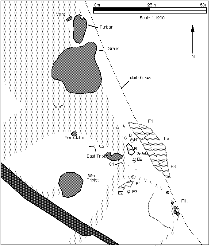
The map comes from my original GOSA Transactions article on the area, and is still a good guide. The only major difference is the disappearance of East Triplet, and the associated Sput-Cs near it.
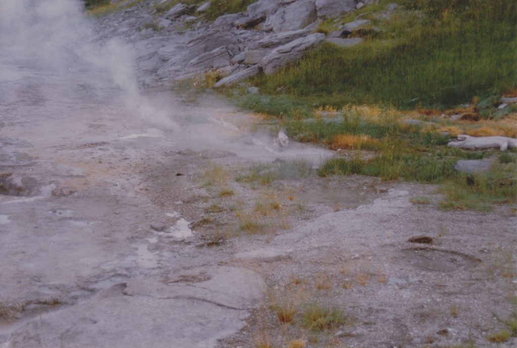
In the center of this photo, with a downed branch beside it, is Sputnik, or Sput-B. To the left, the plume of steam, is Delta, or Sput-D. In the foreground are several frying pans constituting Sput-E, which are no longer active, but the area is still devoid of vegetation.
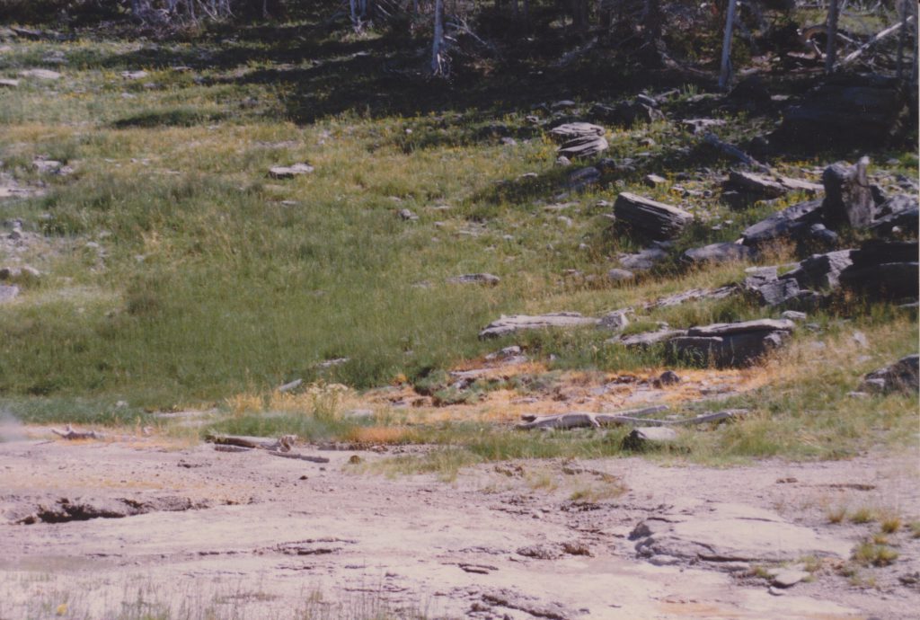
On the left edge of the photo the rim of East Triplet's vent can be made out. Above and to the right, beside the downed log is Sputnik. The large brown area of dead grass is Sput-F. Eventually, three areas of activity became more pronounced and were given sub-designations.
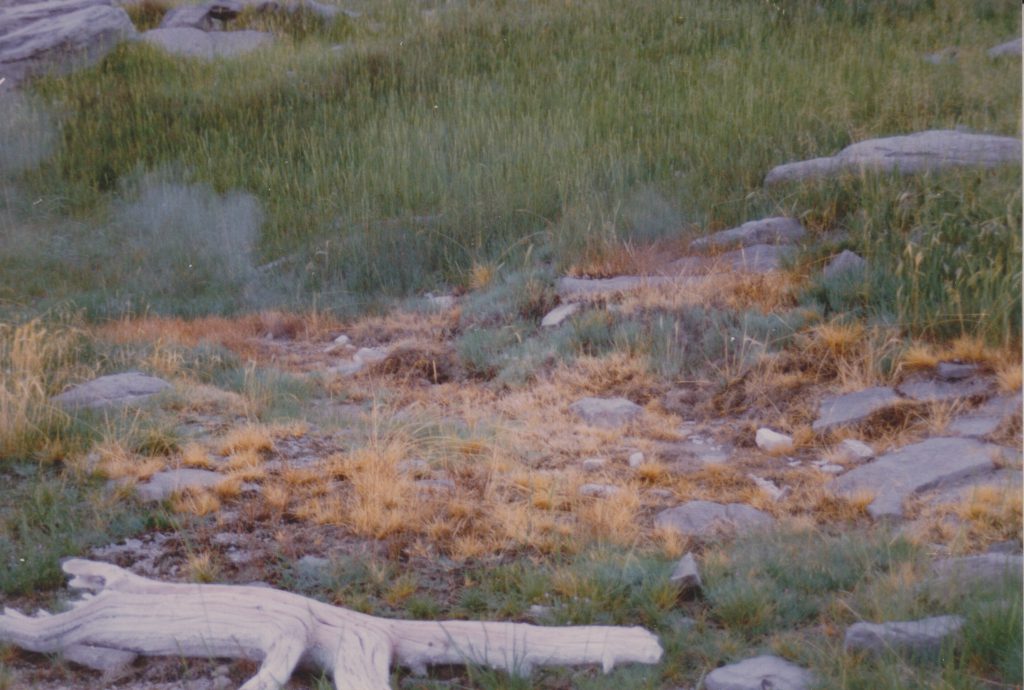
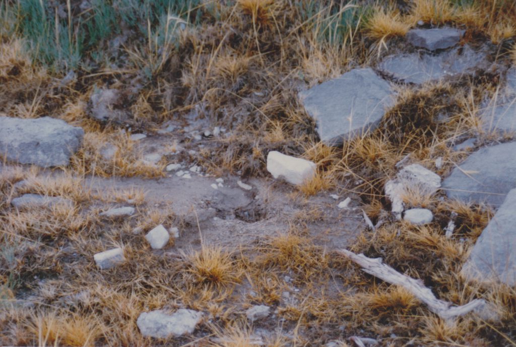
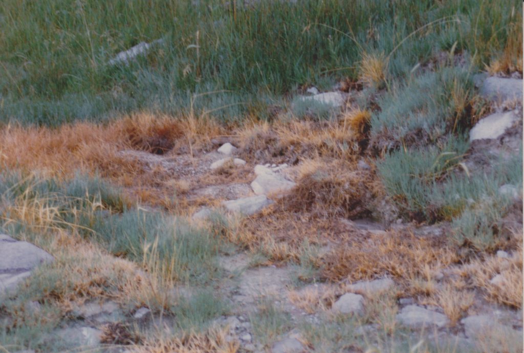
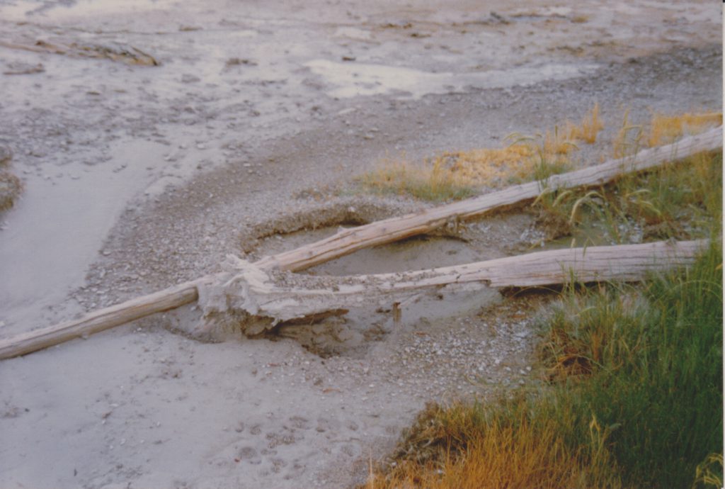
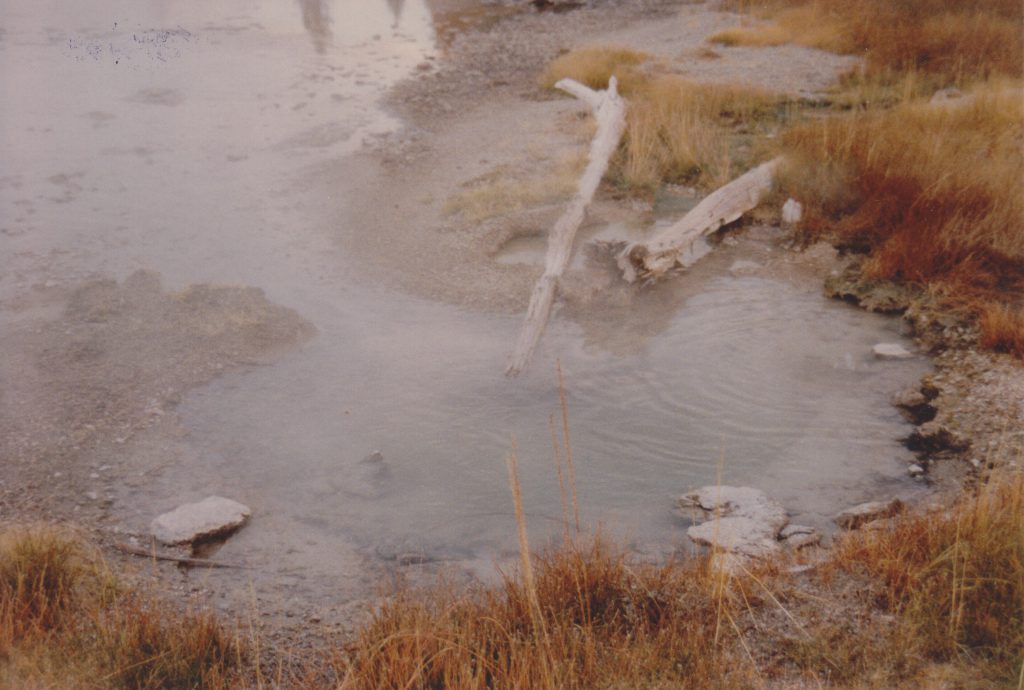
Sputnik also developed some satellite vents, one on each side. Over the years the craters have been filled and cleared out, so which is which is probably not possible to determine any more.
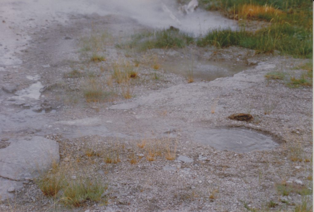
In the foreground is the wet frying pan at the north end of Sput-E. Behind it, in the middle of the photo is Sput-B2, while Sputnik itself is near the top of the photo.
Note that at this time, Sput-D was a small hole which steamed heavily. Over the years it enlarged itself.
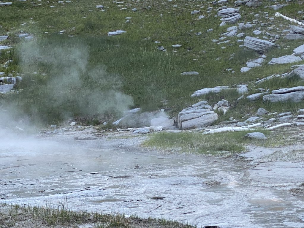
The photo I took last year isn't from up close, but one can still see the are of Sput-F is still active, and the grass there hasn't recovered. Finally, here is a short video showing the area with everything that was active in June 2020.
