Was in the process of doing a final backup of a computer that I bought in 2006 and is having problems restarting. I keep it around mostly to run a few programs that won't run on newer machines because those programs only work on a PowerPC processor.
Was looking through a directory of photos and came across a few that I'd forgotten about. I believe these came to me via Rocco Paperiello back in late 2008, and are part of a package of documents he found concerning the building of the first boardwalks in the Upper Geyser Basin. So they date back to the early 1950s or so.
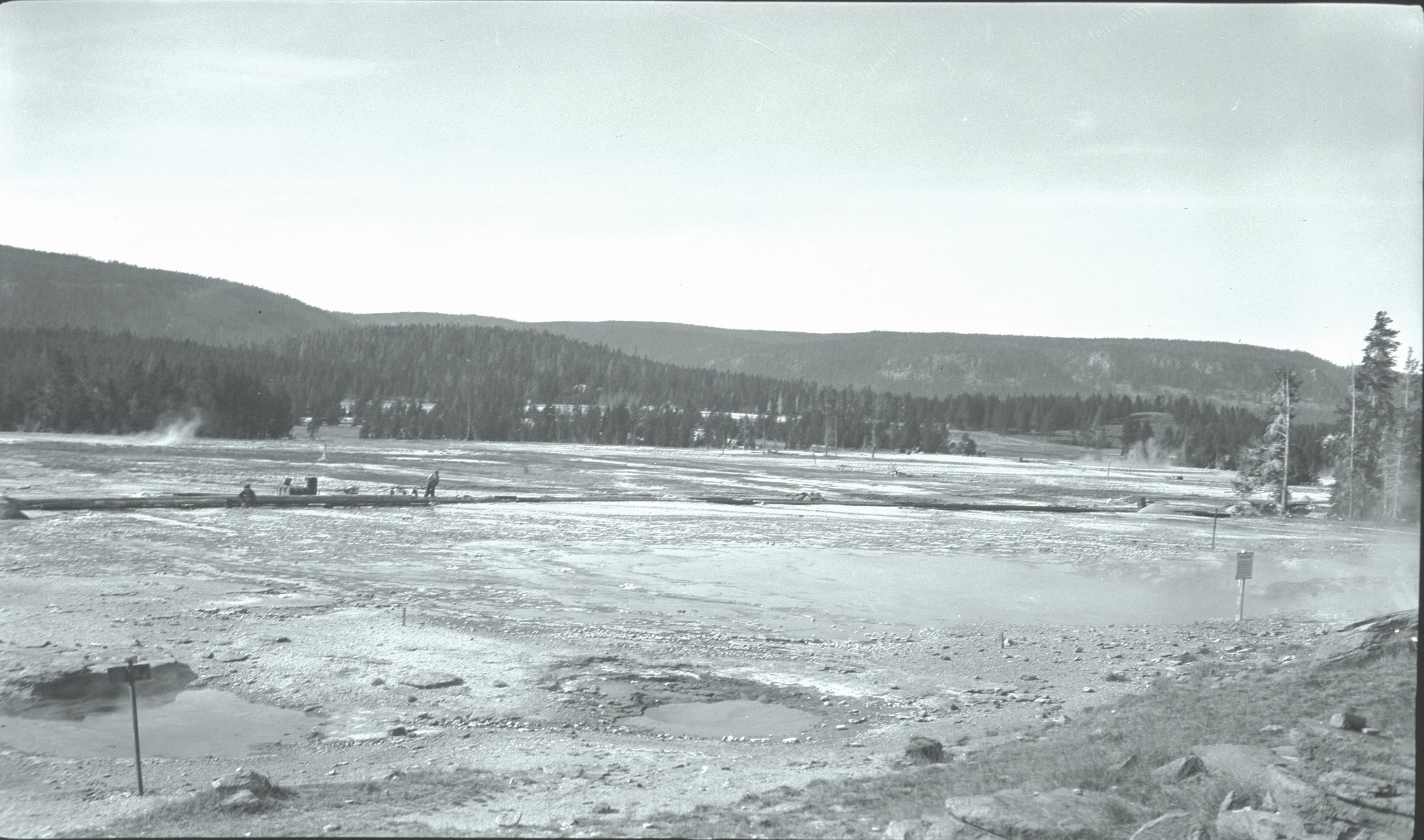
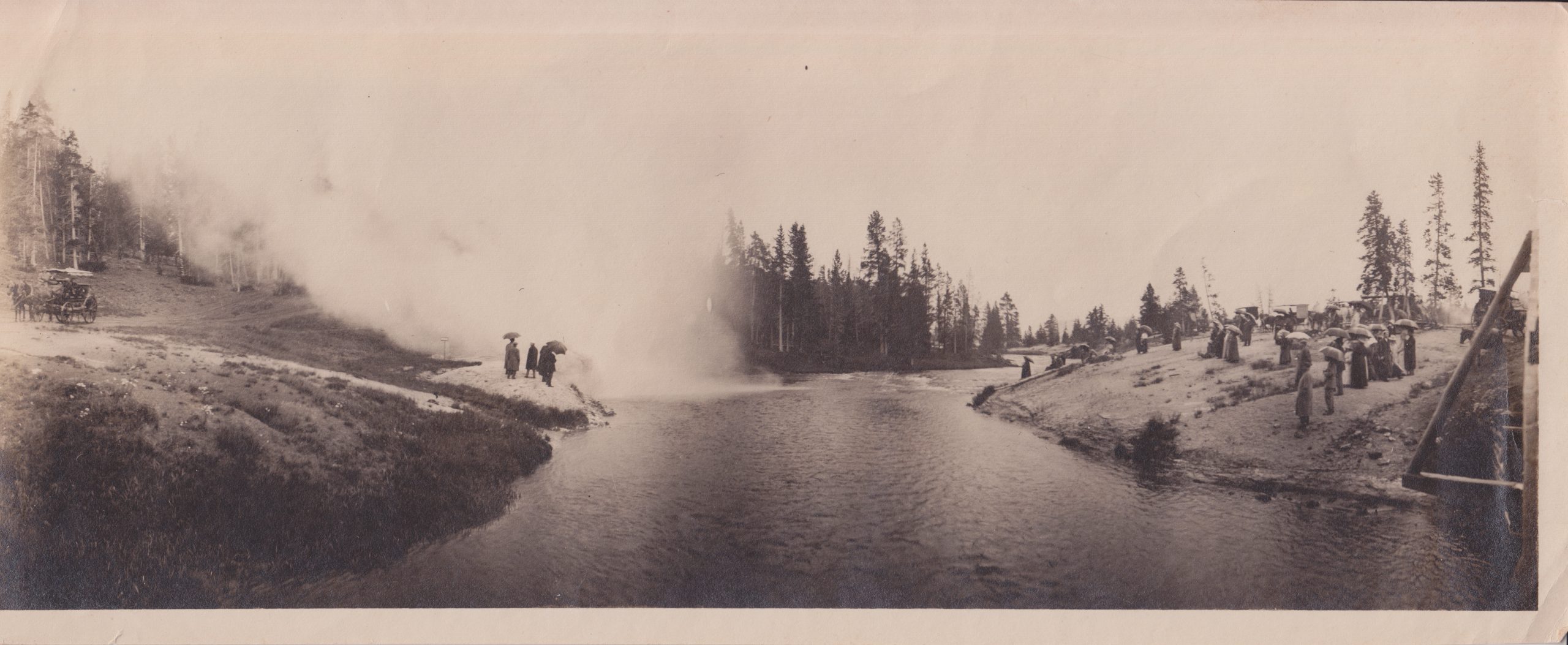
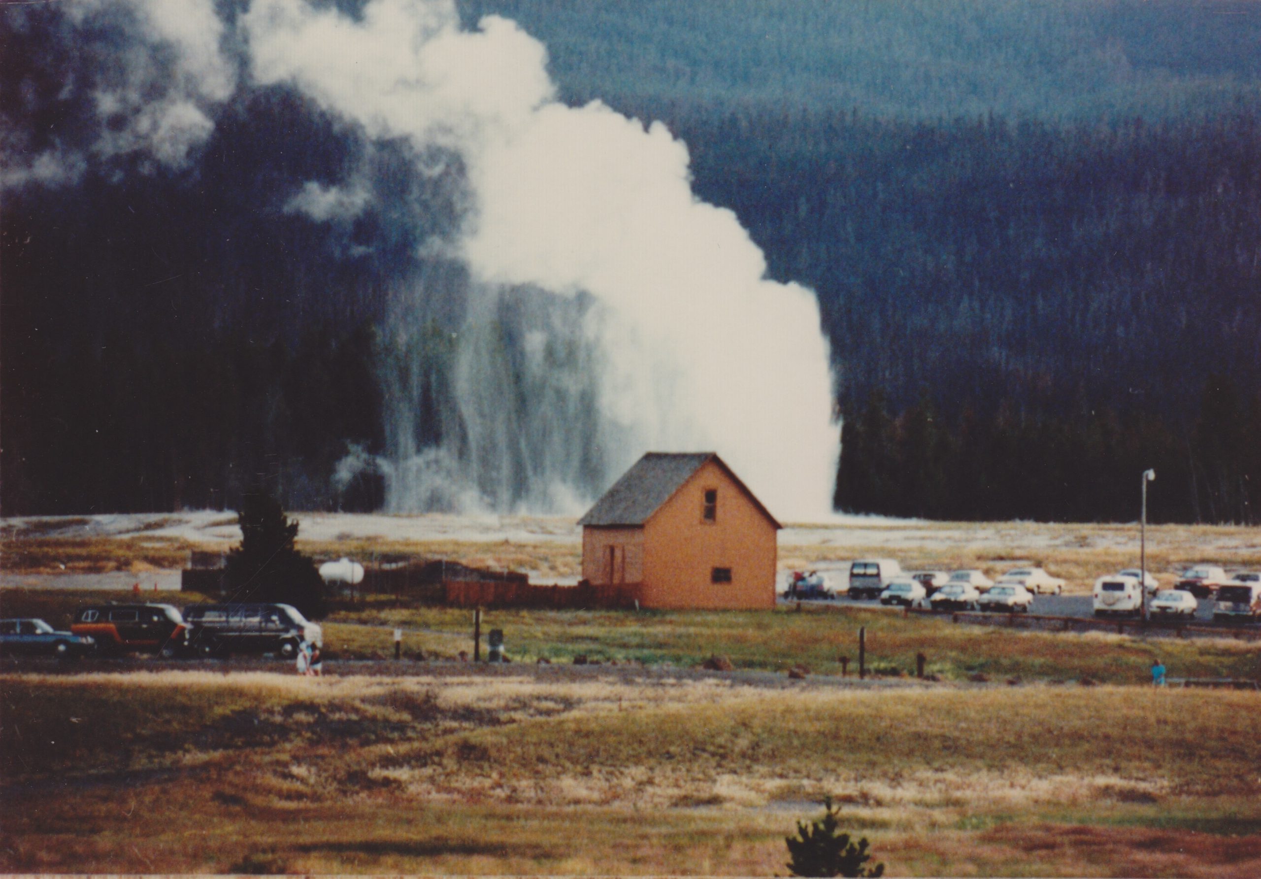
This one of Grand and vicinity is interesting for a number of reason. In the background is the new boardwalk, pretty much at its current position. You can see a pile of lumber and a couple of people working on it.
In the lower left are a couple of craters which I believe are North Triplet on the right, and East Triplet on the left. These would correspond the Grand Sputs of today, with Sput D/Delta on the right and Sputnik/Sput B on the left. It looks like Percolator can be seen as a dark spot if one draws a line between the leftmost crater and the pile of lumber. Note that the feature we called East Triplet in the early 1980s would have been located above and to the left of the vent here.
But also note the number of posts in the ground around the area, and the directions they face. Not just the ones by North Triplet and Grand, but behind the latter sign, beyond Turban, is another post. There's also a fourth, short post between the right most North Triplet vent and Percolator. Also of interest is that the Grand sign is positioned to be read by a person on the hillside, while the North Triplet side faces away.
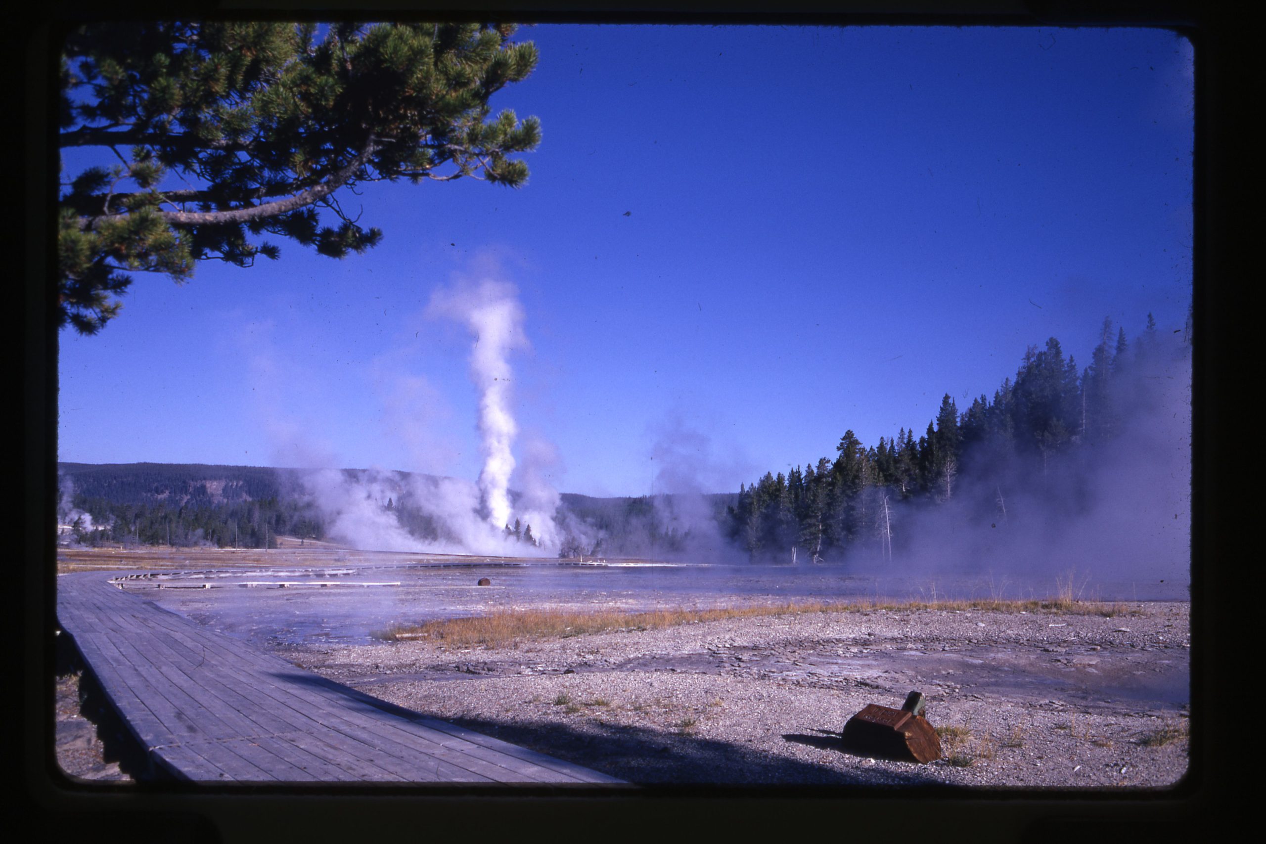
A second photo is a slide that was probably made a few years later. Notice style of the West Triplet sign hasn't changed much. But also, there was a little boardwalk spur leading out toward Grand with another sign log at its end.
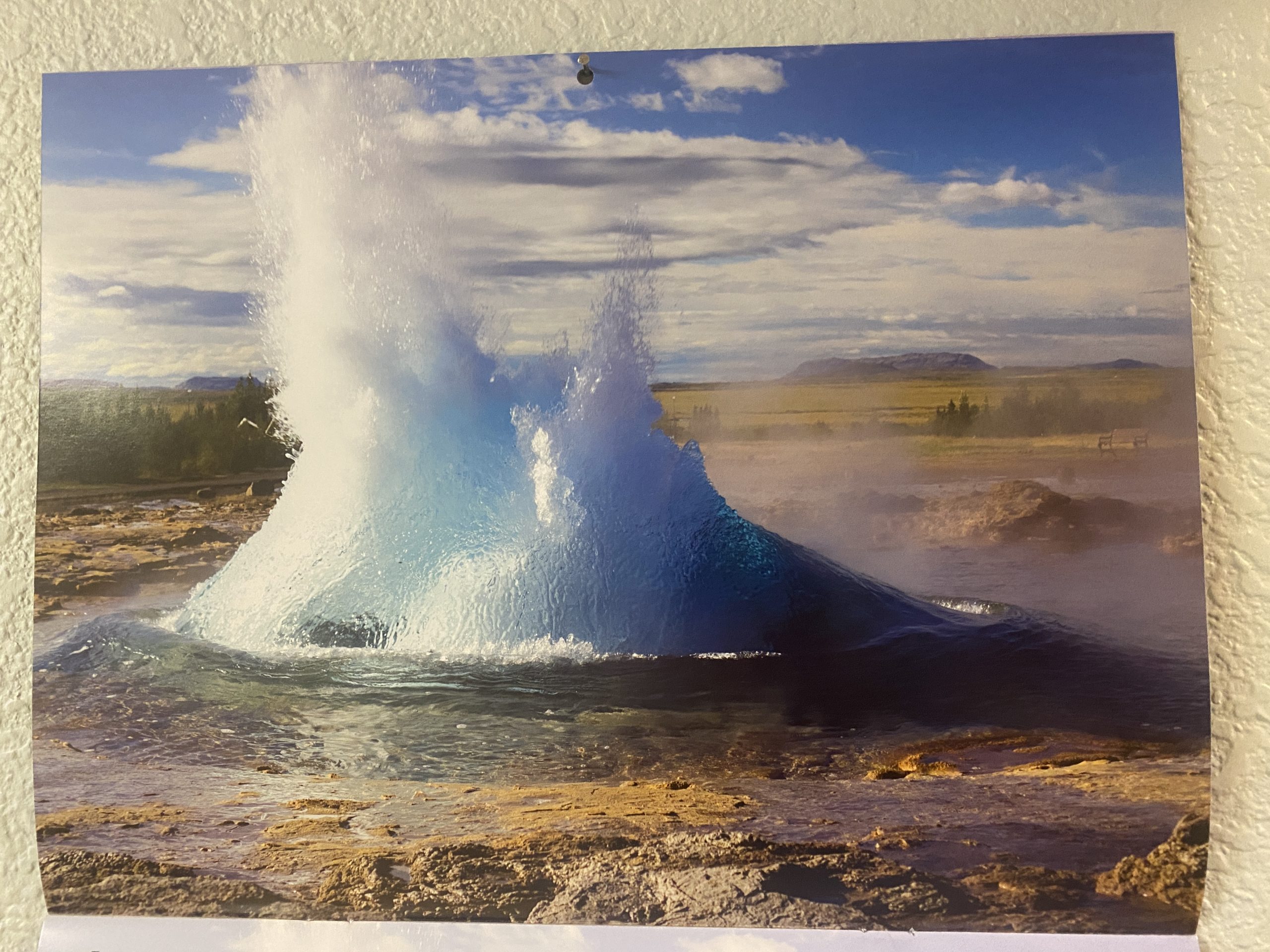
Every year during our summer visits, Suzanne buys a Yellowstone calendar for the coming year. The new calendar went up in the hallway to the kitchen at the start of January, and the picture on the first month was labeled "Fountain Geyser".
"Fountain Geyser"
Except when I saw it, I immediately noticed it didn't look quite right. More like Morning. But with all the post processing going on with photos, I figured that maybe that was it, combined with color changes and a telephoto shot to make it look really close up. Artistic, but not realistic?
But the more I saw it, the more I was convinced that it was not Fountain, but what? Then a week or so ago, I noticed something in the upper right corner that proved that not only was it not Fountain, or anything in the Fountain Group, but not even in Yellowstone.
It helped that I'd seen the same geyser activity back in September. What I saw was a bench, just like the ones around Strokkur. At that point, it all made sense. The shape of the water, the color of the formation, the trees and hills in the background.
This sort of thing happened a lot back in the 19th Century. I have a whole series of mislabeled photographs, bought years ago when I was actively collecting such photos. Now I've got one more for the collection.
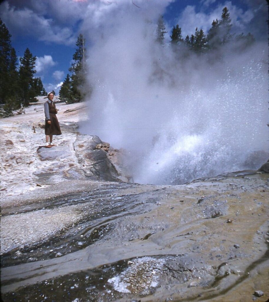
Recently Cynthia Barwin noticed a listing on eBay.com. Since she wasn't interested in bidding, I went and acquired this stereo photo. The image is taken from the listing, as I currently have no good way to scan it. A notation on the Kodachrome slide mount implies that it was taken at 10:50.
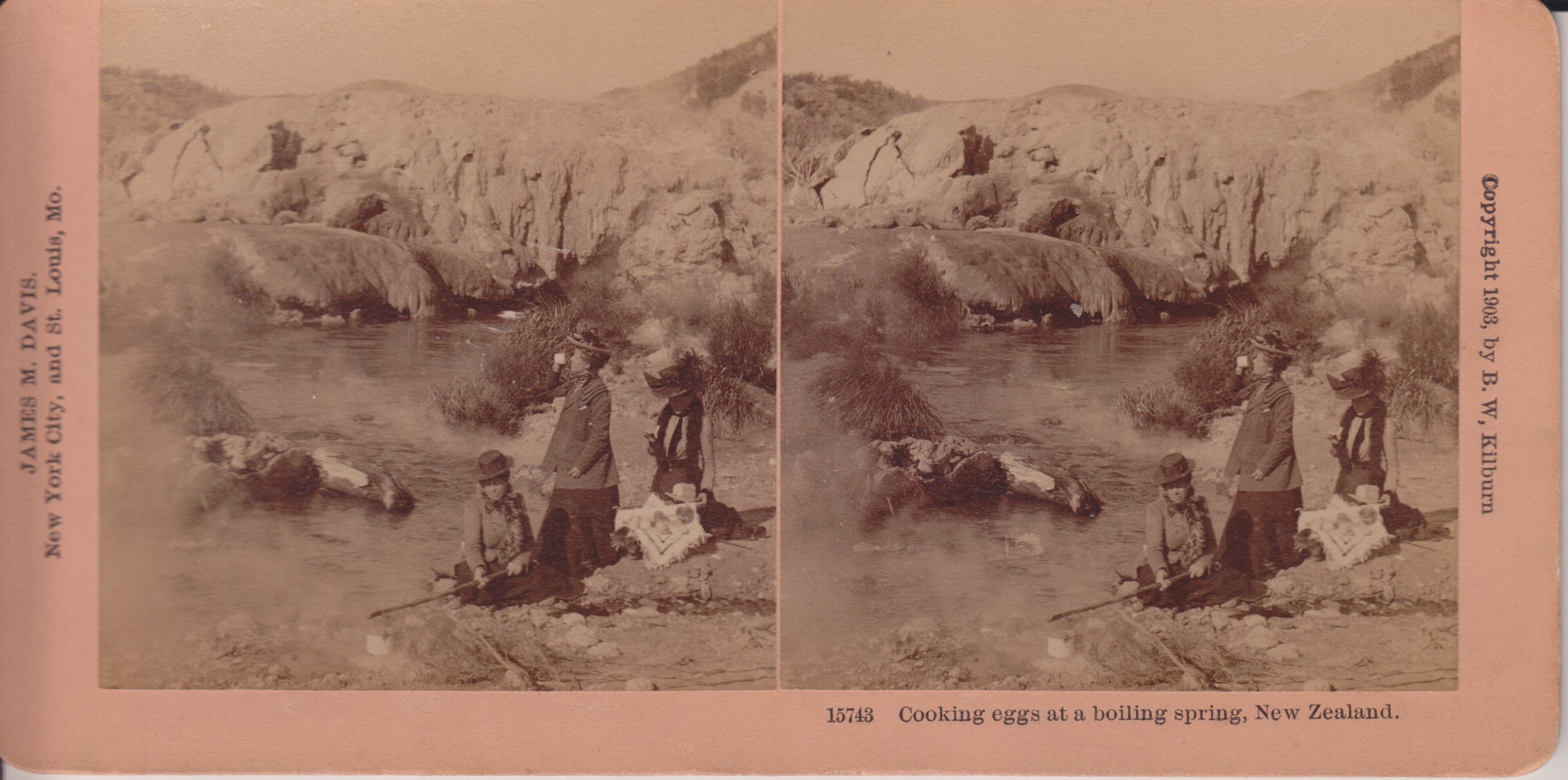
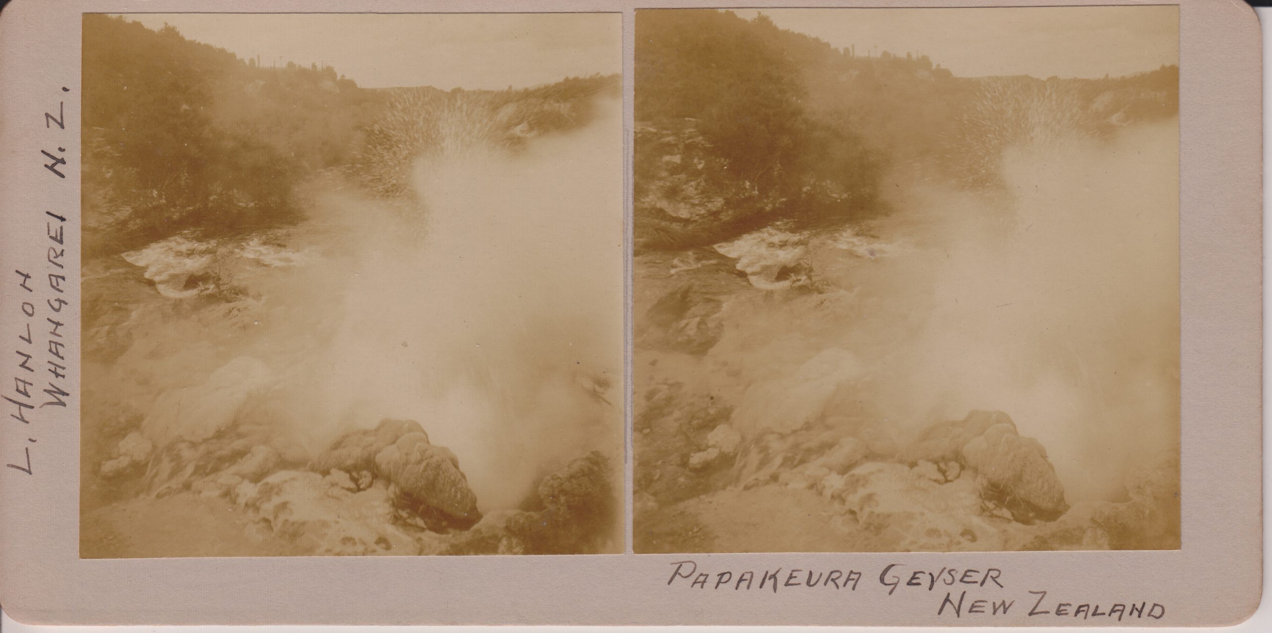
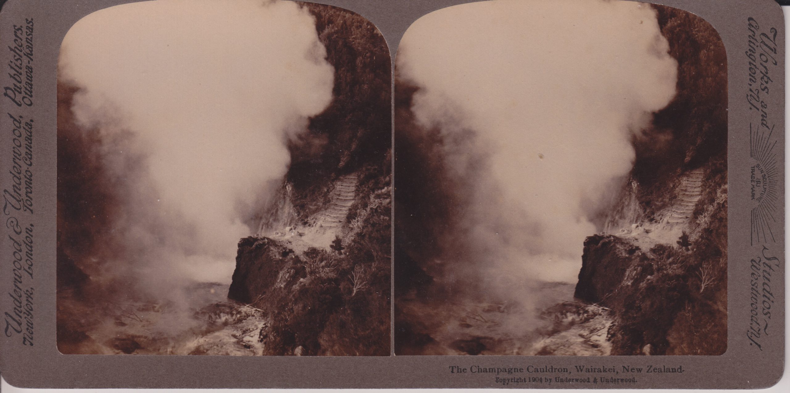
Here are a series of stereoviews taken of New Zealand geysers taken around the start of the 20th Century.
Cooking eggs at a boiling spring B.W.Kilburn #15743
This is a view of Kereru Geyser and the Geyser Flat mound where Pohutu Geyser is located. Kereru is the low, darker mound along the stream bank. When we visited in 2019, the area where the cooking is occurring was an area with numerous frying pans, but no distinct erupting features that I could see.
Papakeura Geyser L.Hanlon, Whangarei
Now called Papakura Geyser, this feature was a large perpetual spouter upstream from Pohutu Geyser along Puarenga Stream at Whakarewarewa. The activity ended in 1979, and that cessation lead to the campaign to limit the use of geothermal bores within 1.5 kilometers of Pohutu. Papakura did erupt for a couple of days in 2015.
The Champagne Cauldron, Wairakei Underwood & Underwood
With the production wells for the Wairakei powerplants nearby, this feature is now a hole in the hillside filled with vegetation.
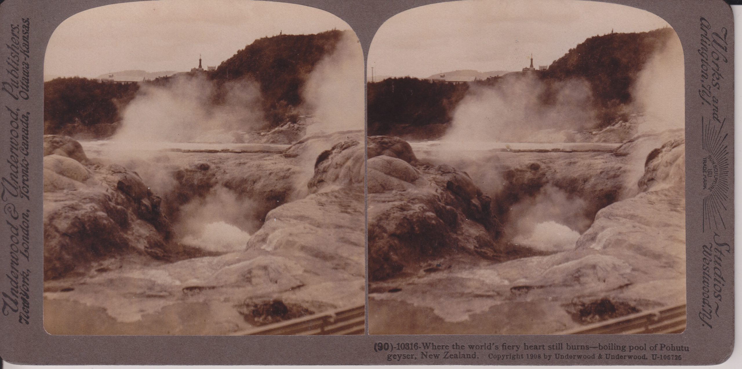
Where the world's fiery heart still burns — boiling pool of Pohutu Geyser Underwood & Underwood #10316
The large vent in the center seems to actually be the vent of Te Horu, which in years past would show sympathetic responses to Pohutu's activity. I believe Pohotu is actually the mound cut off by the right edge of the photo.
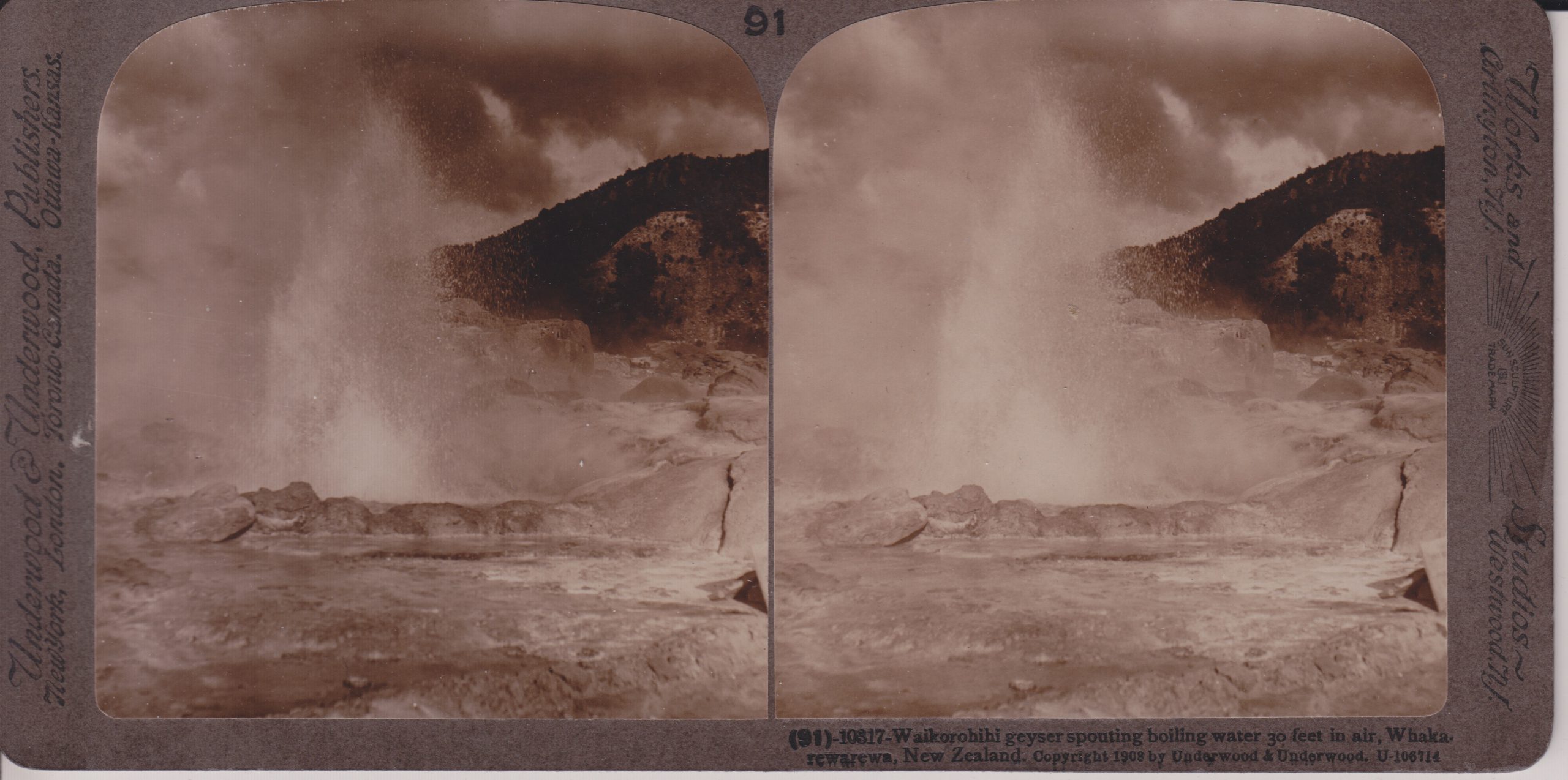
Waikorohihi Geyser spouting boiling water 30 feet in air Underwood & Underwood #10317
This feature is located near Pohutu, and has underground connections to it. It has been occasionally active the last few decades. When we visited in 2019, that was not one of those times, as it and nearby Mahanga were steaming and depositing sulfur around the vents.
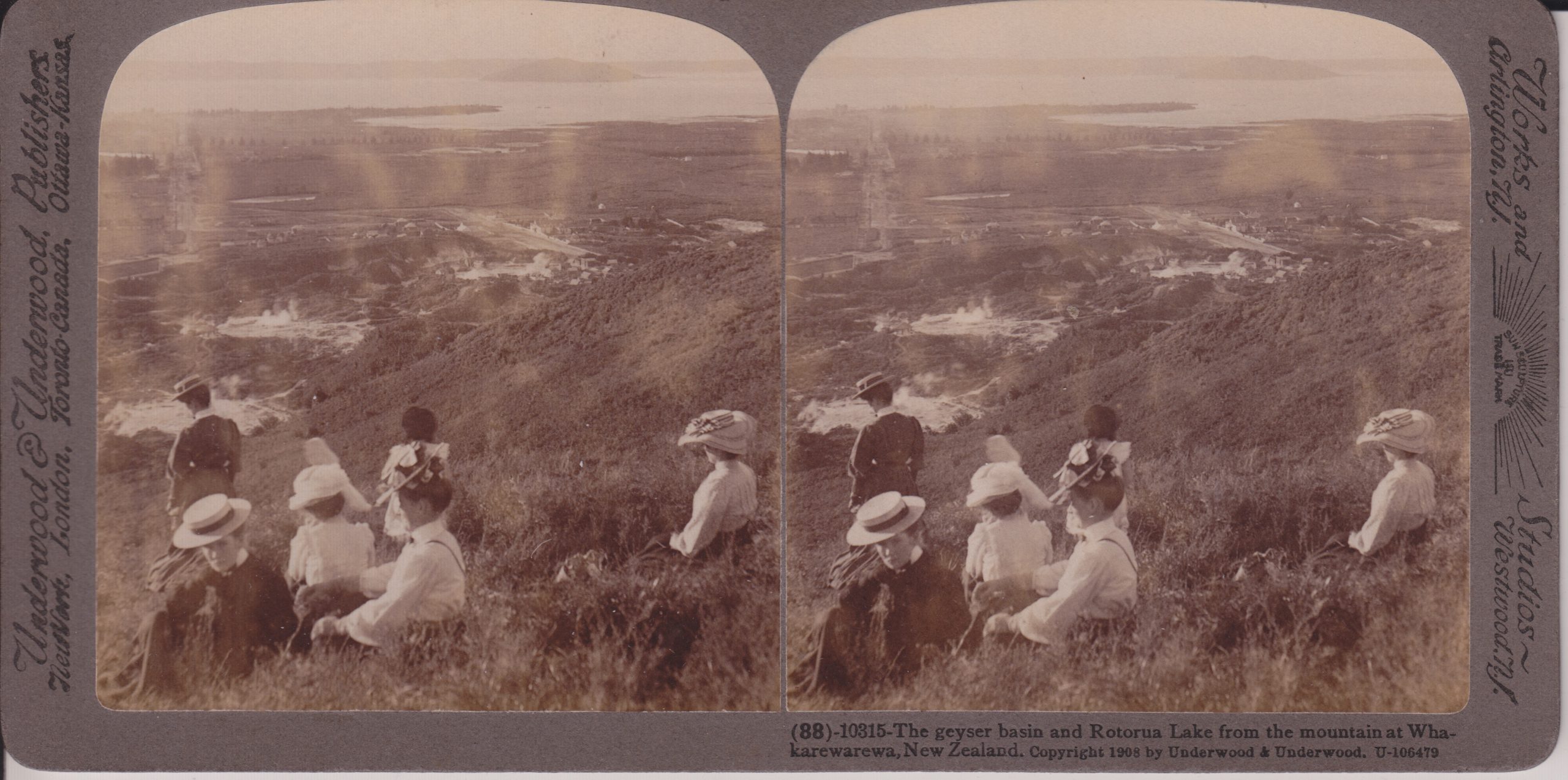
The geyser basin and Rotorua Lake from the mountain at Whakarewarewa Underwood & Underwood #10315
This is probably near the overlook we hiked to when visiting in 2019. On the left side Fenton Street is visible. Fenton was laid out to point directly toward Waikite Geyser, which is located in the bare area behind the standing woman. Pohutu Geyser and the Geyser Flat is the bare area above and to the right of that. Off in the distance, Sulphur Bay of Rotorua Lake is visible. The Whakarewarewa village is in the steaming area to the left of the center of the view. Note that today, the whole area beyond the thermal areas is the city of Rotorua. Much of the hillside to the right is now covered in trees.
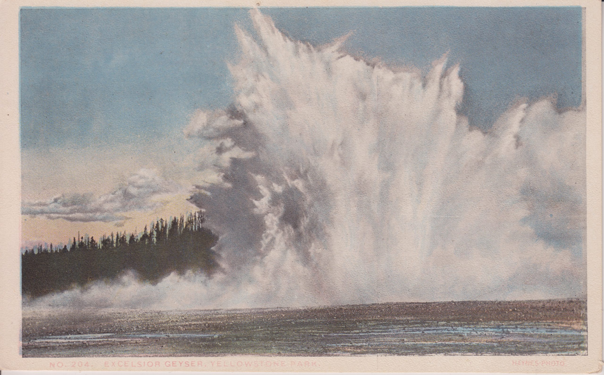
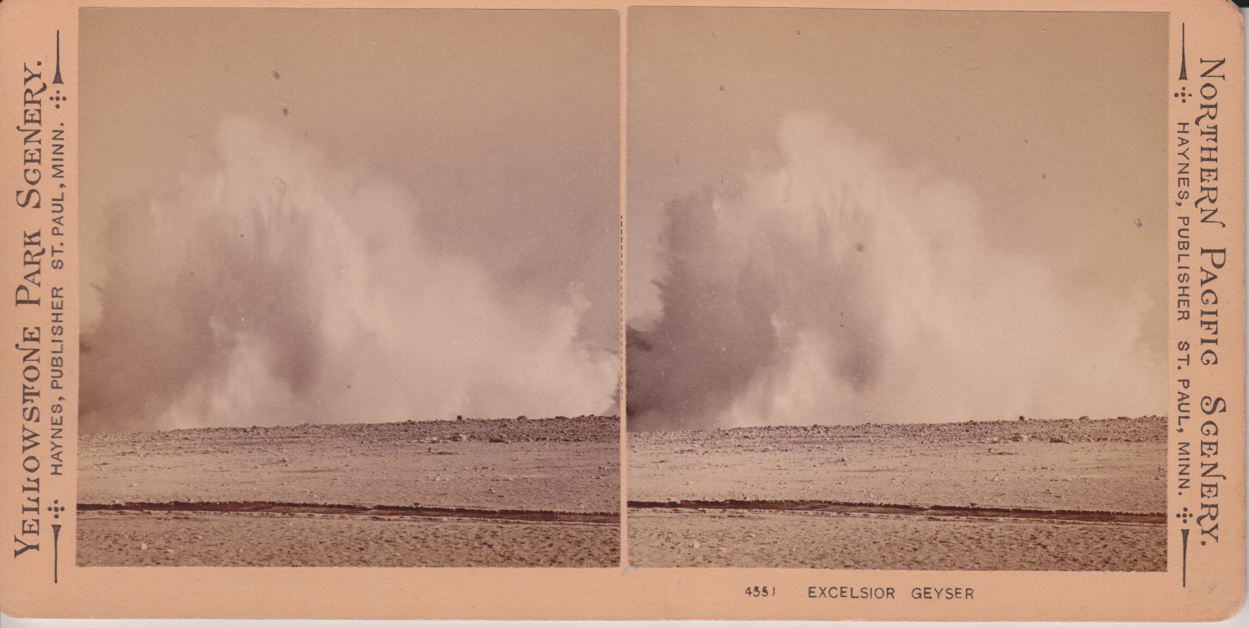
For some reason, the same Haynes photo of an eruption of Excelsior was used exclusively for years, as if it was the only known photo of Excelsior in eruption.
Maybe it was the only or best one he had, but there are others. Here's that photo, tinted for a postcard.
Here's a slightly different stereoview.
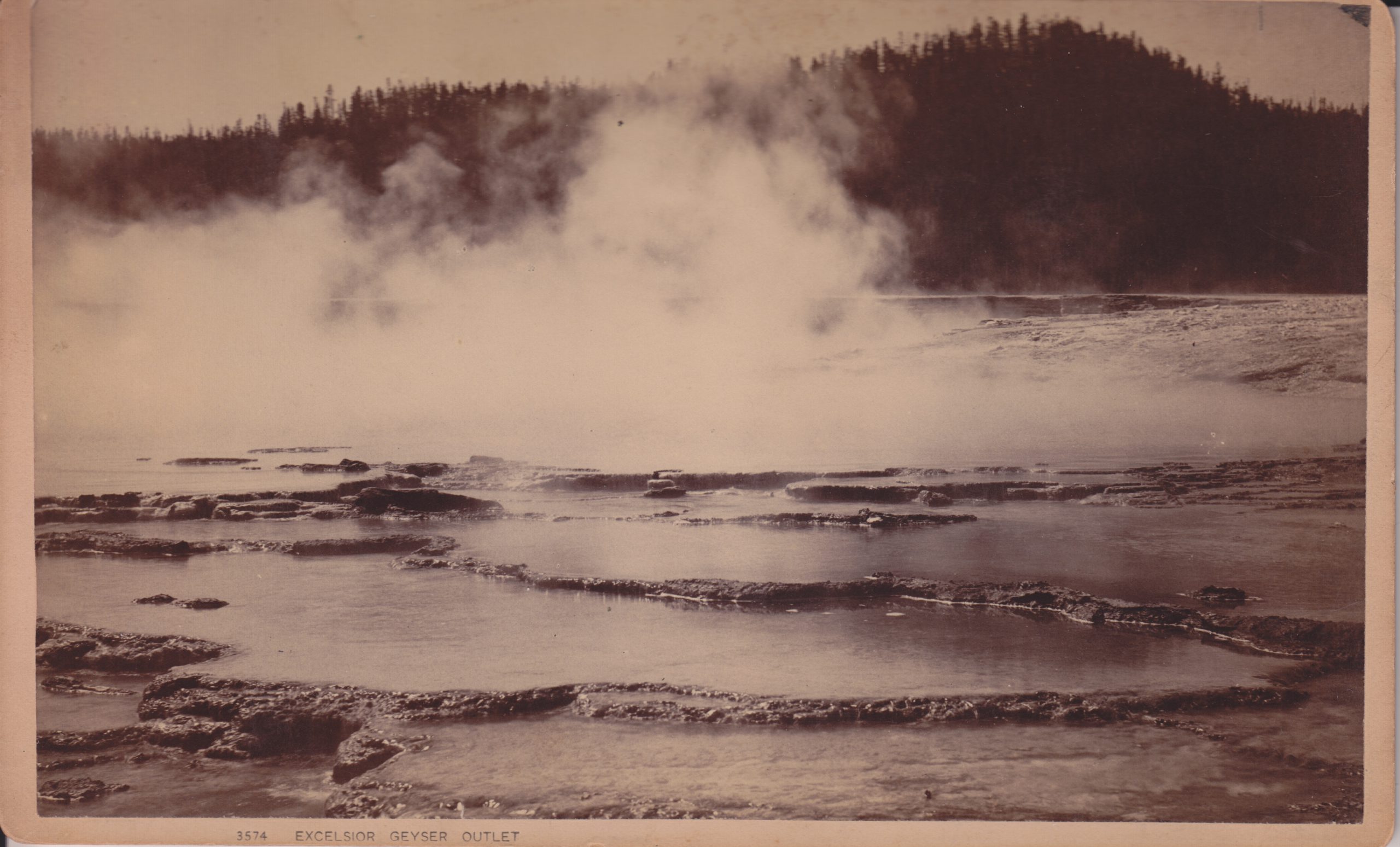
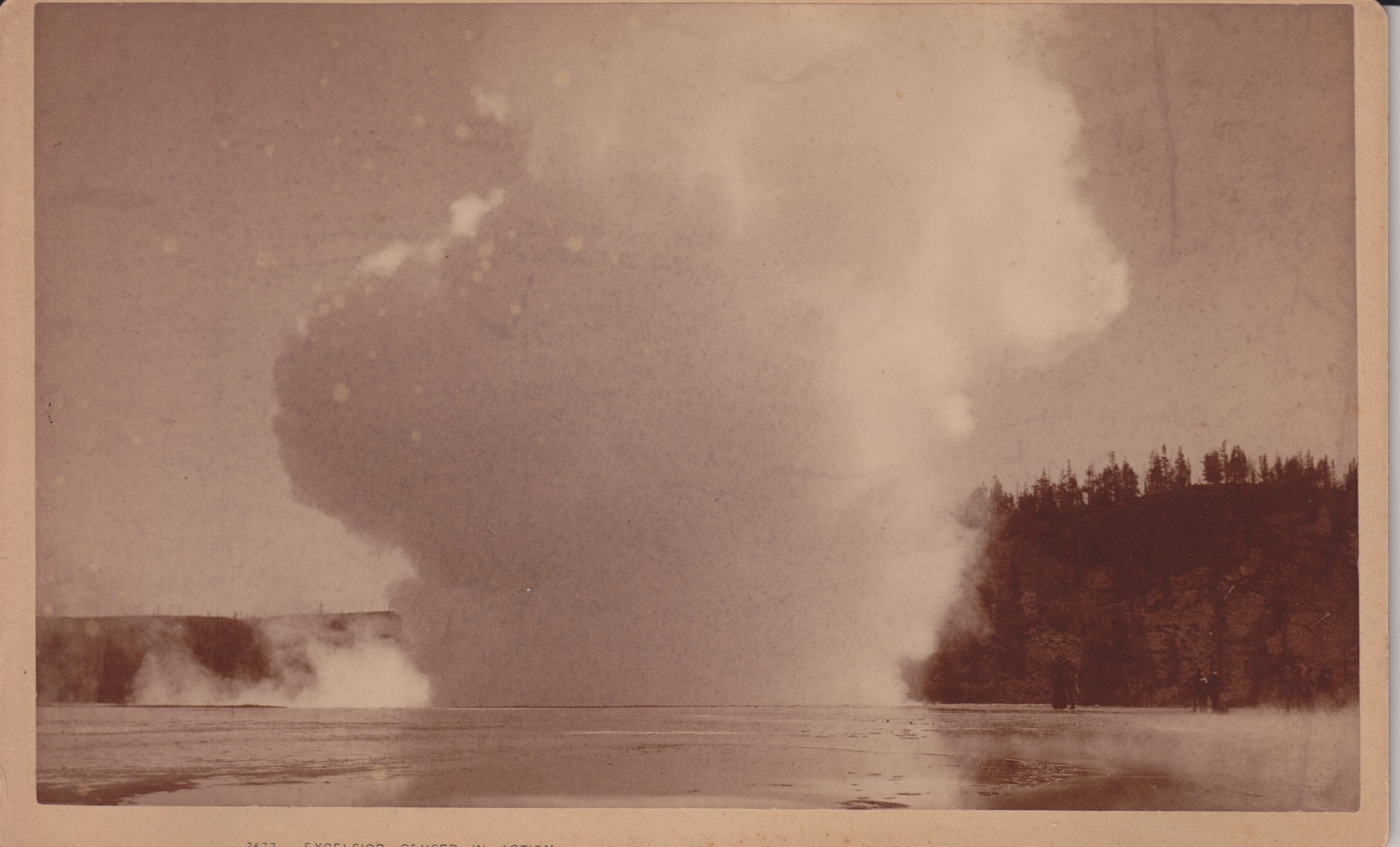
Next are a couple of Haynes cabinet prints. These were photographs larger than a postcard mounted to cardboard backing.
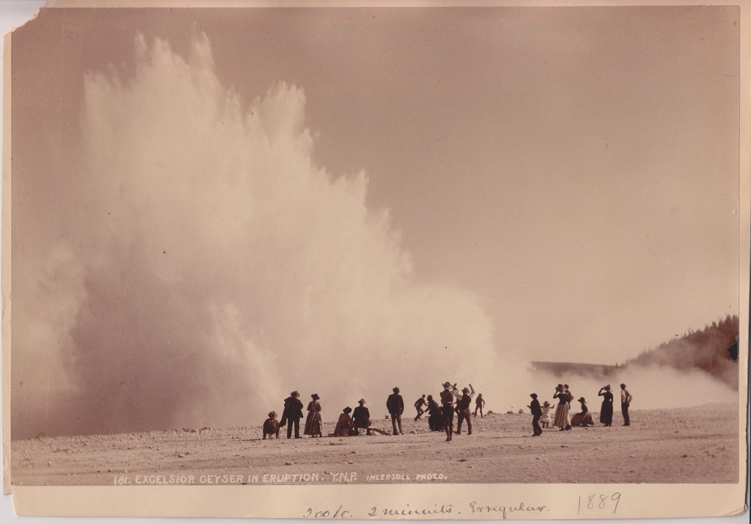
Finally, here's another eruption view, taken by Ingersoll.
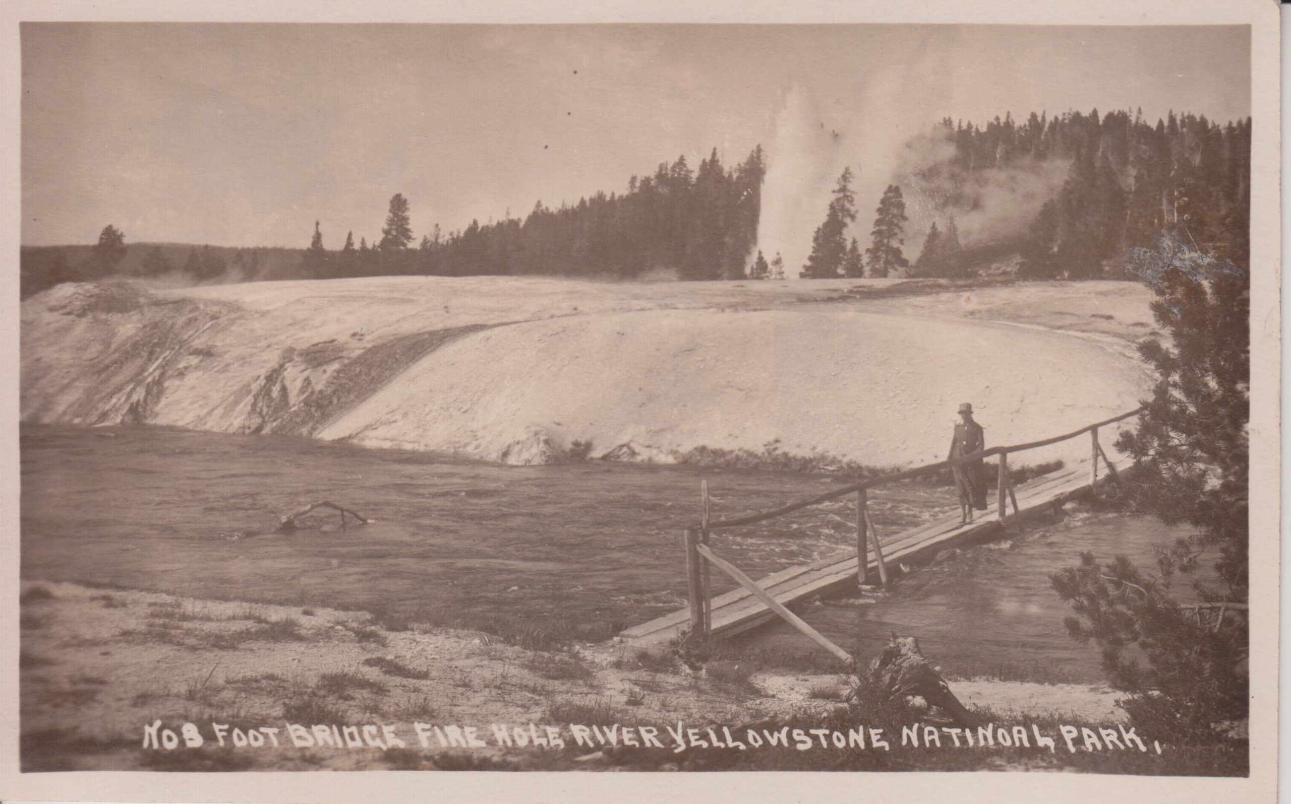
Here are a series of prints and photographs showing bridges in the Upper Geyser Basin that no longer exist.
First are a couple of series of lithographs. The Haynes "Souvenirs of Yellowstone" and W.C.Riley's "The World's Wonderland" are similar and different. Both contain many of the same pictures, some of which are still commonly recognizable. Other pictures are unique to that particular publication. Both are fanfolded-- a long strip folded to look like pages, but the Riley is in "landscape" format, wider than it is high, which the Haynes is in "portrait". The Riley was published in 1889, while the Haynes is undated, but was from Fargo, D.T.
Souvenir of Yellowstone - Haynes
The World's Wonderland - Riley
Souvenir of Yellowstone - Haynes
The World's Wonderland - Riley
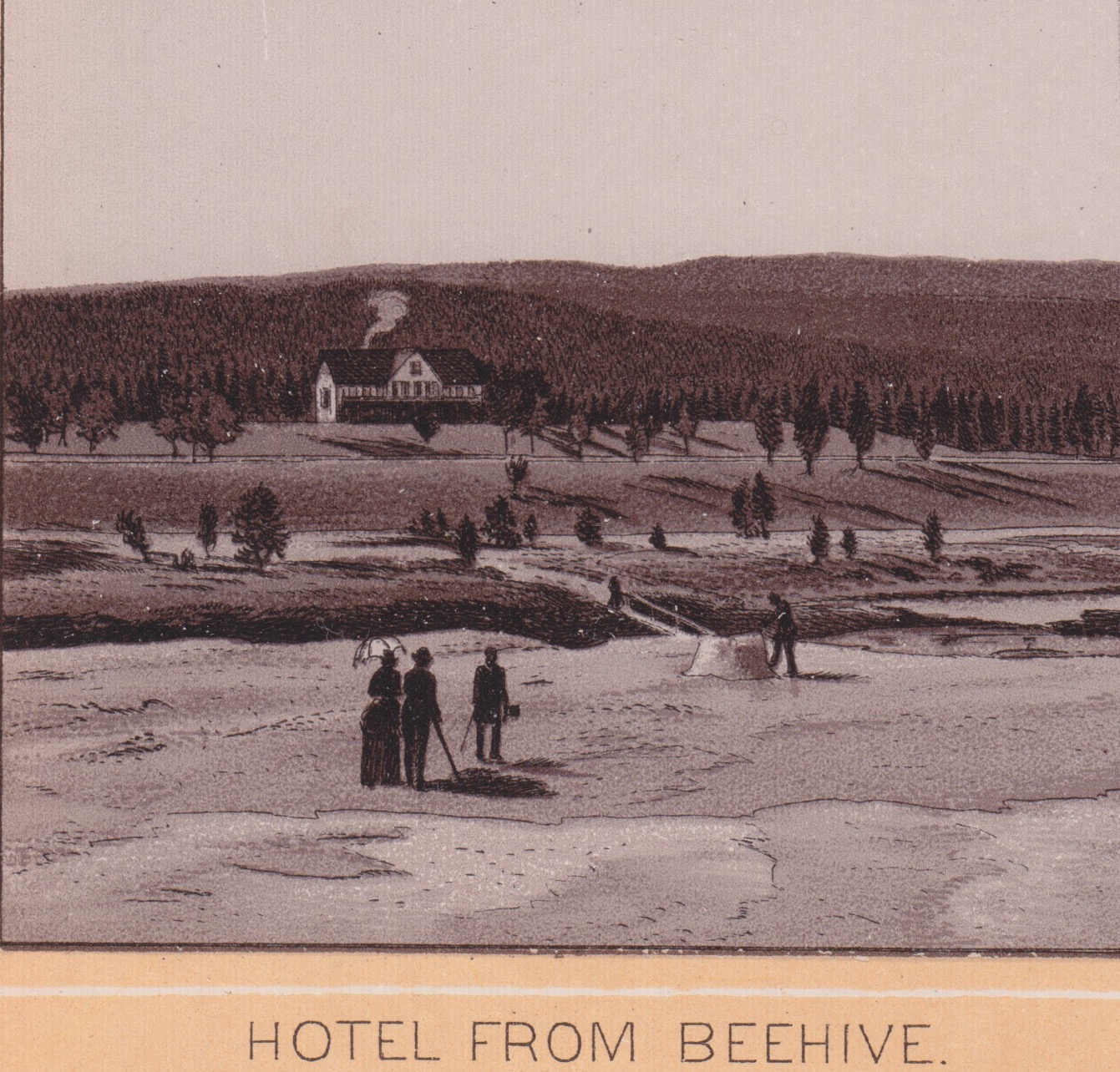
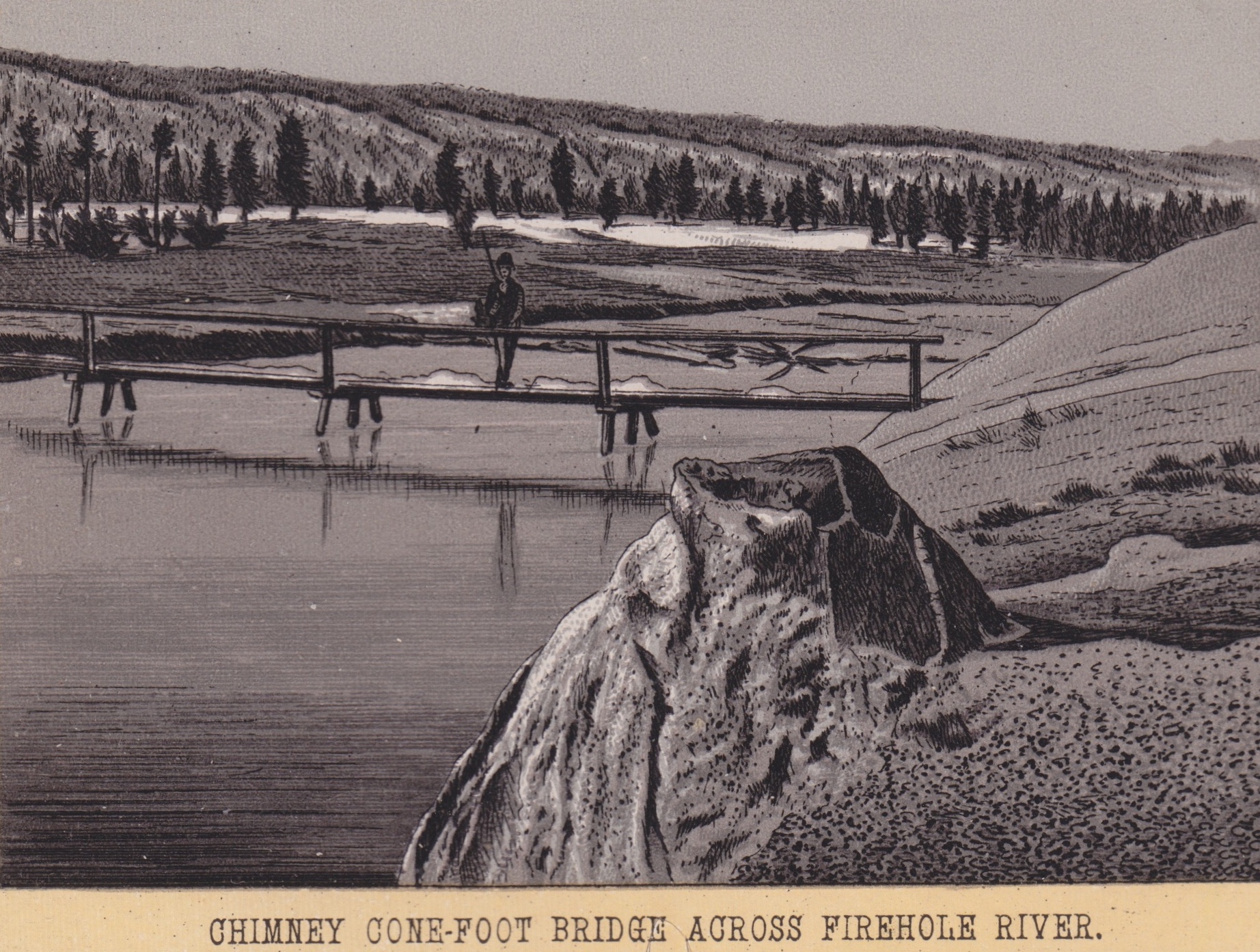
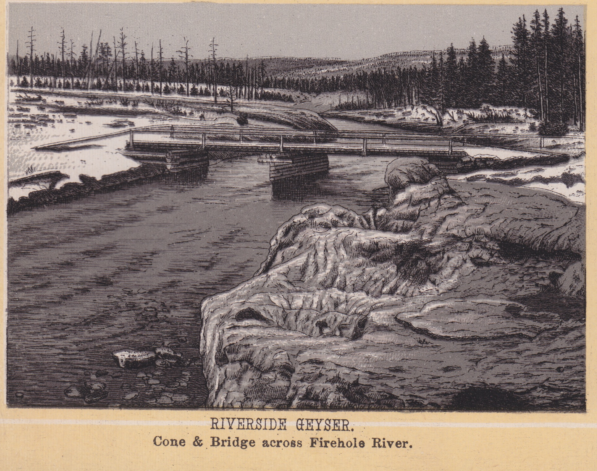
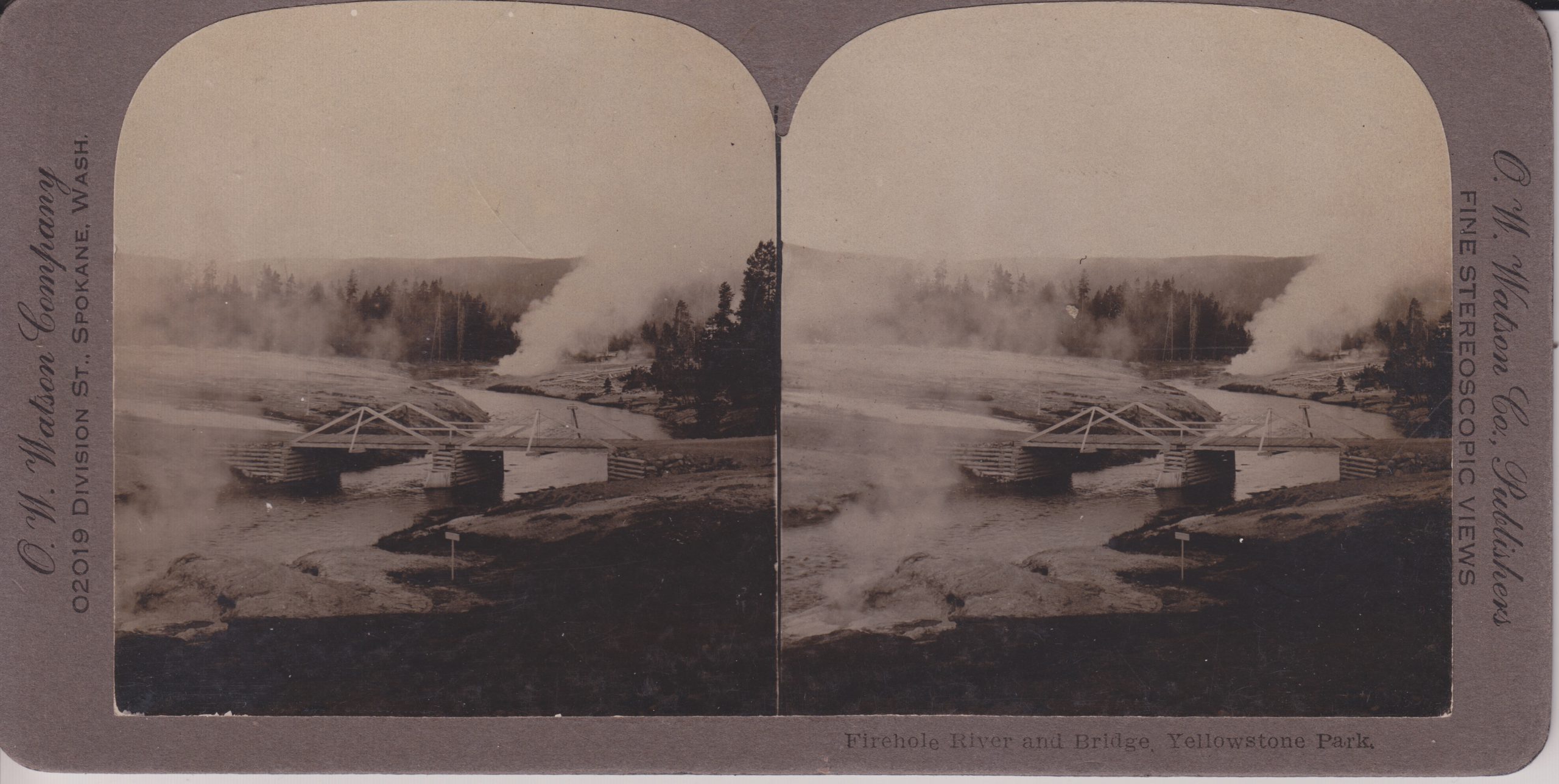
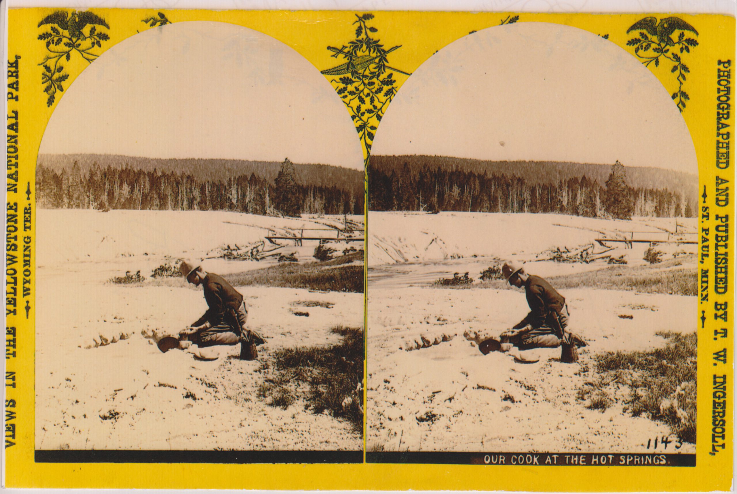
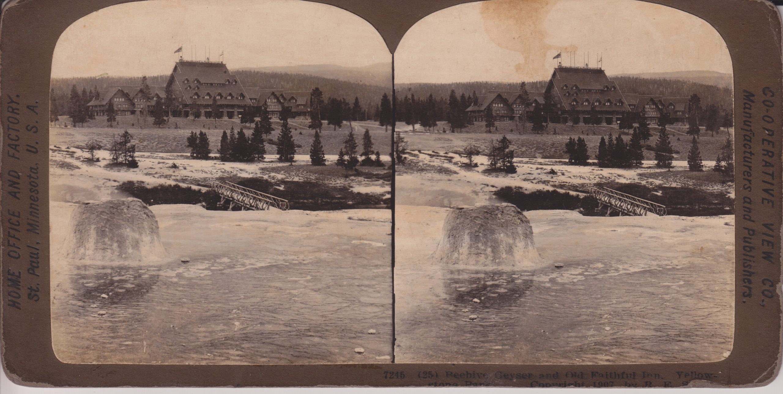
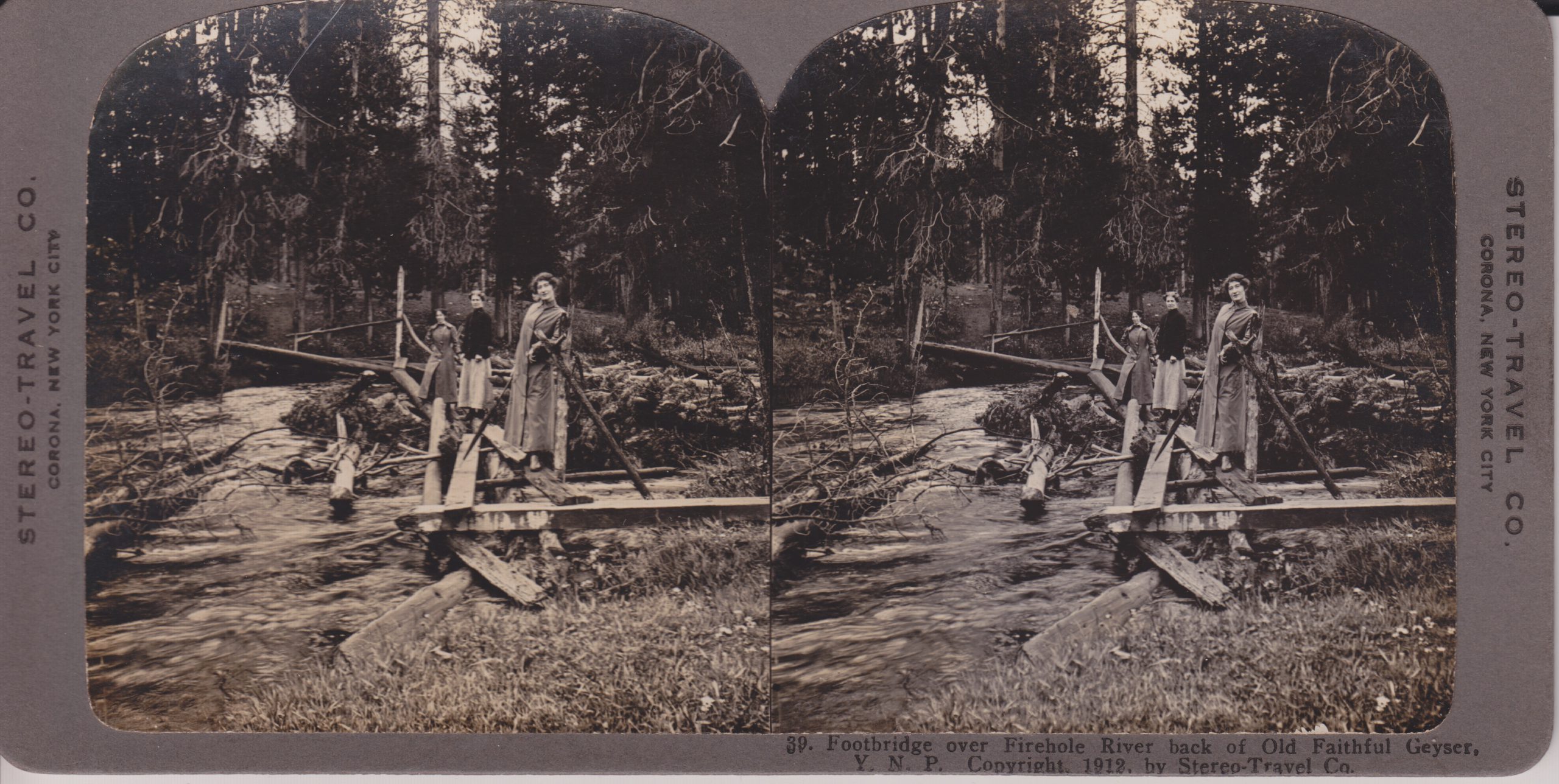
Stereoviews document the wide variety of bridges in the Upper Basin.
Firehole River and Bridge [Fan & Mortar activity in background] O.W.Watson
Our Cook at the Hot Springs [Terra Cotta Geysers] T.W.Ingersoll (from M.A.Bellingham collection)
Beehive Geyser and Old Faithful Inn, Co-operative View Co.
Footbridge over Firehole River back of Old Faithful Geyser Stereo-Travel Co.
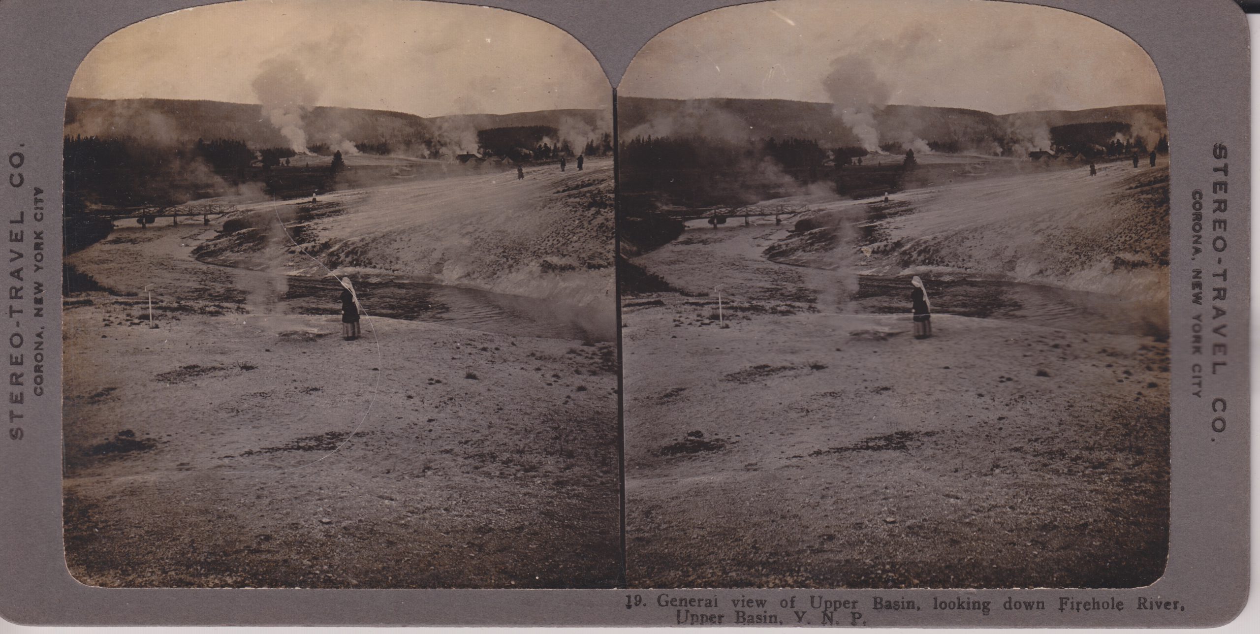
General view of Upper Basin, looking down Firehole River Stereo-Travel Co.
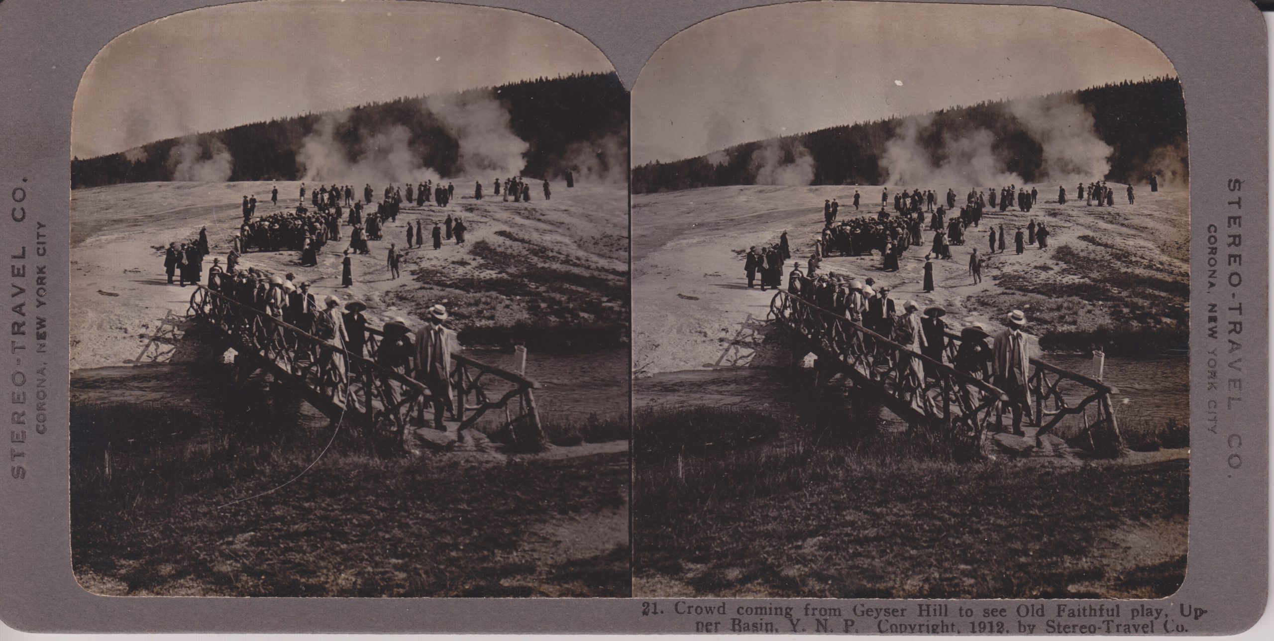
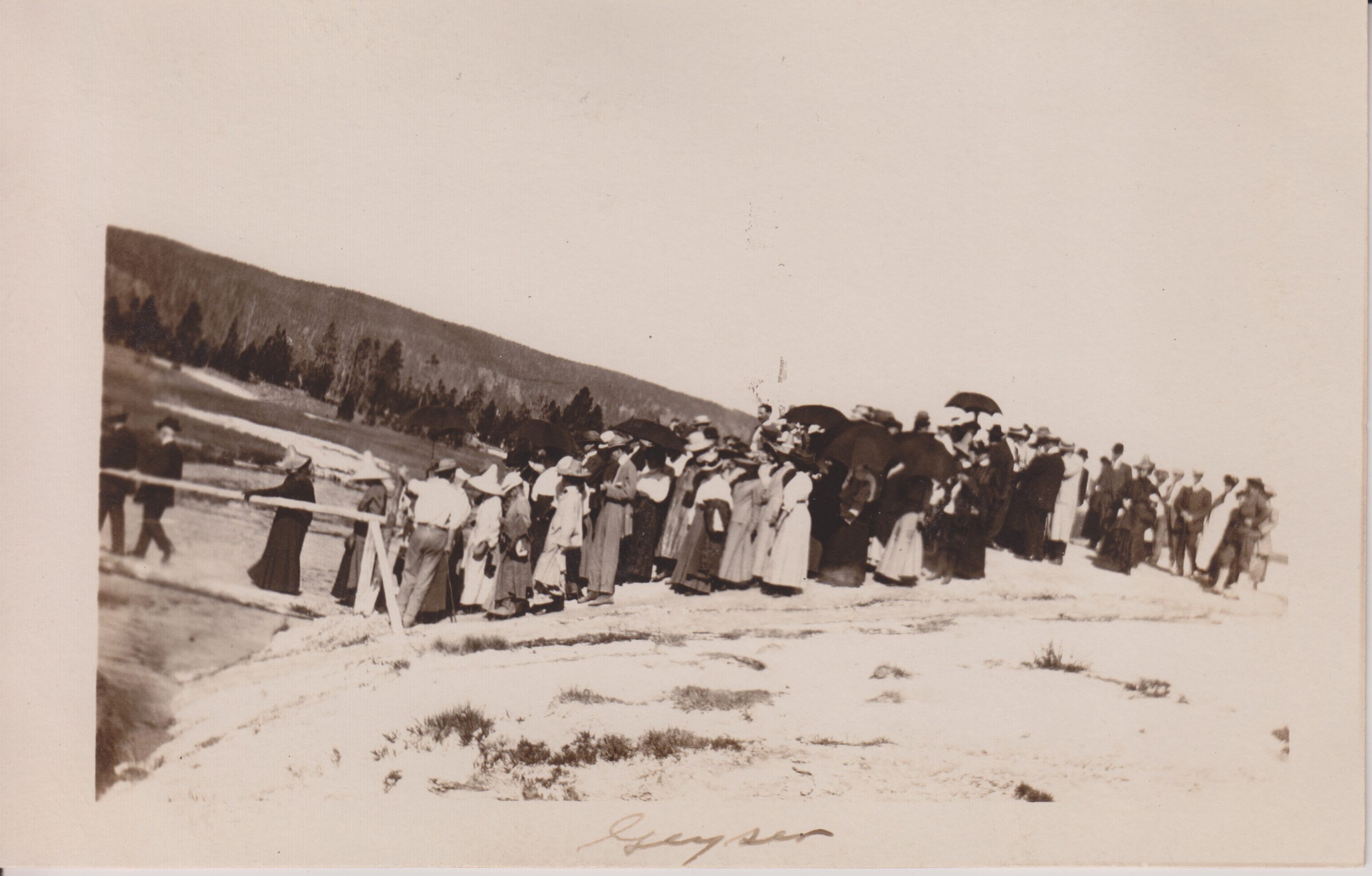
Crowd coming from Geyser Hill to see Old Faithful Play Stereo-Travel Co.
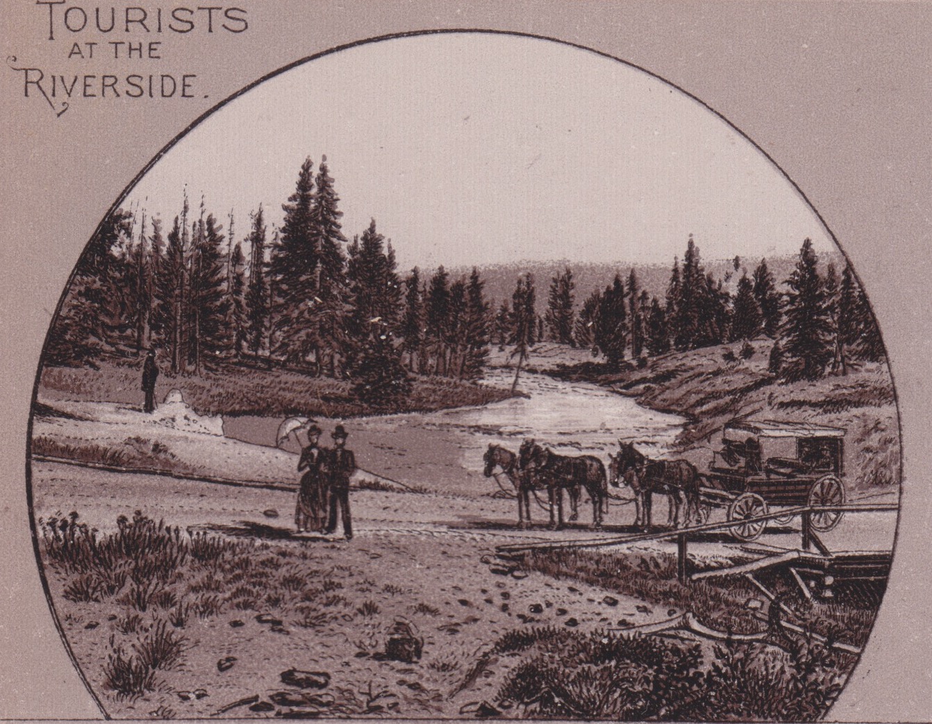
Next are some photographs. The first two are postcards, while the last two are panoramas over a foot wide.
Wesley Andrews Postcard
Photo postcard, source unknown
Unpublished panorama
Unpublished panorama
As a bonus, here's a couple more images from "Souvenir", showing how different some features were back then.
Today was going to be the start of nine days of visiting the thermal areas in and around Rotorua. That didn't happen, but here are a few old postcard views showing things that, for the most part, we wouldn't have seen anyhow.
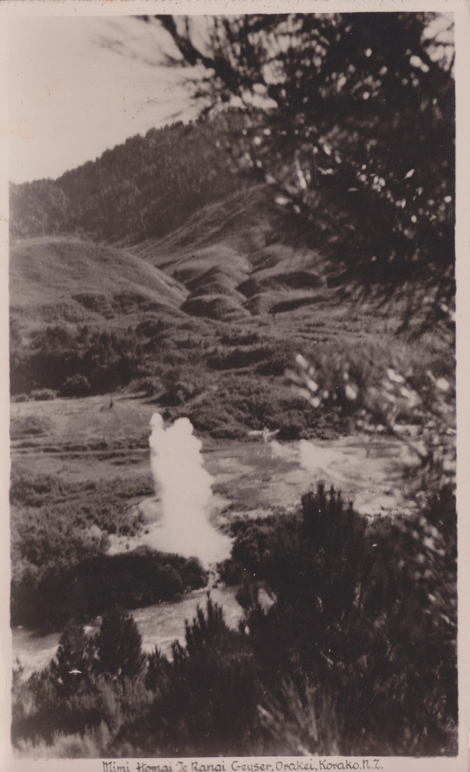
Te Mimi-a-Homai-o-te-Rangi* Geyser, Orakeikorako
This feature, on the west bank of the Waikato River, now lives beneath the waters of Lake Ohakuri to the north of the ferry crossing over to the terraces. In the 1940s it erupted as frequently as every three hours to heights up to 24 meters (75ft).
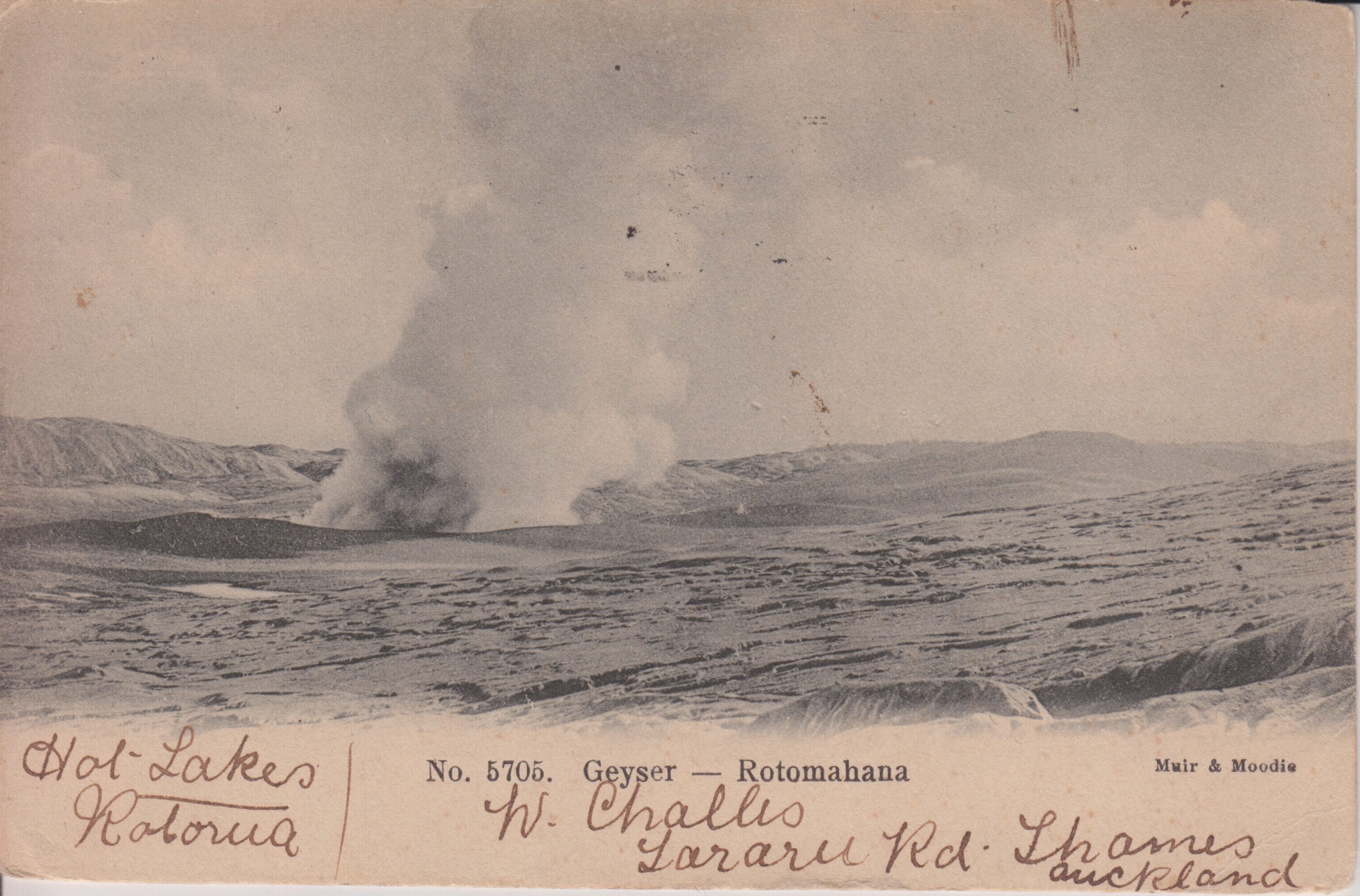
Thermal activity near Rotomahana
This card has a postmark from 1905, so it is quite possible that it is showing activity from Waimangu.
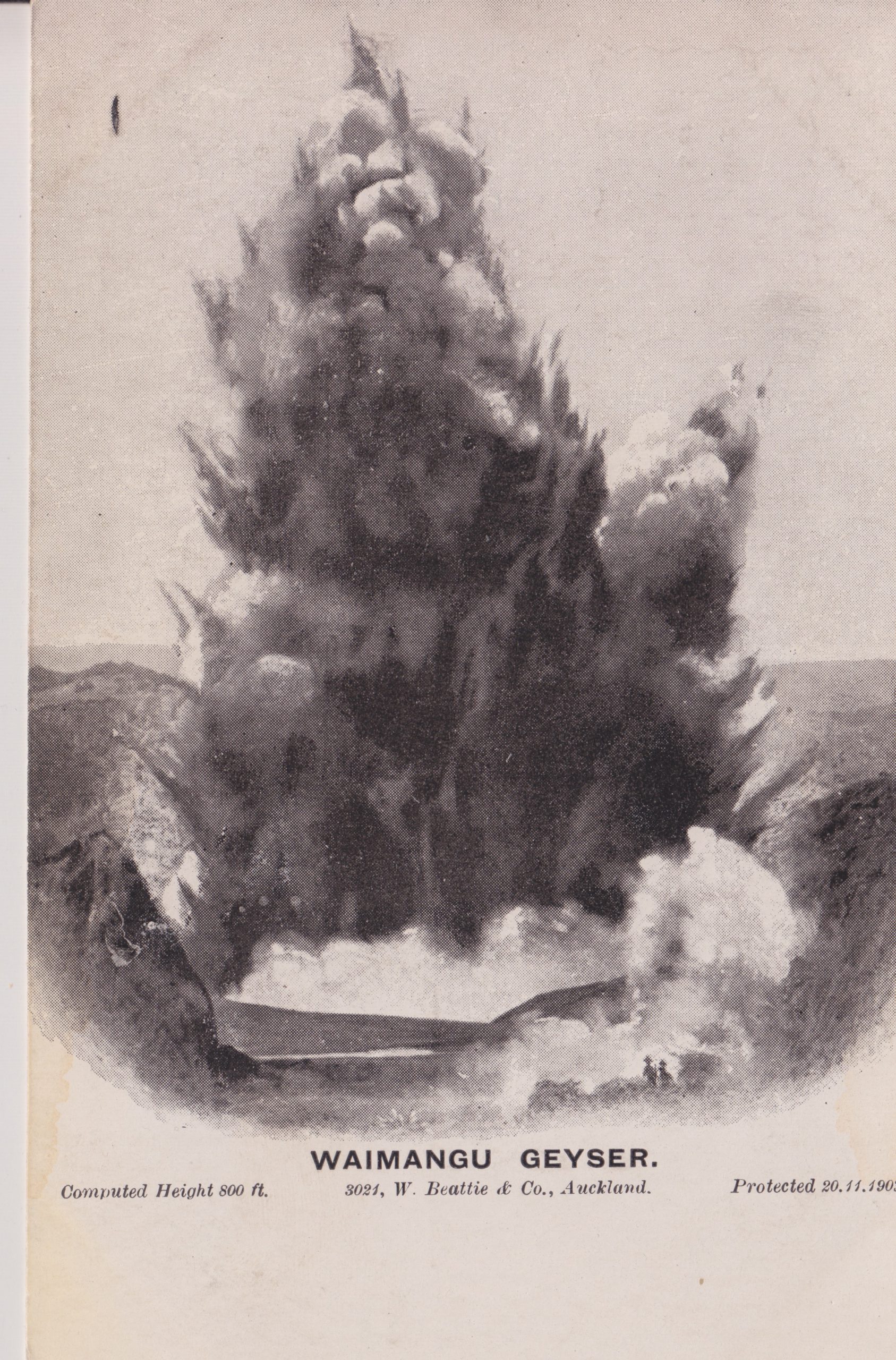
Waimangu Geyser, Waimangu Valley.
A view copyrighted 1902.
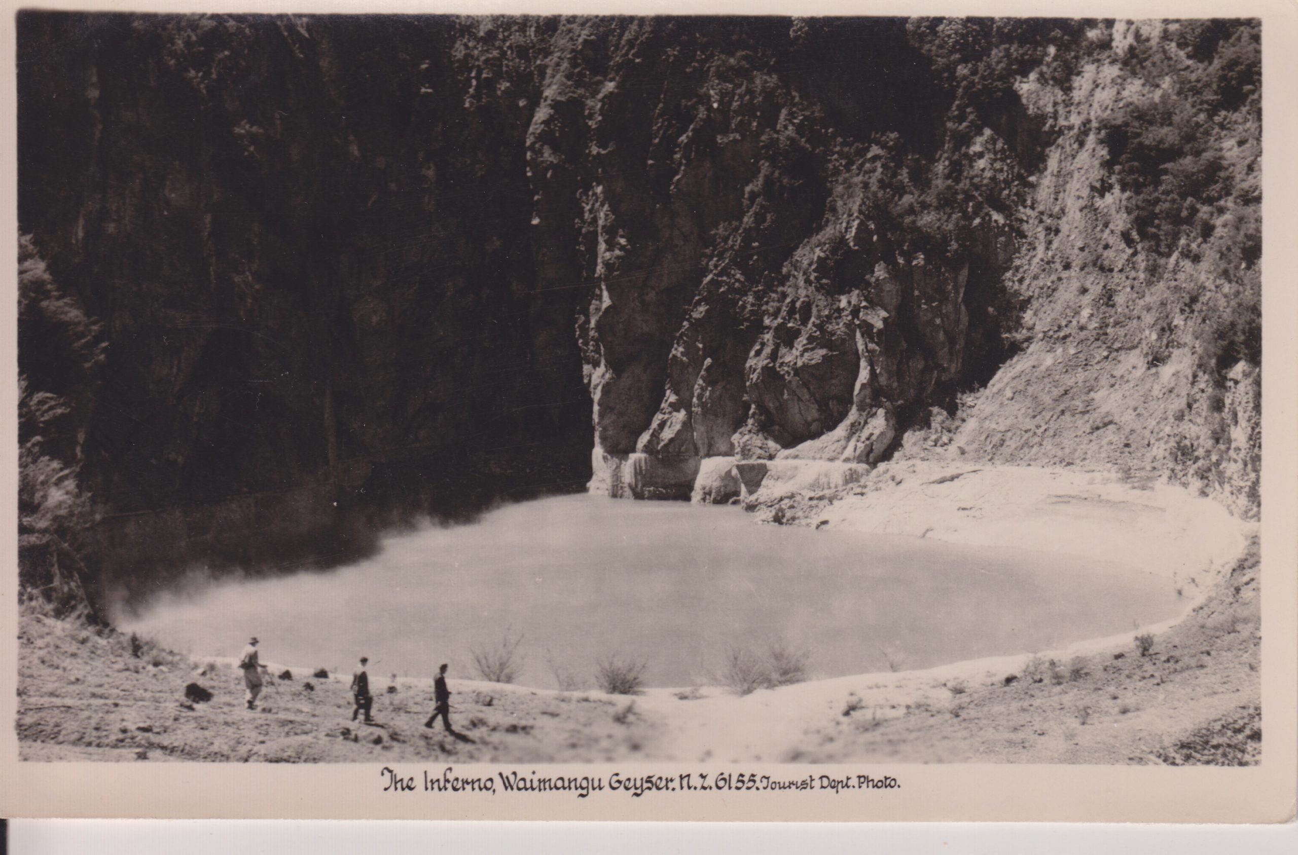
Inferno Crater, Waimangu Valley
This feature is located about 50 meters to the northeast of where Waimangu was located. It currently has an approximate 38 day cycle of rising to overflow for a few days, then falling. It is also now surrounded by much thicker vegetation.
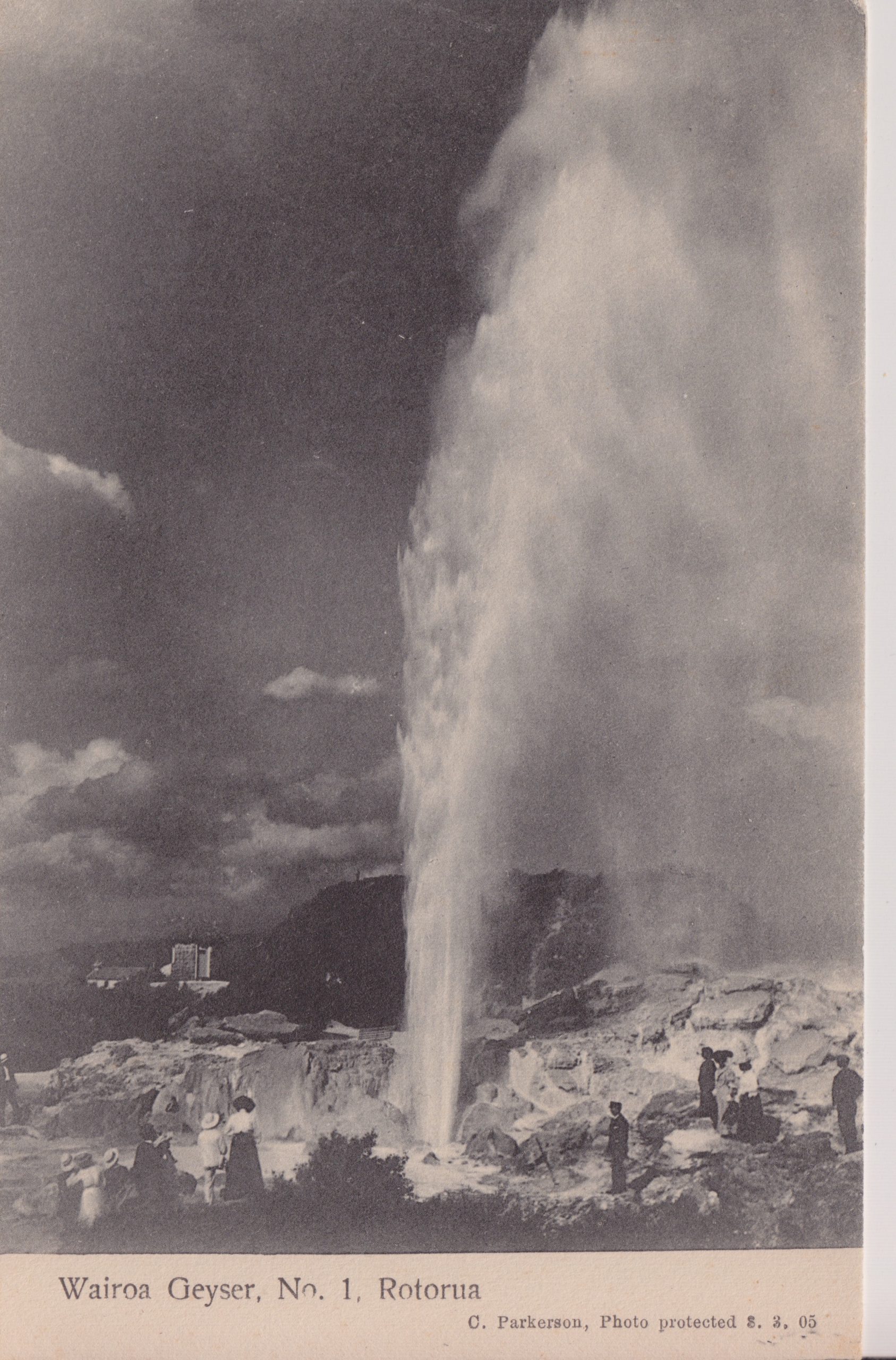
Wairoa Geyser, Whakarewarewa
This geyser has not been active in decades, but has at least shown signs of recovery since the shutdown of hot water wells in the area.
Wairoa Geyser and other features at Whakarewarewa
One of the features to the right is most likely Pohutu. There are several other features nearby, including Te Horu and Mahanga.
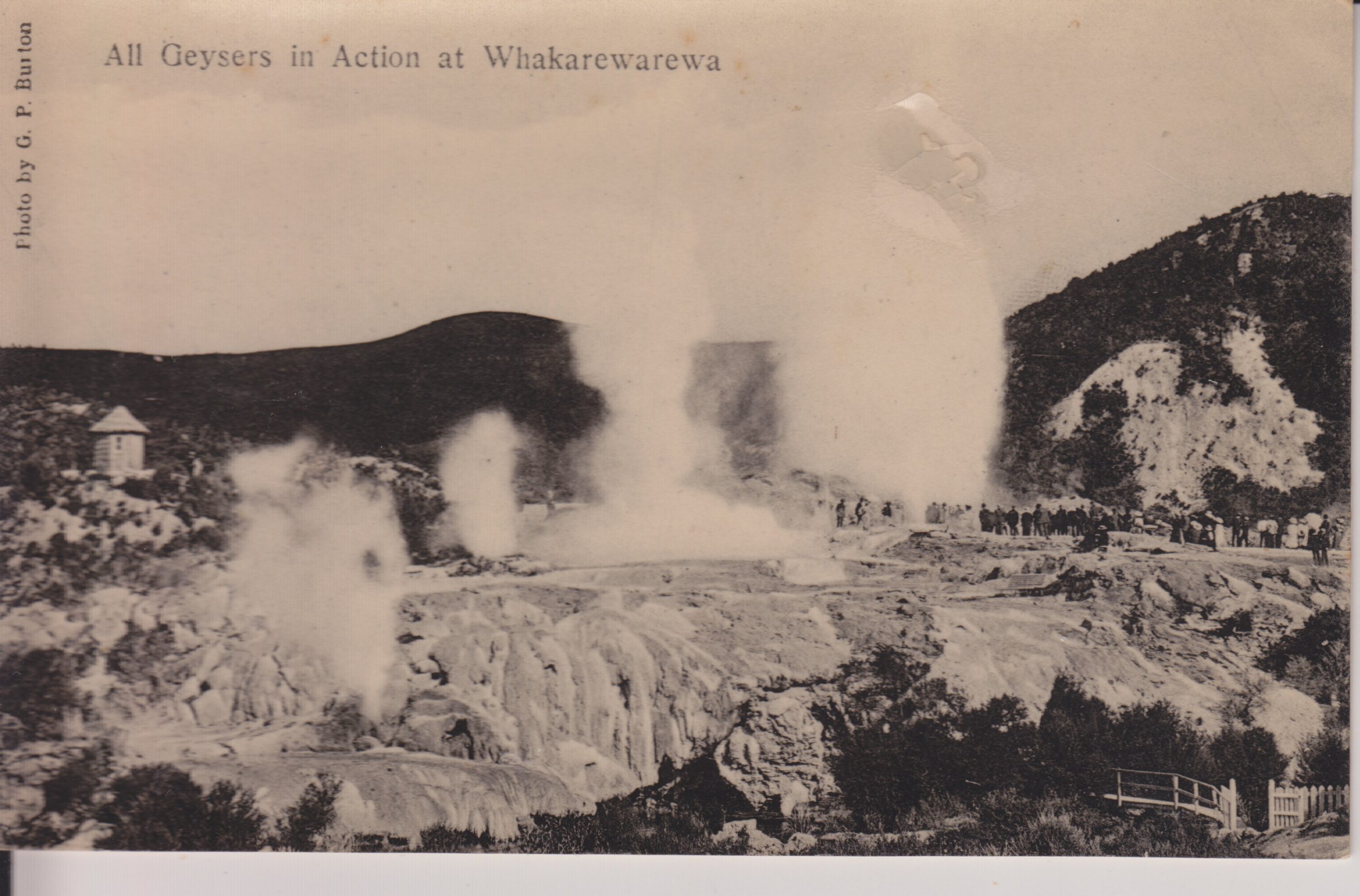
Geysers at Whakarewarewa.
From left to right, it looks like these are Kereru, Mahanga, Pohutu and Wairoa. The view is from the opposite direction of the preceding views, and now what one would first see upon entering through the gate. As with Inferno Crater, there is now a lot more vegetation in the area on the left.
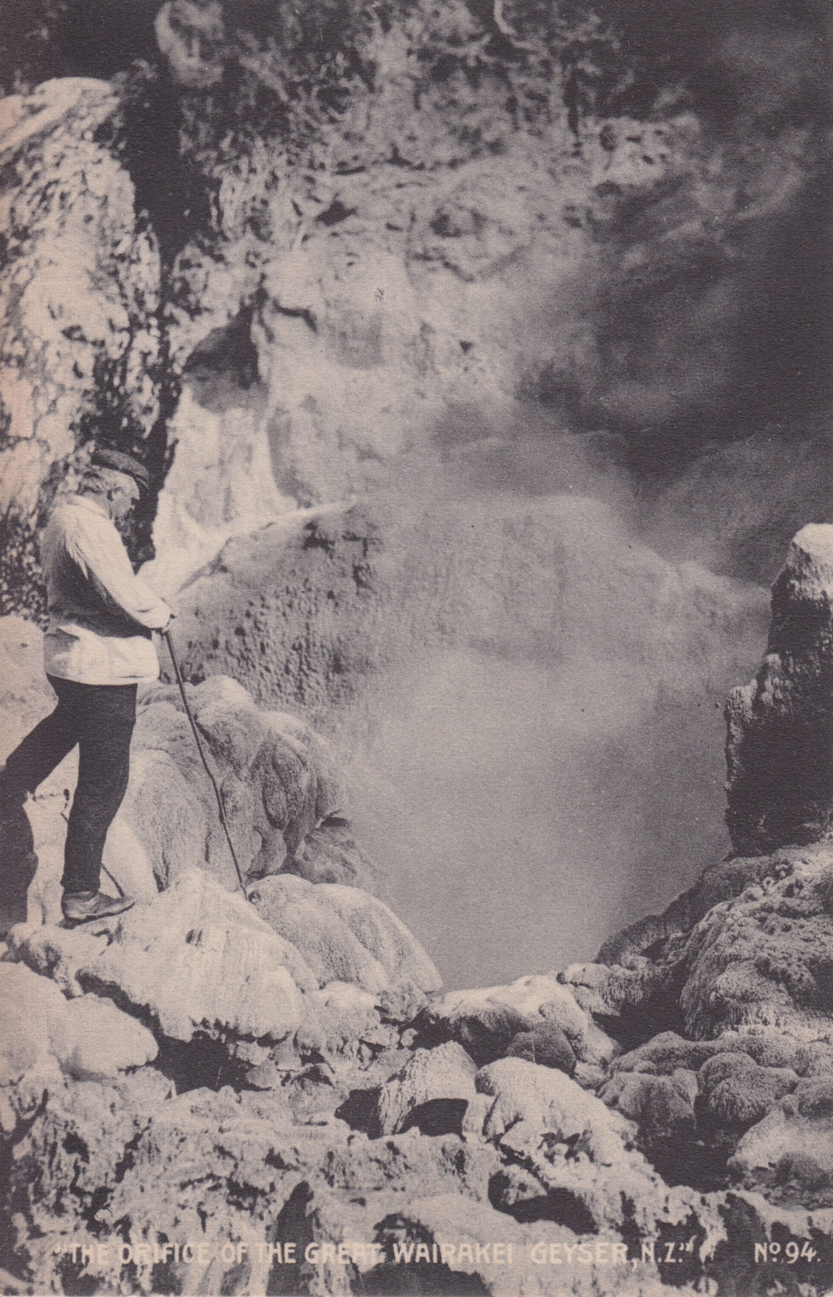
The orifice of the Great Wairakei Geyser, NZ
All of the dozens of geysers in the Geyser Valley at Wairakei were destroyed when the power plants started back in the 1950s and 1960s.
* The name translates to "The urine from [Chief] Homai-te-rangi" [Lloyd, Geology and Hot Springs of Orakeikorako, NZ Bulletin #85, pg.59]. We need more names like this in Yellowstone.
Its initial grand bursts, sometimes exceed 200 feet in height, and it erupts for about an hour and a half.
A much nicer photo taken in 1954, based on the ID number. Does not appear to be any activity from the platform vents.
Giant Geyser (Hamilton Stores, YNP) J-1
A spectacular giant located in the Upper Geyser Basin which erupts to height of 200 feet for durations ranging from 45 to 60 minutes. Shown here at the peak of one of her performances.
This is also a giant postcard, triple the area of a normal card. I remember buying it in the early 1980s at the Lower Hamilton's store.
Steamboat Geyser at Norris in YNP (D&G Enterprises, Emblem Wyo.) C-335 Photo by Robert Whitney
Ranks currently as Yellowstone's most powerful geyser. In function, it is a typical cone-type geyser with continuous action. The water phase lasts from 25 to 40 minutes and reaches a height of nearly 400 feet. Rocks are ejected during eruptions from inside the crater.
Surprising to find this. A nice view that is not the standard NPS view. The address of the publisher includes a ZIP code, so this must date from the late 1960s.
Fountain Geyser (Haynes Studios) 51K090
Fountain Geyser in the lower geyser Basin erupts 50 to 75 feet in heightm draining the pool in the foreground with each eruption.
Looks more like Morning Geyser to me. Again, based on the serial number this was taken in 1951.
A view of Round Geyser in eruption as seen from Geyser Hill, near Depression Geyser. I don't know who took this photo, or remember how I got a copy.
Next are three photos Mary Ann Moss took. Opal was a geyser that she saw several times over the years.
Opal Pool, 1979 Sept 13. Photo by M.A.MossCauliflower Geyser, 1983 Sept 22. Photo by M.A.Moss.Excelsior Geyser, 1983 Sept 15. Photo by M.A.Moss.
This eruption doesn't look all that big, but note the figure standing on the far overlook at the left. Also, the jet from the big boil is easily well above the rim.
Here's a series of photos showing some of the activity of Link Geyser and the Chain Lakes Group during the activity in October 1983. Over a period of five days, Mary Ann Moss, Marie Wolf and I got to see several dozen major eruptions. We missed much of the activity of the first day.
Mary Ann took these photos, and as you can see, it was cold, damp and gray that week, which made seeing the eruptions difficult at times, but it didn't snow or rain. For more details on the activity, see my article in one of the early GOSA Transactions. Think of this as a supplement to that article.
Runoff from Link Geyser eruption in Oct 1983. Photos by M.A.Moss.
Here's what we saw of one of the first eruptions we witnessed. A lot of steam coming from opaque water. The ruts produced by the runoff channel didn't get much deeper or wider over the next few days, which supports our conclusion that the first few eruptions that no one saw were even more voluminous and powerful than what we saw.
Link Geyser eruption, October 1983. Photo by M.A.Moss.
Here's one of the better photos, showing some of the details of the jets. I would estimate the height here at around 15 meters. We think we saw higher, more angled jets at times.
Link Geyser runoff, Oct. 1983. Photos by M.A.Moss.
A couple more views of the discharge from an eruption.
Next are a series of close-up views of the drained vents of the Chained Lakes.
Clasp Geyser vent, Oct. 1983. Photo by M.A.Moss.
North Chain Lake Geyser vent, Oct. 1983. Photo by M.A.Moss.
Vent between North and Middle Chain Lake Geysers, Oct. 1983. Photo by M.A.Moss.
Middle Chain Lake Geyser vent, Oct. 1983. Photo by M.A.Moss.
Bottomless Pit vent, Oct, 1983. Photo by M.A.Moss.
Link Geyser vent, Oct. 1983. Photo by M.A.Moss
Link Geyser vent, Oct. 1983. Photo by M.A.Moss
Eruption of Link Geyser, Oct. 1983. Photo by M.A.Moss.
Firehole River just after eruption of Link Geyser, Oct. 1983. Photo by M.A.Moss.
Aftermath of eruption of Link Geyser, Oct. 1983. Photo by M.A.Moss.
Note the debris washed onto the bike trail. We never saw an eruption put out enough water to reach that far, which again supports our assumption that the first eruptions were even larger.
And that's J.Randolph Railey watching the eruption.
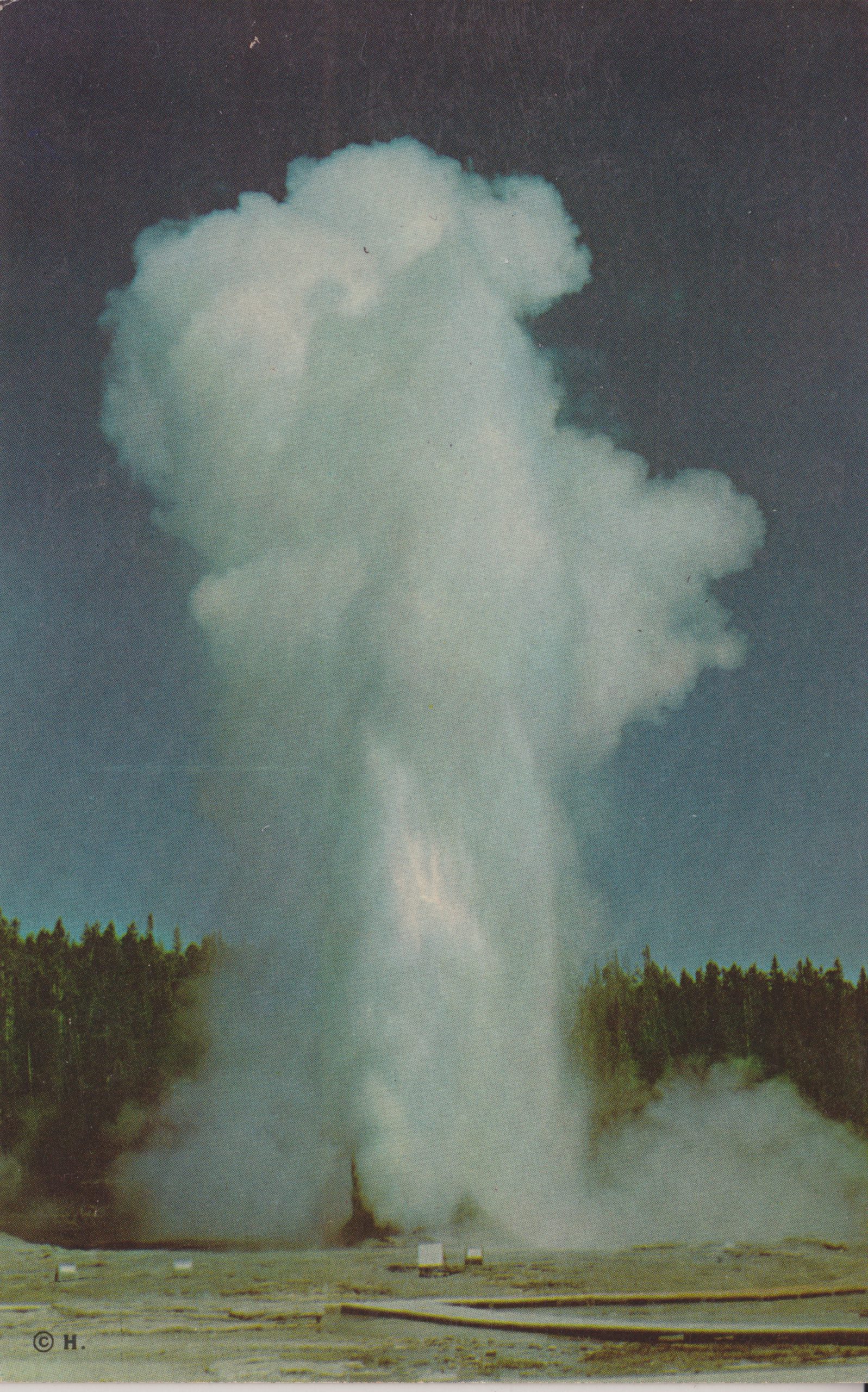
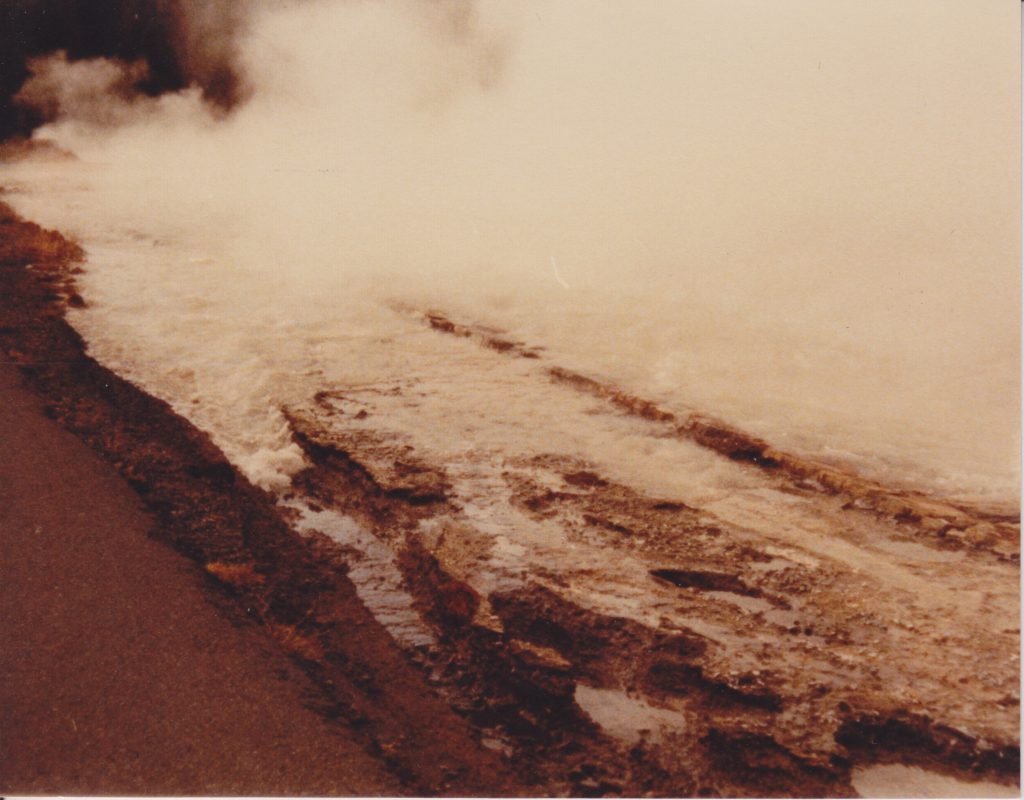
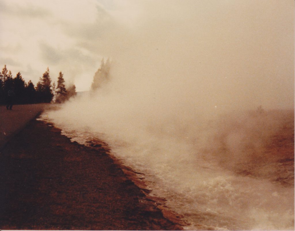
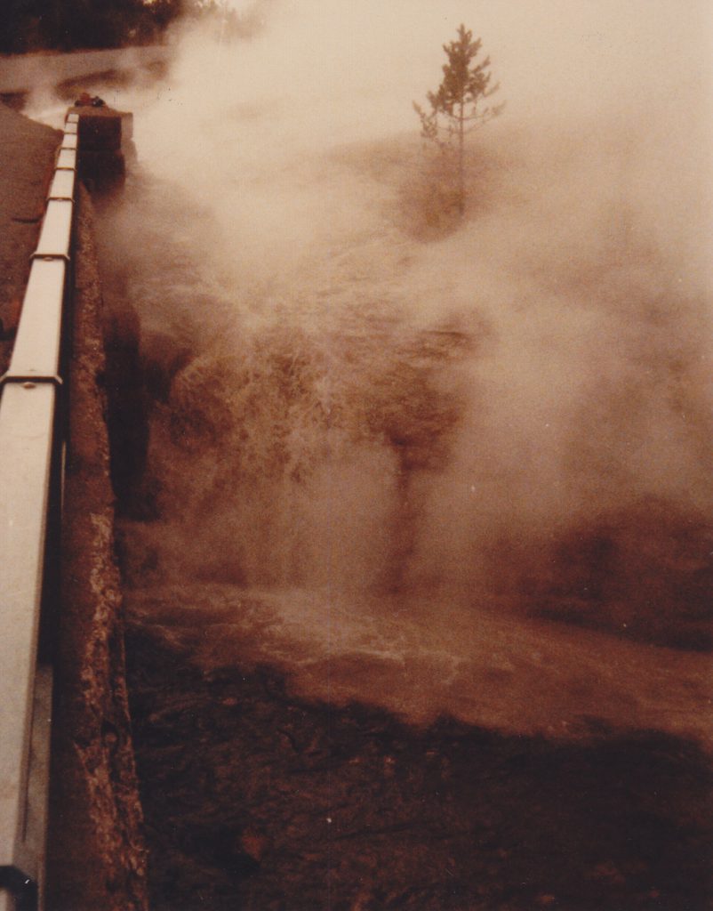
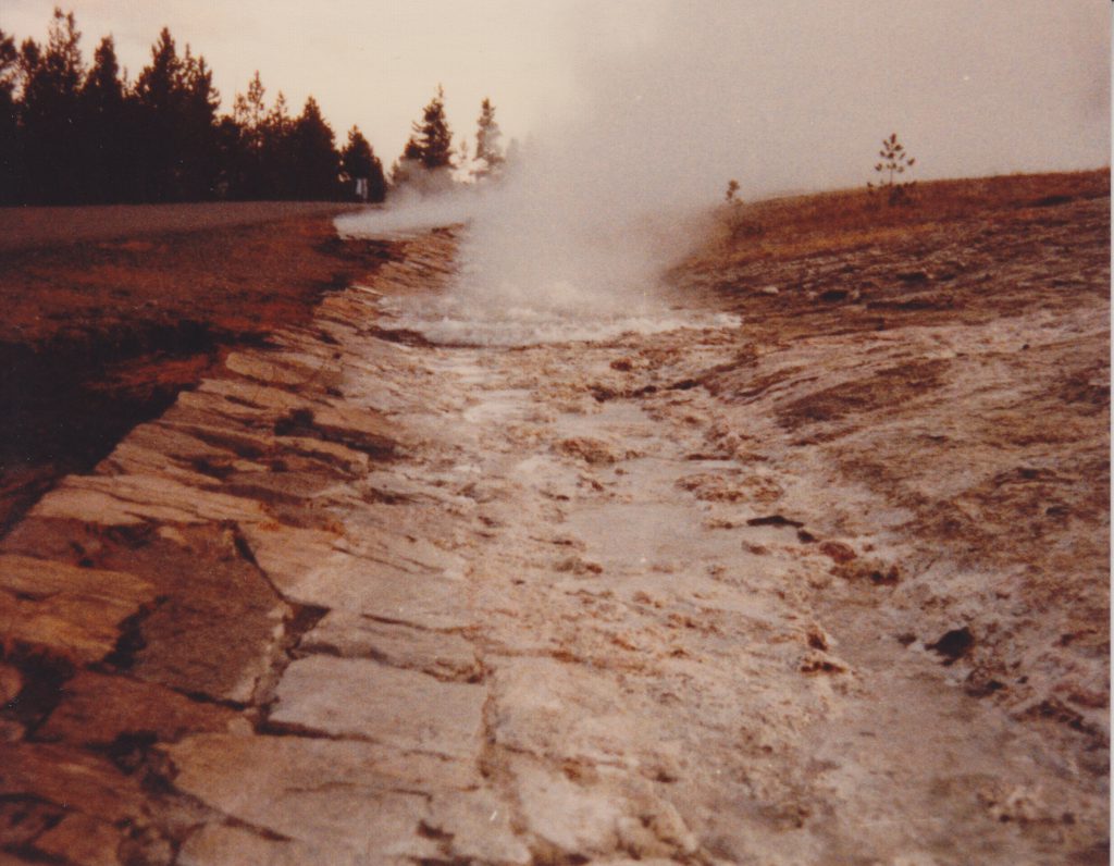
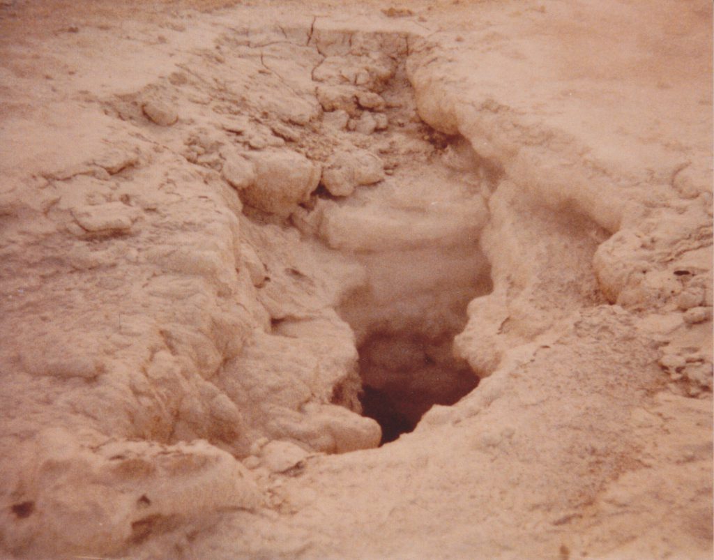
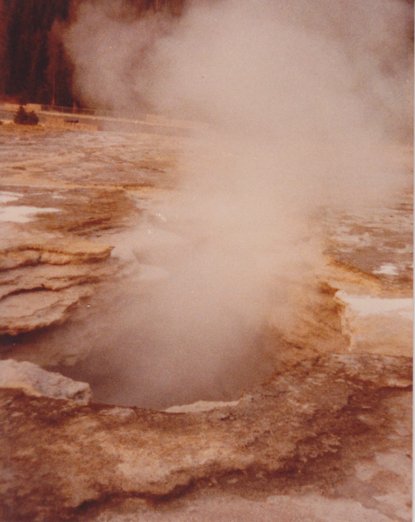
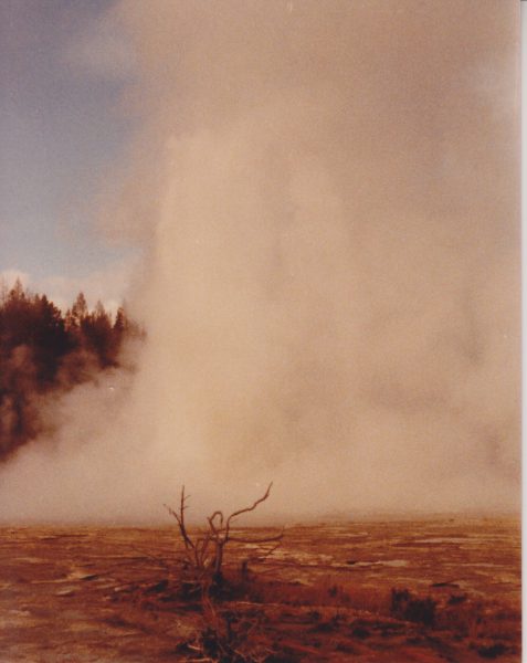
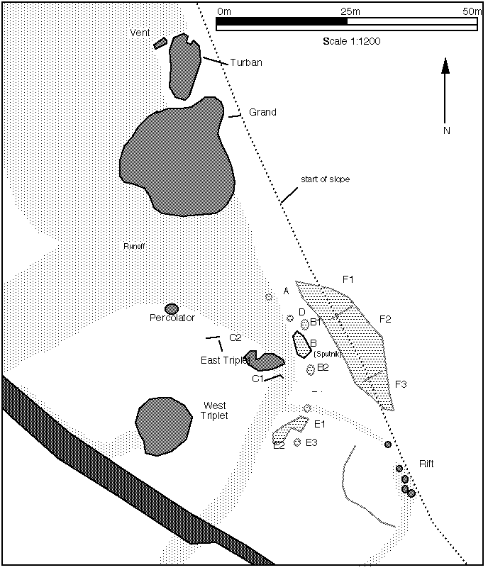
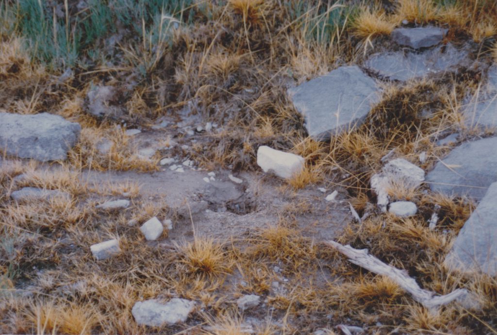
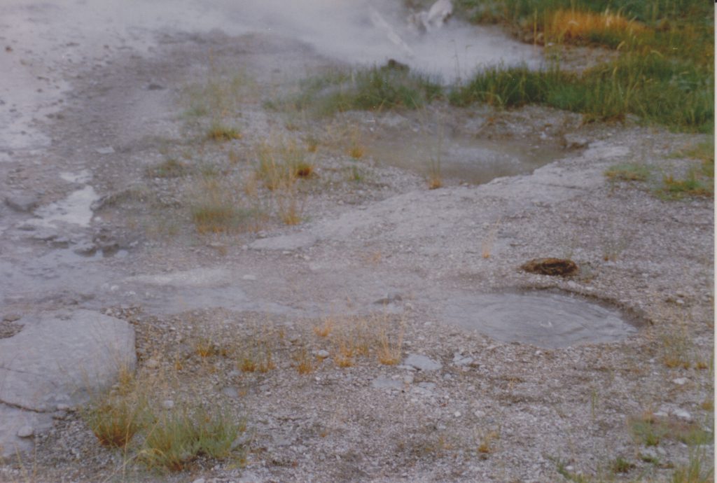
It appears that the locations and designations of the various sputs that have appeared in and around the old site of North Triplet are in need of further documentation. In going through some old files, I came across photos that Lynn Stephens took of that area in October 1989. While a lot of things there have changed since then, this does give a good record of what was happening there, and how it relates to current activity.
Sketch map of Grand's Sputs area. From 1989.
The map comes from my original GOSA Transactions article on the area, and is still a good guide. The only major difference is the disappearance of East Triplet, and the associated Sput-Cs near it.
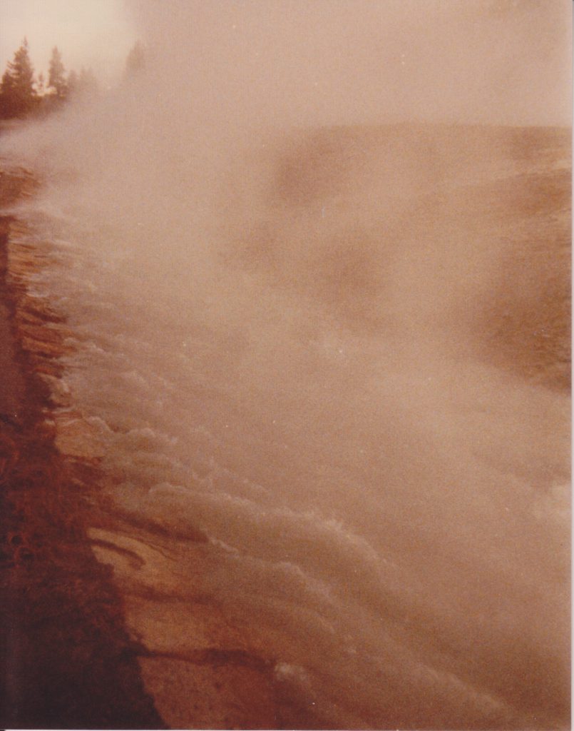
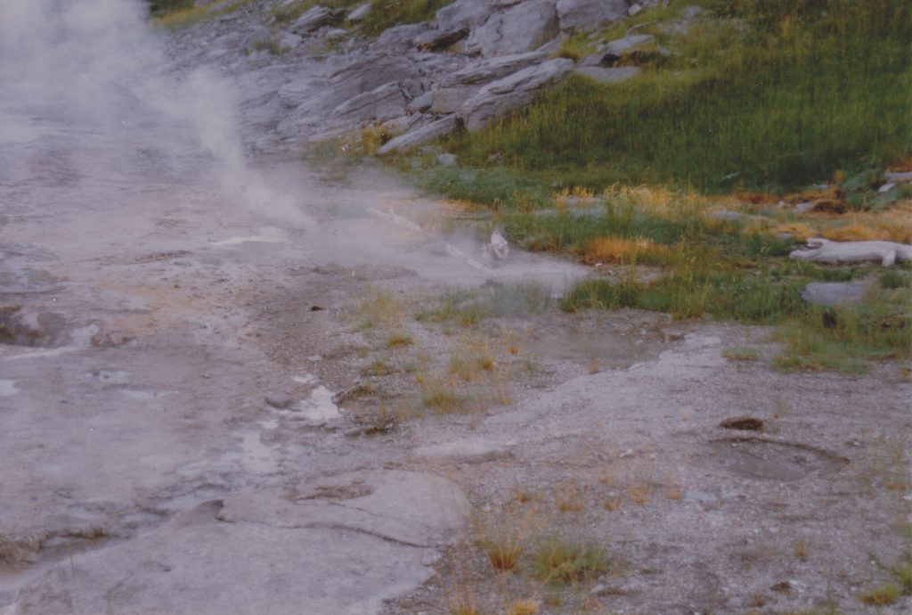
Sputs overview, Oct 1989. Photo by L.Stephens.
In the center of this photo, with a downed branch beside it, is Sputnik, or Sput-B. To the left, the plume of steam, is Delta, or Sput-D. In the foreground are several frying pans constituting Sput-E, which are no longer active, but the area is still devoid of vegetation.
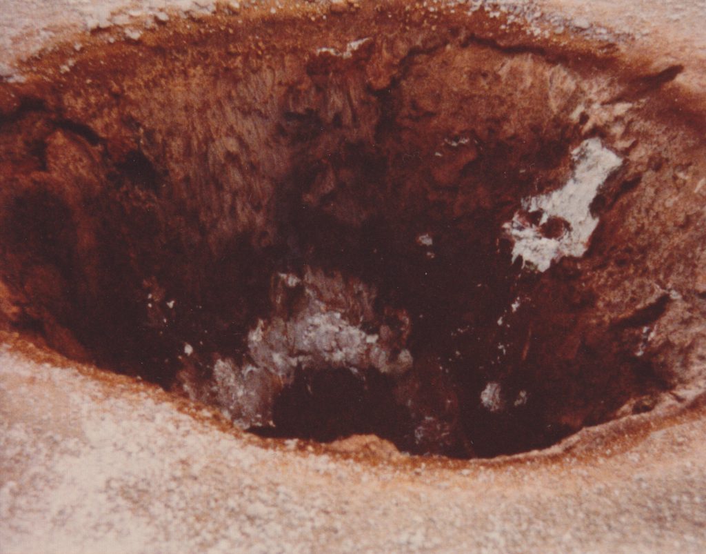
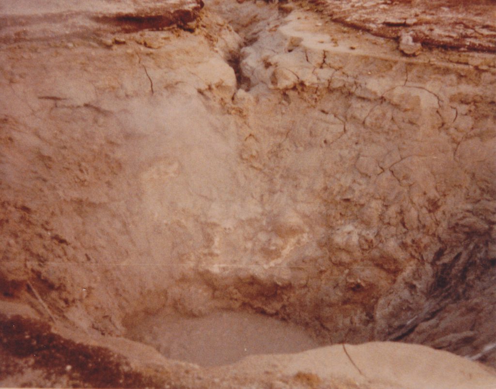
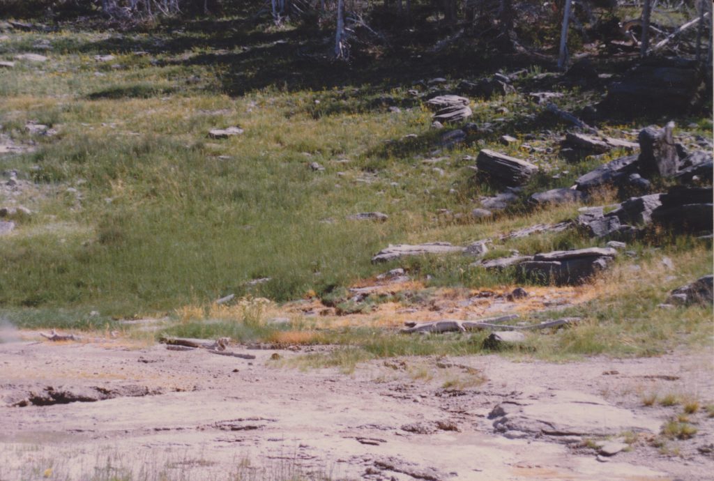
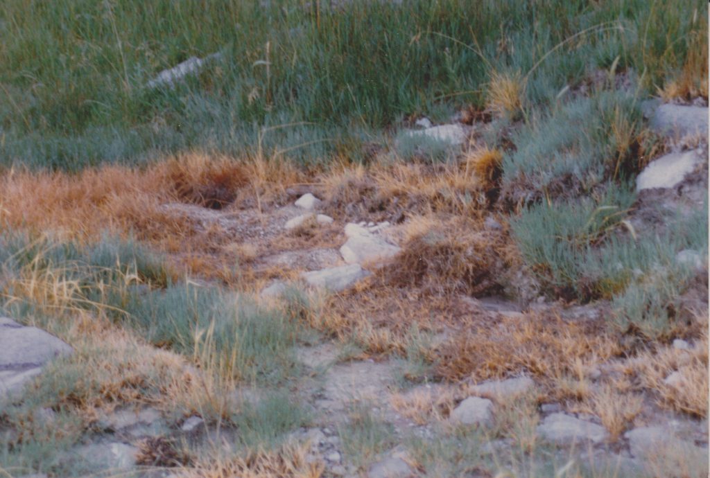
Sputs-F, Sputnik and East Triplet. Photo by L.Stephens.
On the left edge of the photo the rim of East Triplet's vent can be made out. Above and to the right, beside the downed log is Sputnik. The large brown area of dead grass is Sput-F. Eventually, three areas of activity became more pronounced and were given sub-designations.
Sput-F. Photo by L.Stephens.Sput-F3. Photo by L.Stephens.Sput-F1 and Sput-F2. Photo by L.Stephens.Sput-B1. Photo by L.Stephens.Sputnik (Sput-B), 1989 Sep 17. Photo by L.Stephens.
Sputnik also developed some satellite vents, one on each side. Over the years the craters have been filled and cleared out, so which is which is probably not possible to determine any more.
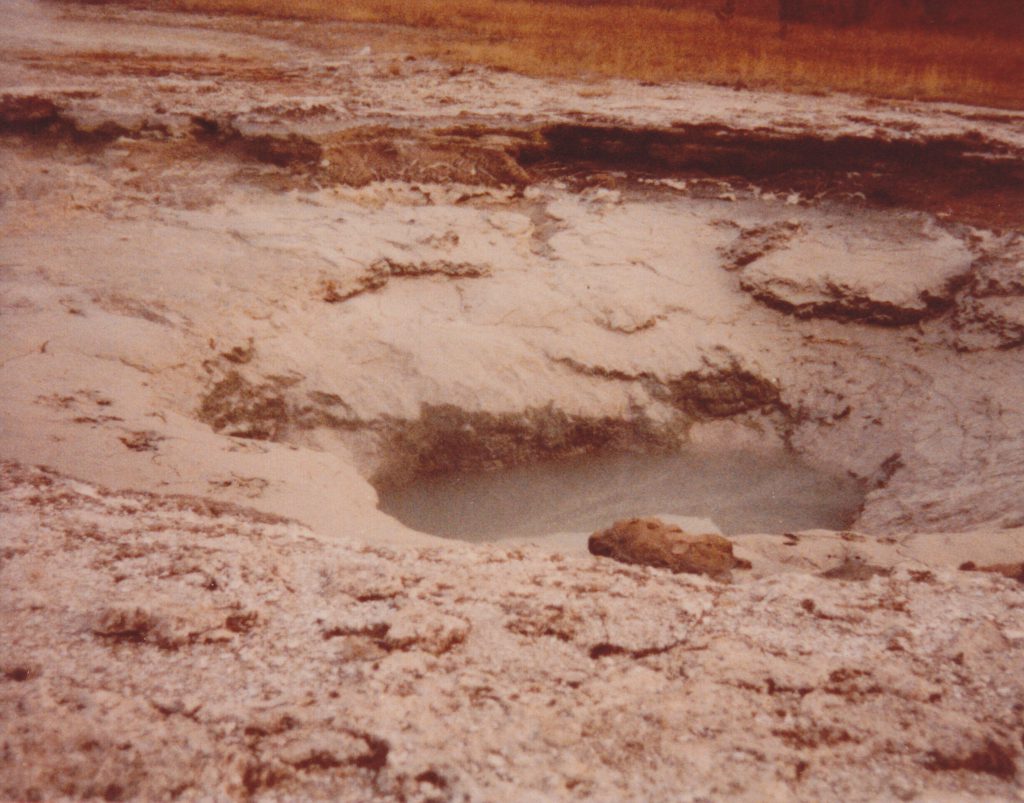
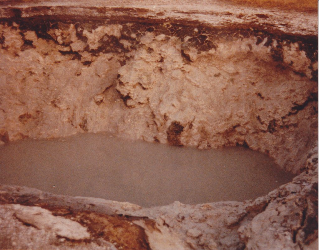
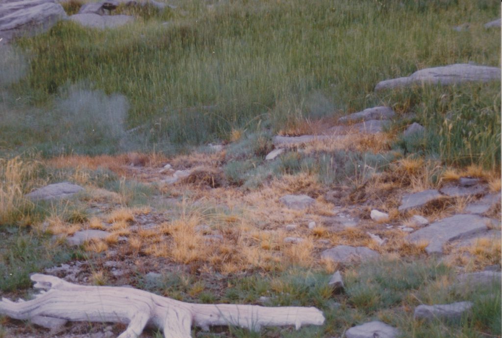
Sput-E1 and Sput-B2. Photo by L.Stephens.
In the foreground is the wet frying pan at the north end of Sput-E. Behind it, in the middle of the photo is Sput-B2, while Sputnik itself is near the top of the photo.
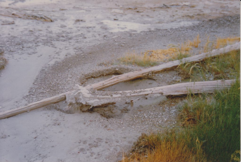
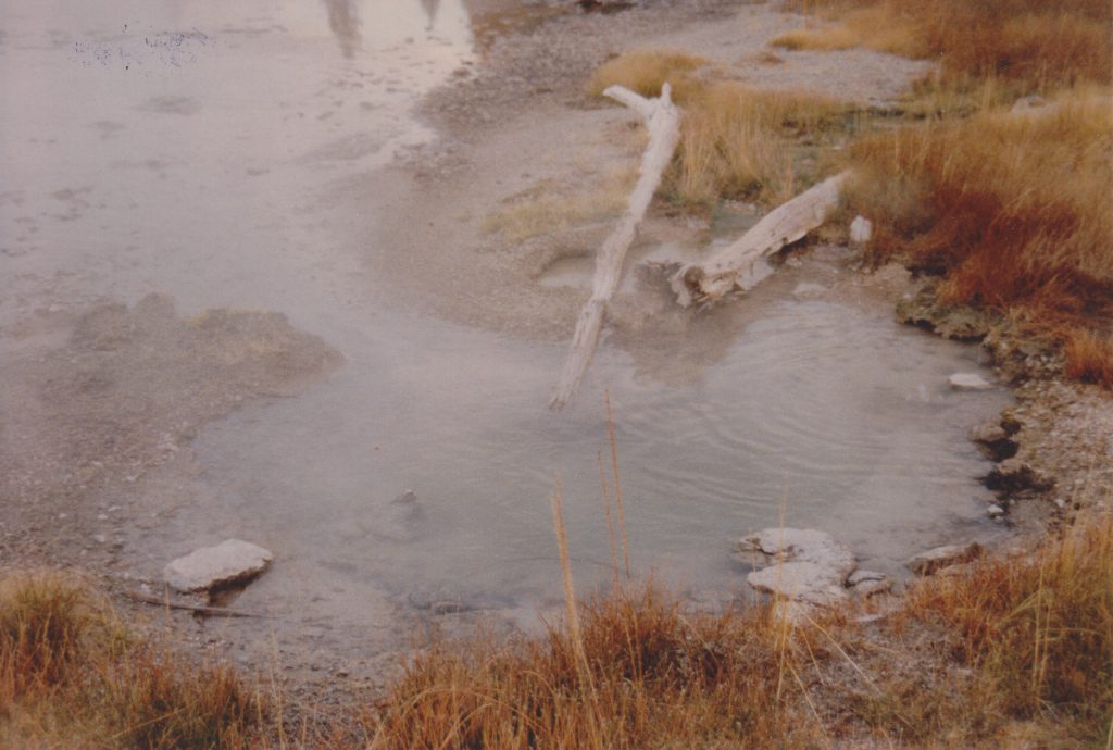
Note that at this time, Sput-D was a small hole which steamed heavily. Over the years it enlarged itself.
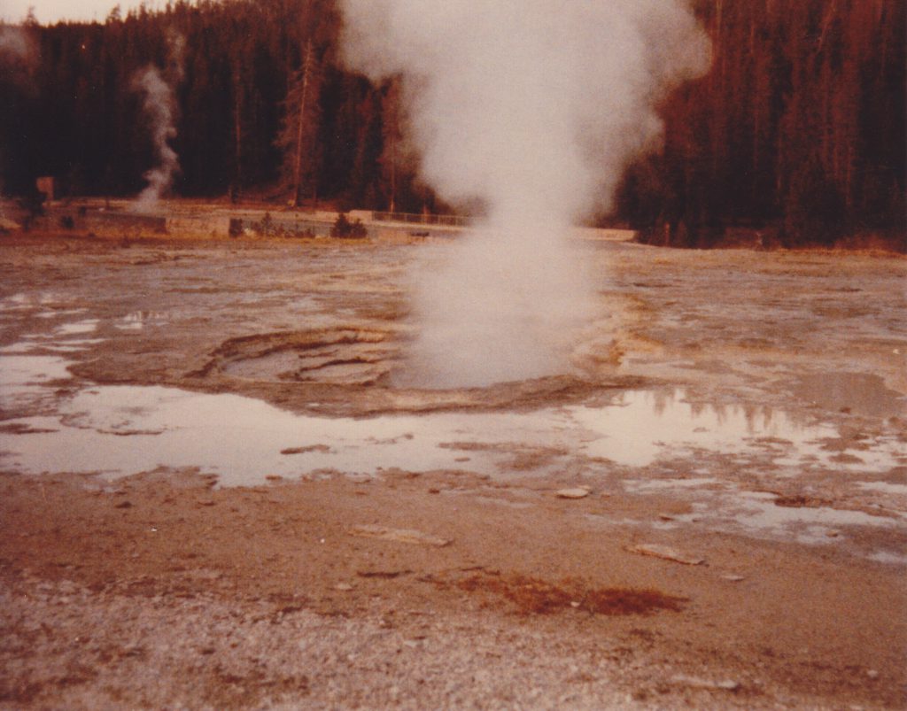
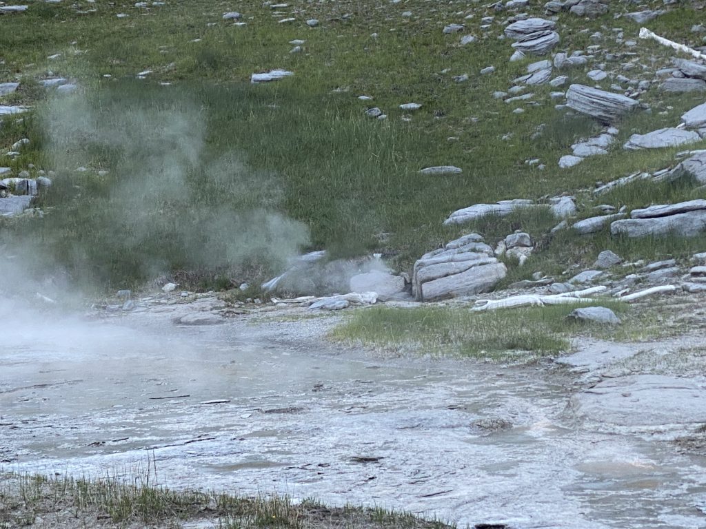
Grand Sputs in 2020. Photo by H.Koenig
The photo I took last year isn't from up close, but one can still see the are of Sput-F is still active, and the grass there hasn't recovered. Finally, here is a short video showing the area with everything that was active in June 2020.
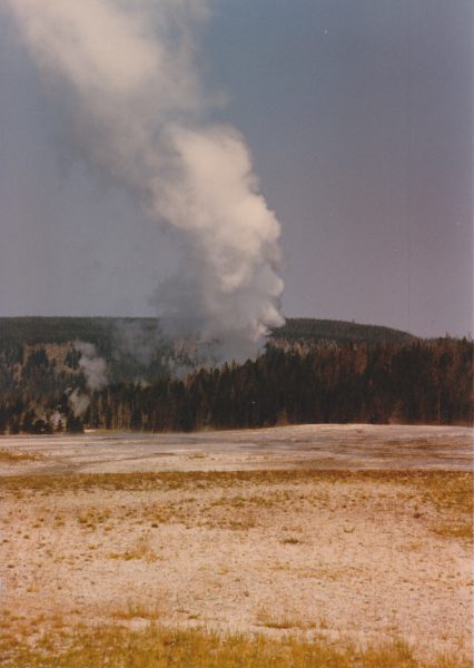
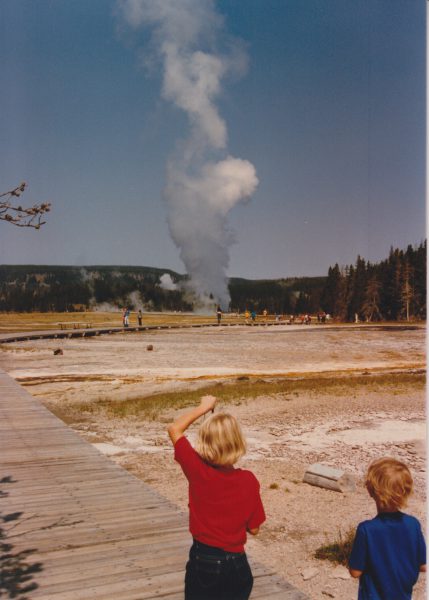
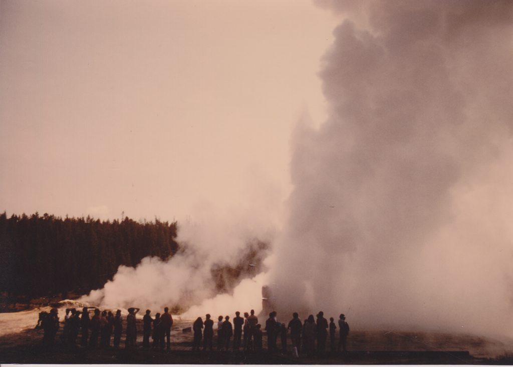
I was digging around in my files, looking for something else, and I came across this copy of a letter I sent to a friend two days after Giant Geyser erupted in 1986. Since I wrote it while the memories were fresh, I figure it might be interesting. The photos posted here were taken by George Strasser (Paul's brother), who not only had a camera, but remembered to use it.
On 20 August at 1136, Giant erupted. I was at Daisy for the start, and had just passed Giant five minutes earlier. At that time, it looked like it has all summer, fairly dead. So I get to Daisy, see that Splendid's markers are in place (it had four eruptions the next day), and start to unload my pack. Then I looked over at Daisy, and saw this huge steam cloud rise above the trees.
View from Old Faithful Lodge
Paul Strasser, John Railey and I have been using CB radios to keep in touch. They have been useful, but this time they paid for themselves. I grabbed the radio as I was running down the boardwalk and yelled into it, "Paul, something's erupting in the Giant Group!" He had just turned his on, and heard the "erupting in the Giant Group" part from the Lodge Cabins. He and Suzanne were down there in twelve minutes. Several other people saw the steamcloud from the VC, Lower Ham's store, or from Fantail (Biscuit Basin) and assumed either Grand or Oblong. They didn't see it.
[Paul and Suzanne were about to head out with the family of his brother George, "to look for animals", when the call came. The family was abandoned, allowing George to walk out on his own. Fortunately, he took the only series of photos of this eruption that I know about.]
Talked with some people there at the start, and they said that the sputs started maybe 30 seconds before Giant, and Mastiff was erupting only three to four feet high, but overflowing. When it started, Giant sent out a wall of water, running over the south end of the "T" boardwalk. They were afraid of scalded feet.
As I ran around the trees, I could see the water column still climbing. Mastiff was steaming and splashing heavily, while Catfish was sending a thin angled spray to 25 feet. Bijou was steaming only, and the others quickly followed. I took a short cut, and was quite pleased with events.
Giant was now near maximum height, which I estimated [measured?] to be between 150 and 180 feet (~165'). Two night before Sam Martinez and I were going to lay out a baseline, but decided not to since we would never get a chance to use it. [I think I told Sam: "It'll get stolen before we can use it."] The water column was thick, a lot like Ol' Filthy in that sense only. It also pulses, like Beehive, so it doesn't stay at max height, but drops to about 80', then surges back up. The water seemed clear, and the weather was excellent. Clear sky, dead calm but a bit humid. Paul said the steam cloud had to be several thousand feet high. Earlier that day was a thick fog, and later it rained.
By the time Paul and Suzanne arrived, surges were still in the 120' range, but the power had definitely diminished, Originally the water column appeared vertical, now it began to angle to the west slightly. It also sent spray toward the boardwalk. But on the whole, it looked exactly like the old photos.
A half hour later, Giant was still hitting 50', but there was little runoff. By now several sputs were erupting on the platform. They looked like little Uncertains, but only ~4' high. They also surged at the same time as Giant.
By 1227, Giant was mostly steam, and all steam by 1236. Grotto was not erupting all this time.
Note wet boardwalk.
This was a strange eruption for coincidences. Not just Sam and I at the baseline. The day before at Splendid (no eruptions) T.Scott commented that he didn't have his camera, and if Giant erupted, he would kill himself.
South Purple pool had had several heavy surges of water earlier this year, and now was down below overflow. Later Grotto had some sort of steam phase, or minor eruption. The sputs between it and Rocket were erupting, but Rocket and Grotto made lots of noise and occasionally splashed. The next "real" Grotto [eruption] did not have an eruption of Grotto Fountain [preceding it].
Oblong has been weird this year, with intervals from 32 minutes(!) to 24 hours. Most intervals seem to tend toward 20 hours. Now it had three eruptions in a three hour period, with one interval of 37 minutes. These closing eruptions of a short interval are strange. The water is ejected from an empty pool, and some jets [from the north side] reach the river. They area also very noisy.
It took Bijou about 24 hours to recover, but the next day, the group looked as good, if not better, than it had all year. Now I'm hoping for an interval of less than a year. Say this coming March.
That night, we measured out the distance markers for Giant. Holding one end of the tape over Giant's vent, knowing that it couldn't erupt, was a scary experience.
In the previous thirty years, there had been only four known eruptions of Giant— in 1963, 1978, 1982 and 1984. It's been twenty four years since the last known eruption of Splendid...
Splendid was active then, and the best way to catch a series was to immediately notice when one started. Daisy was erupting nice and regular, about every 75 to 80 minutes (excluding wind effects). The initial eruption of Splendid would take place shortly before Daisy was expected, so if you didn't see an eruption at the predicted time, it was time to make a quick bike ride out to see what was going on. So every hour or so, I'd ride my bike over from The Box to the fence that ran along the walkway west of the Lodge. If I didn't see Daisy after about ten minutes or so, I'd head on down basin.
On 06 Aug 1987, around 10:30, I did my usual ride up, and saw a plume of water over on Geyser Hill. It wasn't Lion, and at first I thought I was seeing a North Goggles major. Then I realized that the water column was to the left of Lion, on the wrong side. I had no idea if it was Big Cub, or Lioness, so I got on my bike and went on around the circle to get a better look at Geyser Hill.
As I approached the Visitor Center, I saw Jim Lenertz and Rick Hutchinson looking over there with binoculars. They too had noticed the activity, and wanted to get a better view and to figure out which geyser it was.
It was Big Cub, and fortunately, Phil Landis, who was working as Rick's assistant, was on Geyser Hill near Teakettle, and was able to take this photo. (I don't know how to contact Phil for explicit permission. But it is, as far as I know, one of the few, if not the only, photo of Big Cub in eruption.) We watched the activity for at least 3-1/2 minutes, and I would estimate the height was from 10 to 12 meters. Note also that Little Cub was also in eruption.
Afterwards, Rick went over to checkout the platform there, to see if there were any other changes (or signs of manipulation). I tagged along. Everything looked normal, and if we hadn't actually seen the eruption, we wouldn't have seen any evidence of an eruption. (Other than it was a bit wetter down wind of Big Cub, but that dried quickly). The one interesting thing is that the vent has a little side hole in it. A small jet of water coming from it can be seen in the photo on the left.
And I did see Daisy a few minutes later, so no Splendid activity that day. Or for the next few weeks. But I did see Giant about a month later.
Update: I've been told that Phil took the photo as part of his official duties working for Rick, so it's in the public domain. And that Phil died of cancer a few years back.
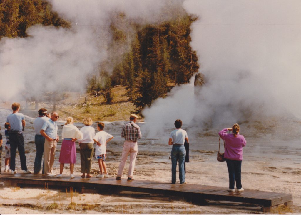
M.A.Bellingham recently came across a photo in which I am "figure". Here's what I remember of that visit, which, after 35 years, may not be accurate.
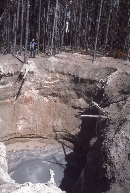
Blowout pit west of Norris. Photo by R.A.Hutchinson, 1986.
Over the winter in 1986, probably in February, a snowcoach driver reported seeing a huge steamcloud off to the west of Norris. By July, someone had visited the area, and reported that there was at least one new, deep crater there, which had uprooted trees in what appeared to be a non-thermal area.
On 31 Jul 1986, Rick Hutchinson went out to investigate, and I tagged along. He parked at the large turnout in Elk Park, southwest of Norris. We forded the river and headed off to the north. The meadow area was pretty dry, so we didn't need to deal with marshy areas. We then we headed through the trees. Rick pointed out at one point that we were passing through a very old sinter shield area. For some old trees that had fallen over, and the white sinter among the roots was obvious.
As we approached the blowout crater, we went along a creek. For about 50 meters (or more), there were a series of frying pans in the bed of the creek. I don't remember if we were headed upstream or down. The blowout was near the creek.
Rick knew what to expect, as part of the gear he had brought out was a rope for rappelling into the crater so he could take samples of the water and soil and rocks. I told him that I didn't know how to help him if he got in trouble, but he said that there shouldn't be any problem. He also brought a small saw, in order to cut one of the tree trunks that had been snapped off and then count the rings, and get an idea of how long it had been since there had been thermal activity there.
So while Rick was down in the crater, I picked a nice sized tree and cut off the section. We counted 75 rings on a tree that had been alive when the eruption happened. I'm not sure what sort of things Rick collected, but he never needed my assistance while down in the pit.
As for a name, at the time I thought that "Sizzling Creek" would be a nice, bland, almost generic name that still was descriptive of a memorable feature of the area.
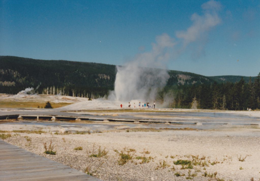
While preparing for another attempt at visiting the thermal areas of New Zealand and Iceland, as well as the western U.S., it occurred to me that it shouldn't be too difficult to compare the sizes of the various area. In The Transactions Vol. 7, T.Scott Bryan does a comparison of the size of some thermal areas. He just presents some basic line drawings, while I figured I could download satellite maps set to the same scale, which would give a lot more details.
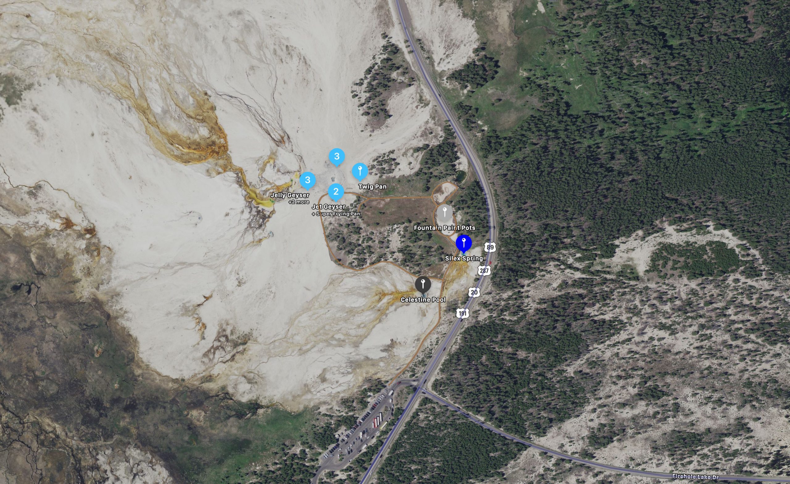
The two areas I couldn't include completely are the Upper and Lower Geyser Basins. They are huge compared to everywhere else. Instead I limited them to Geyser Hill/Old Faithful areas and the Fountain Paint Pots. The only other thermal area presented here that doesn't quite fit is Waimangu, where I wasn't able to include the lakeside thermal area.
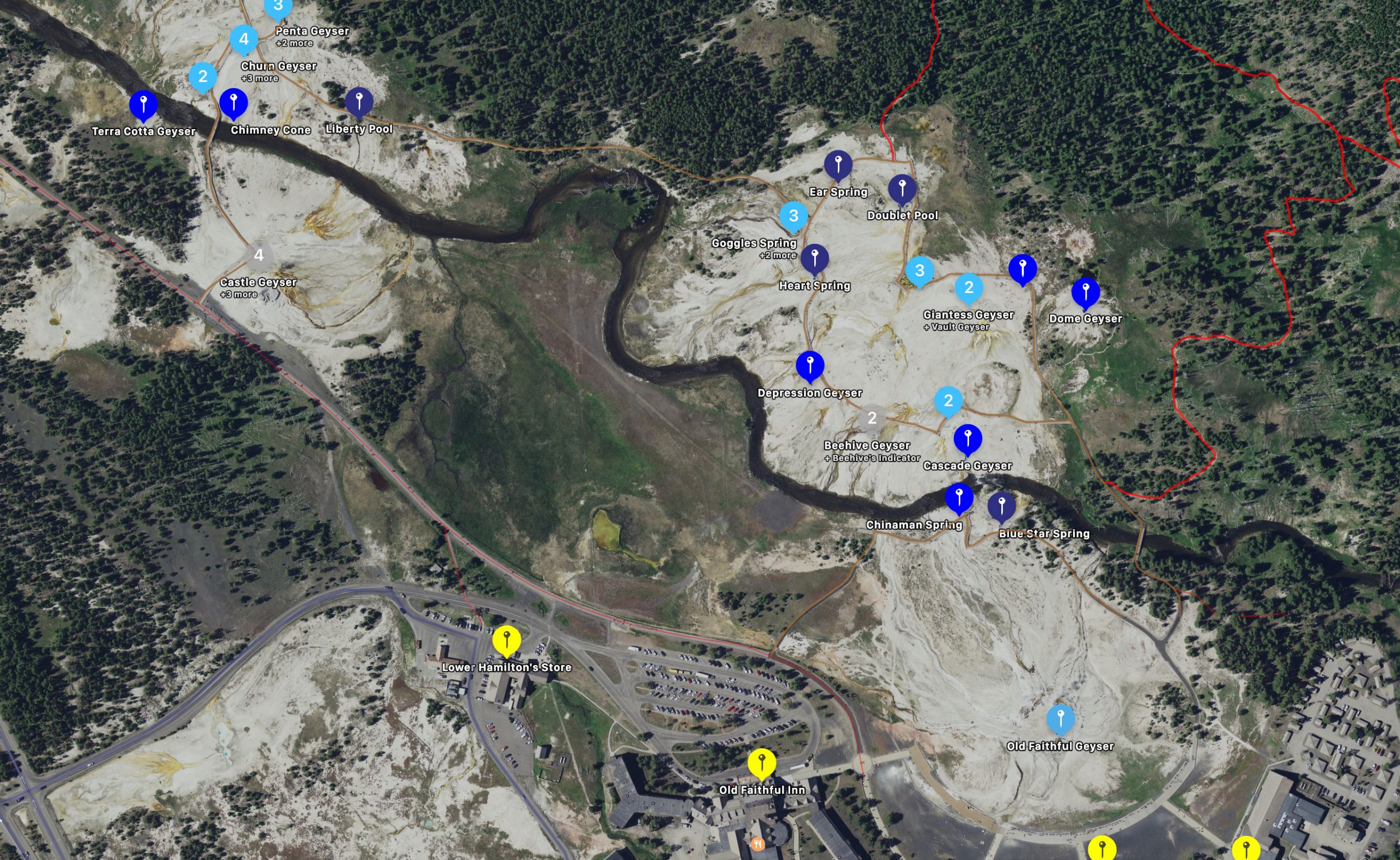
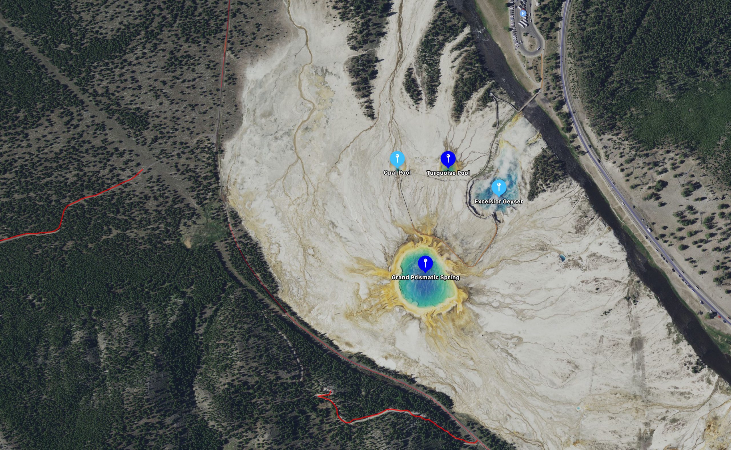
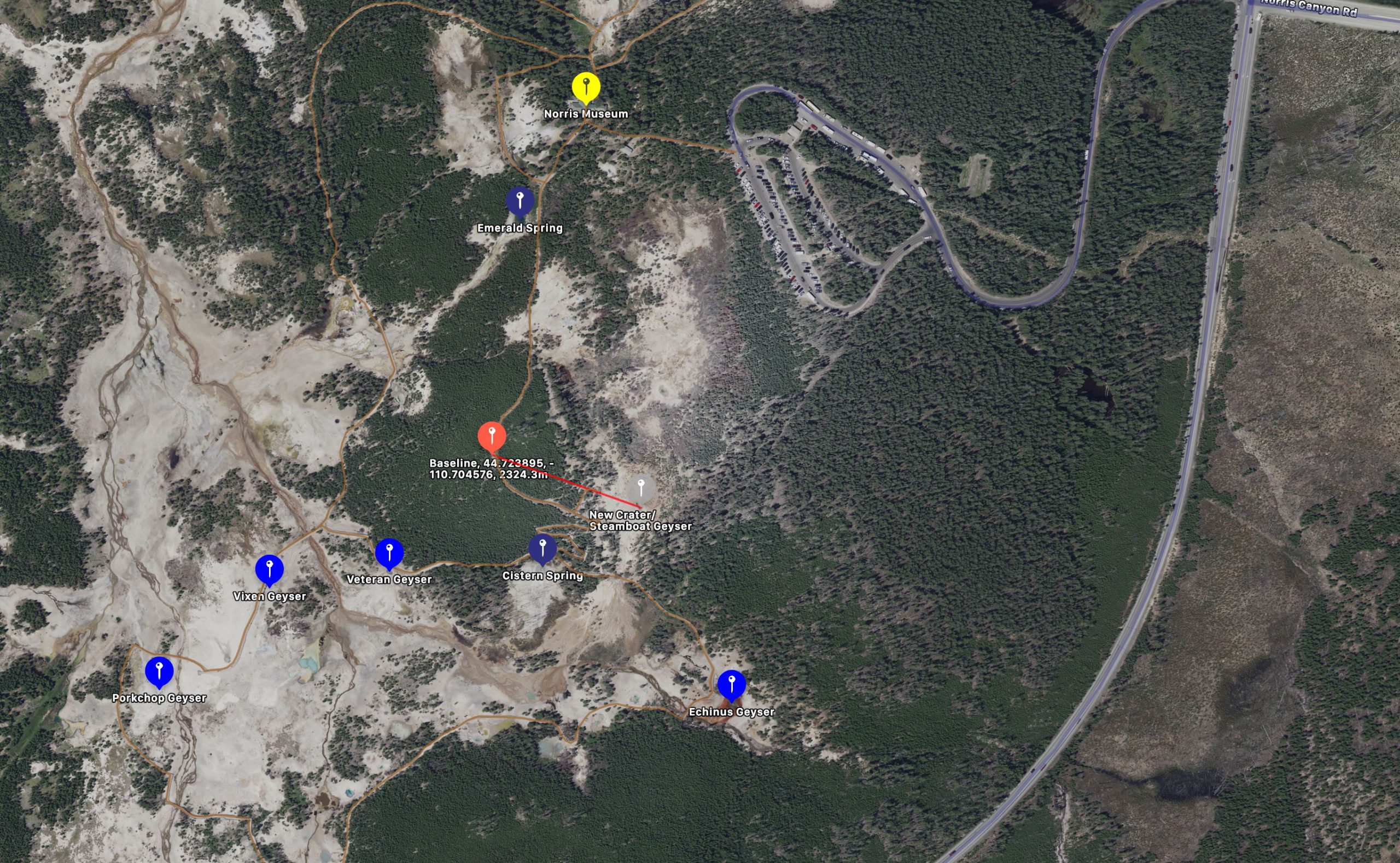
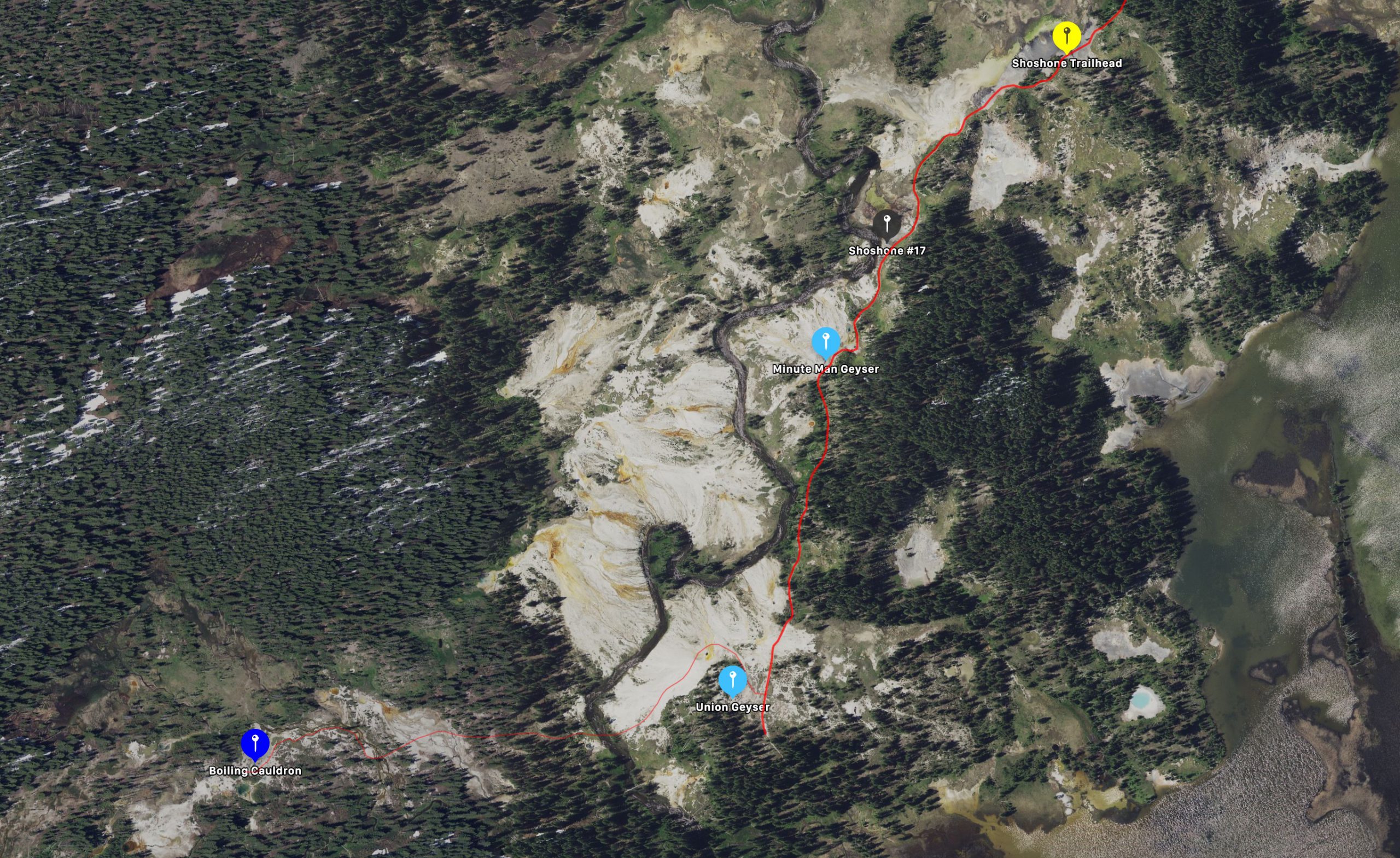
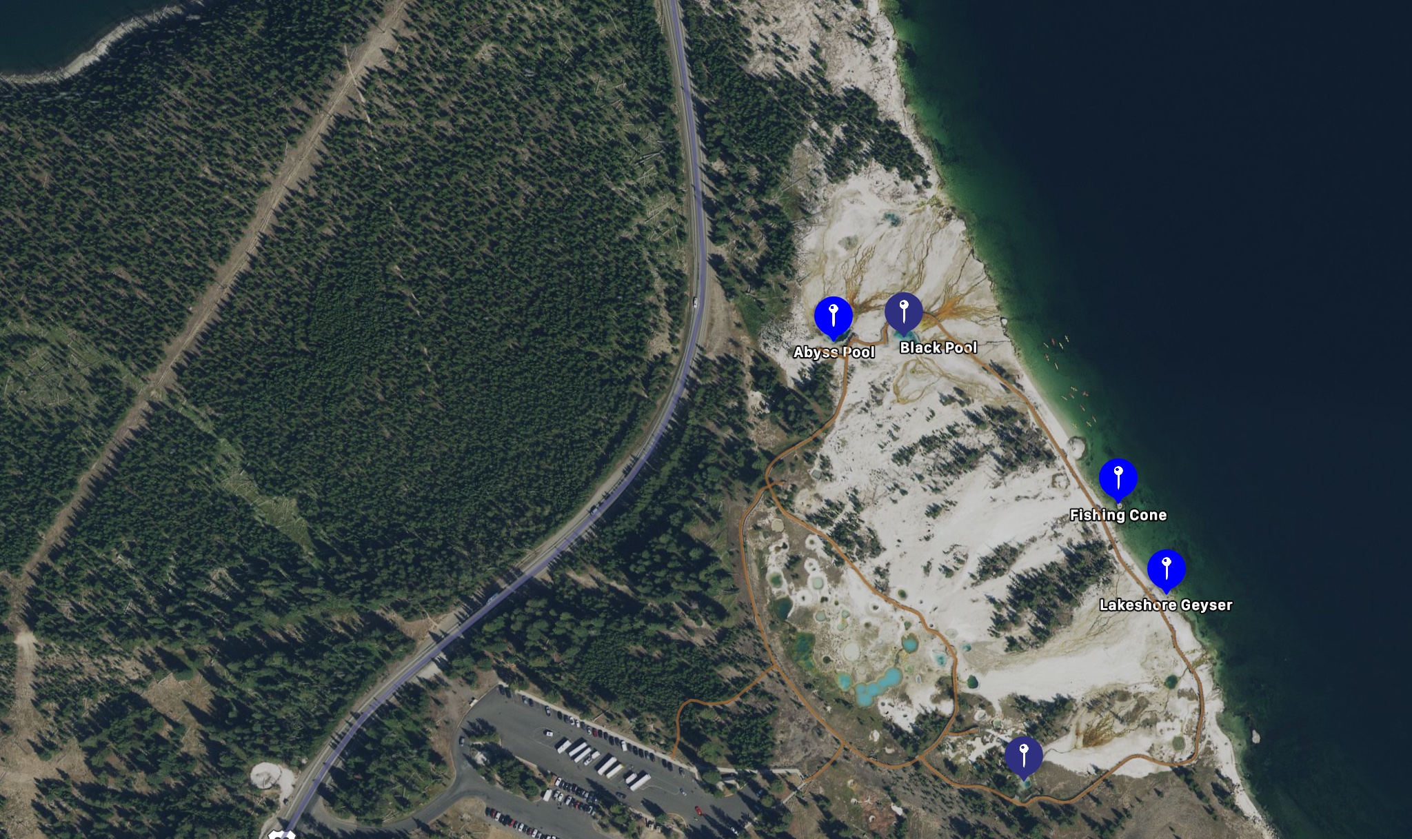
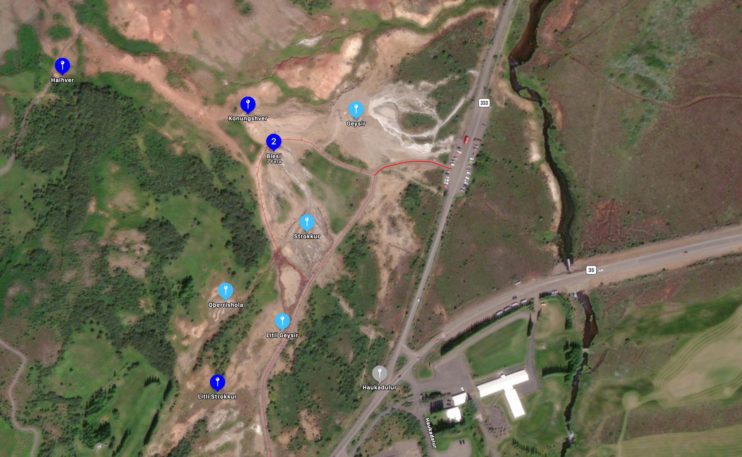
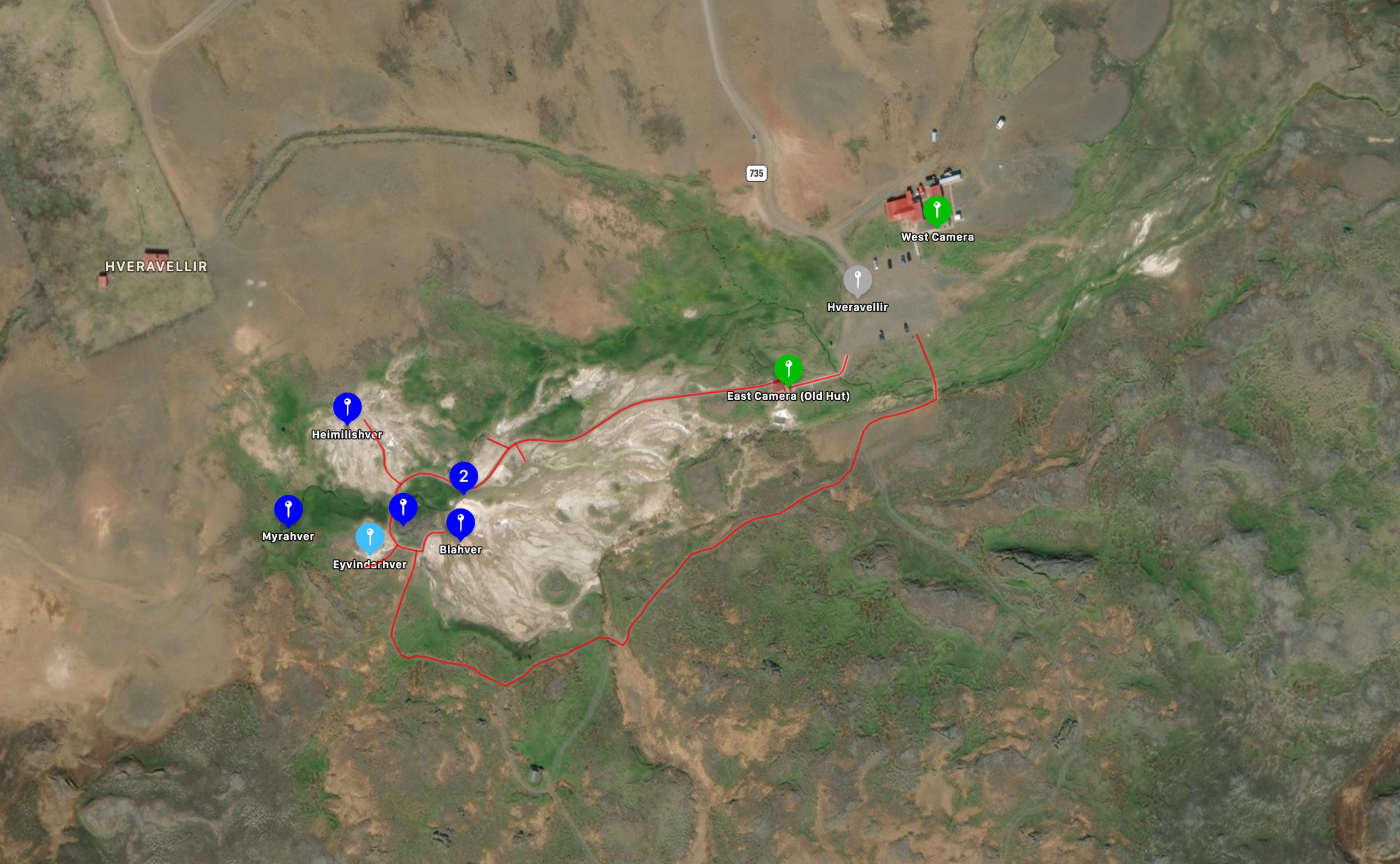
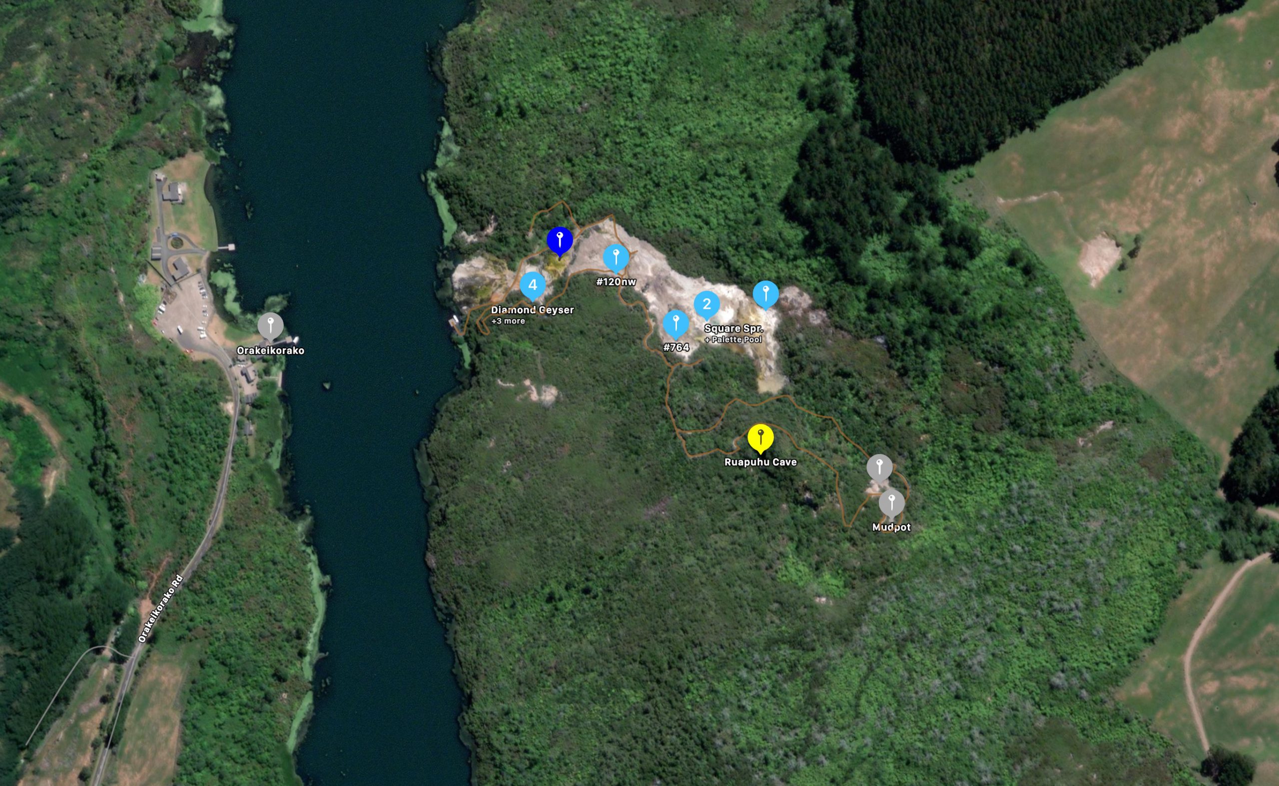
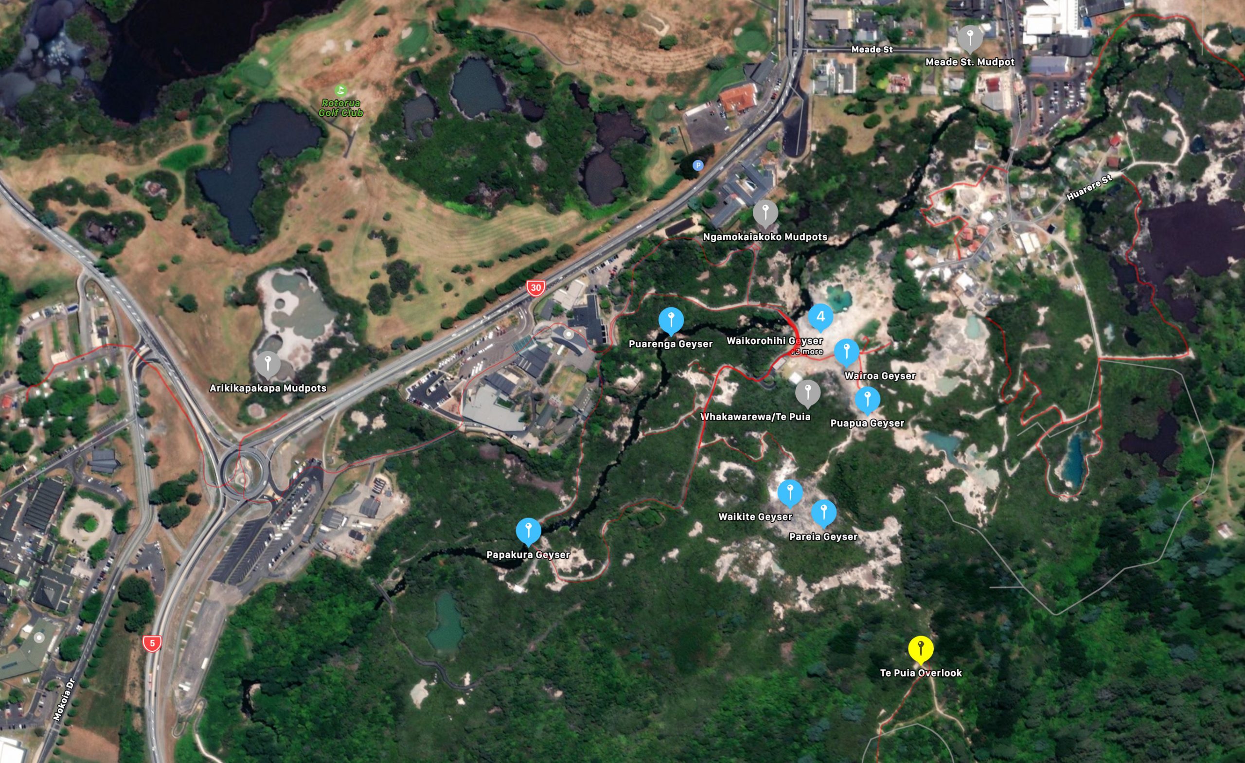
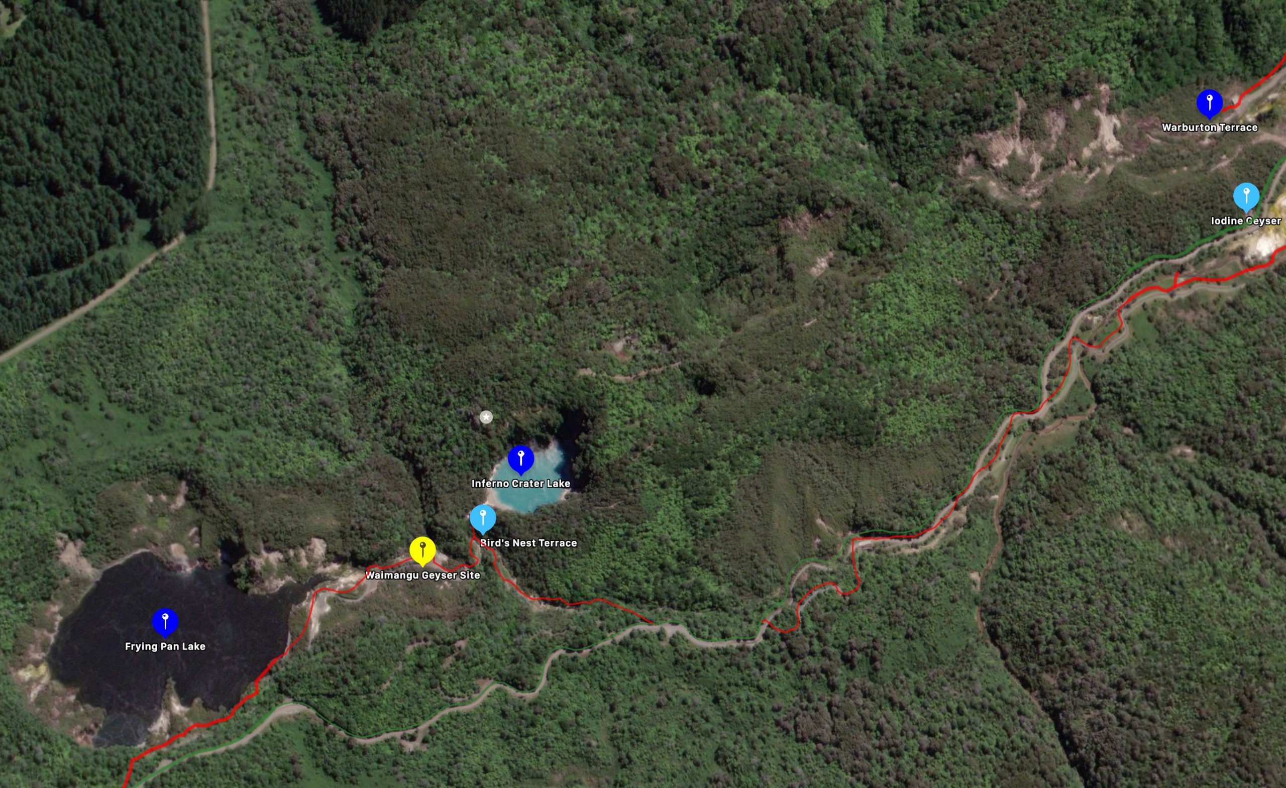
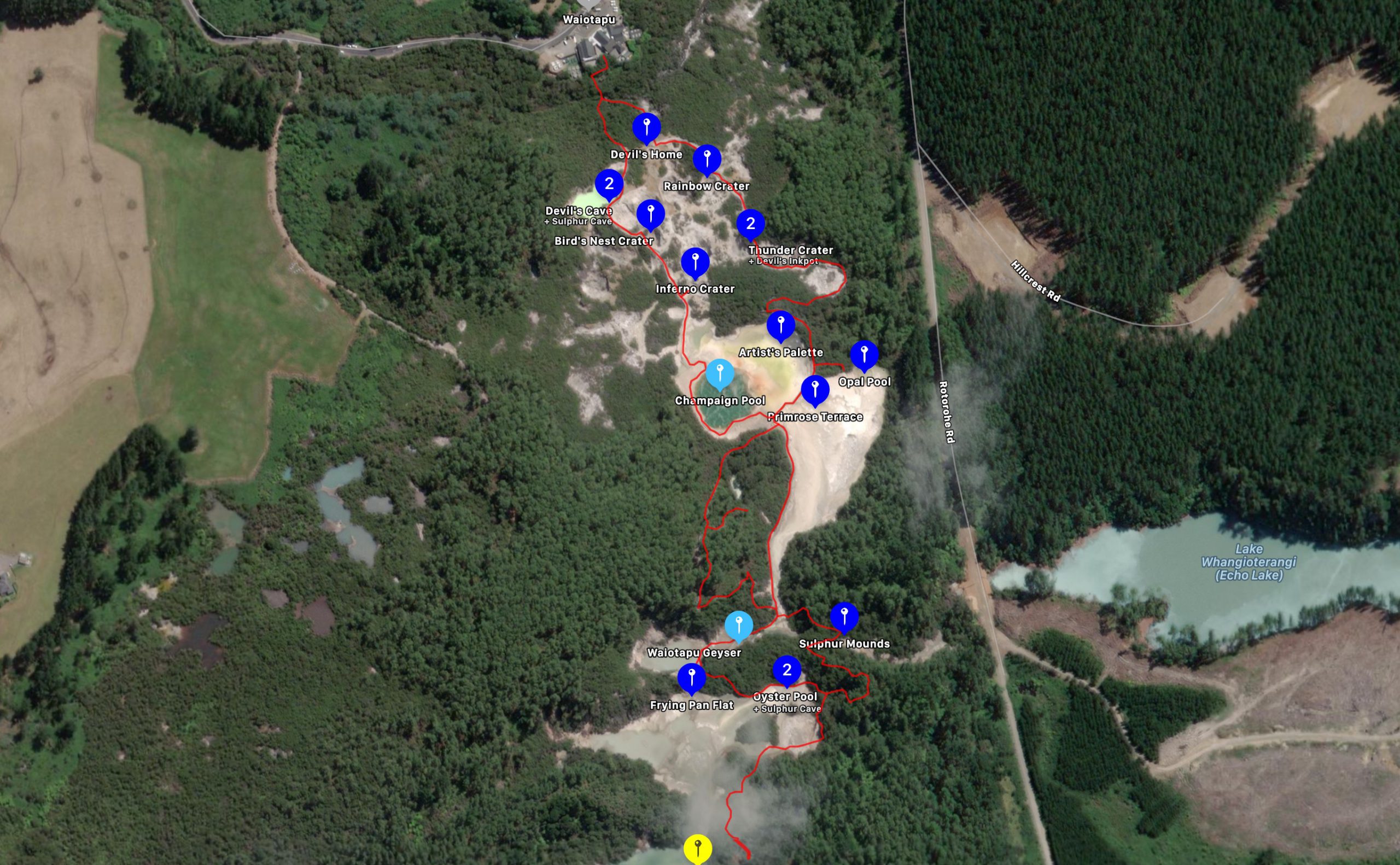
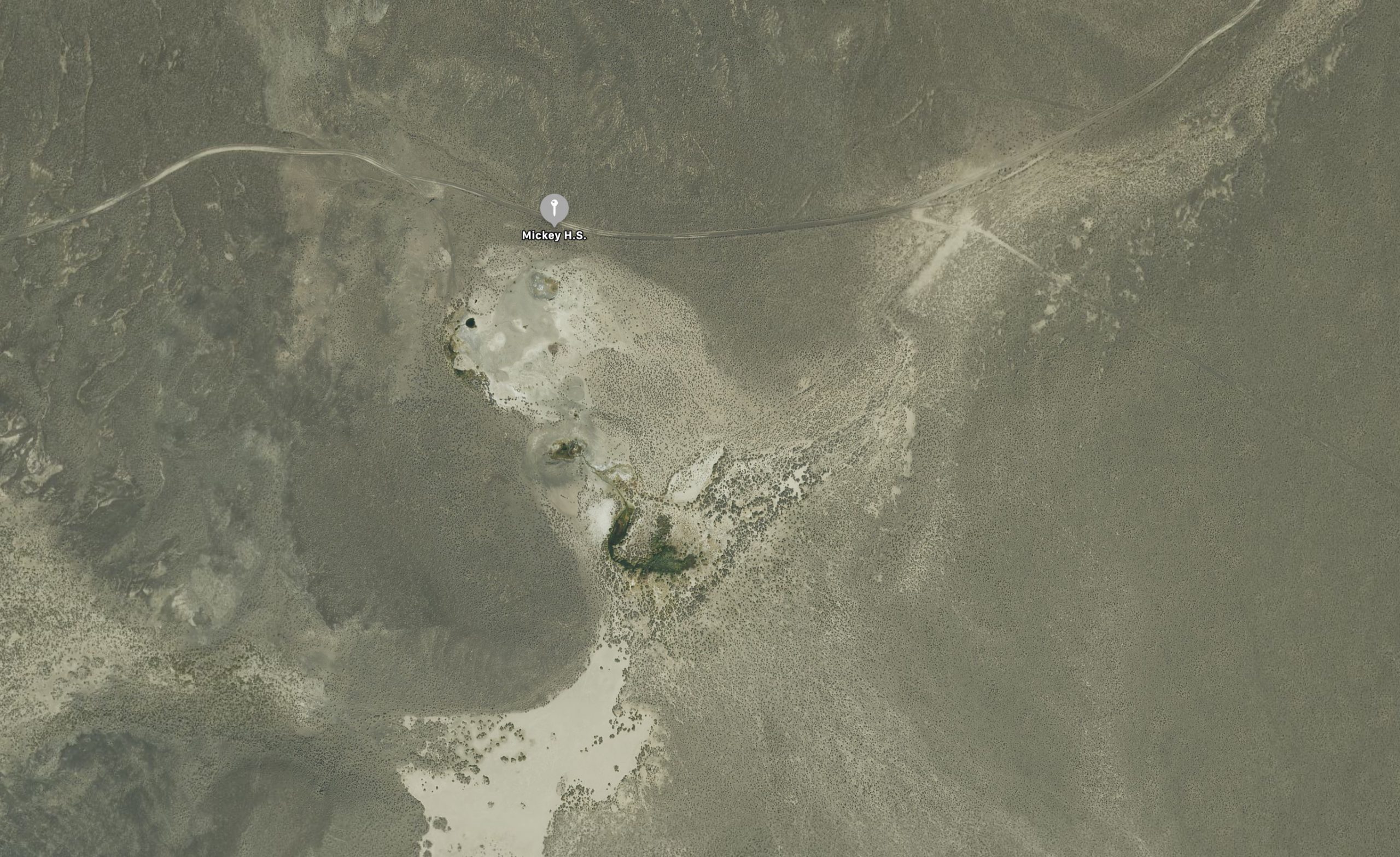
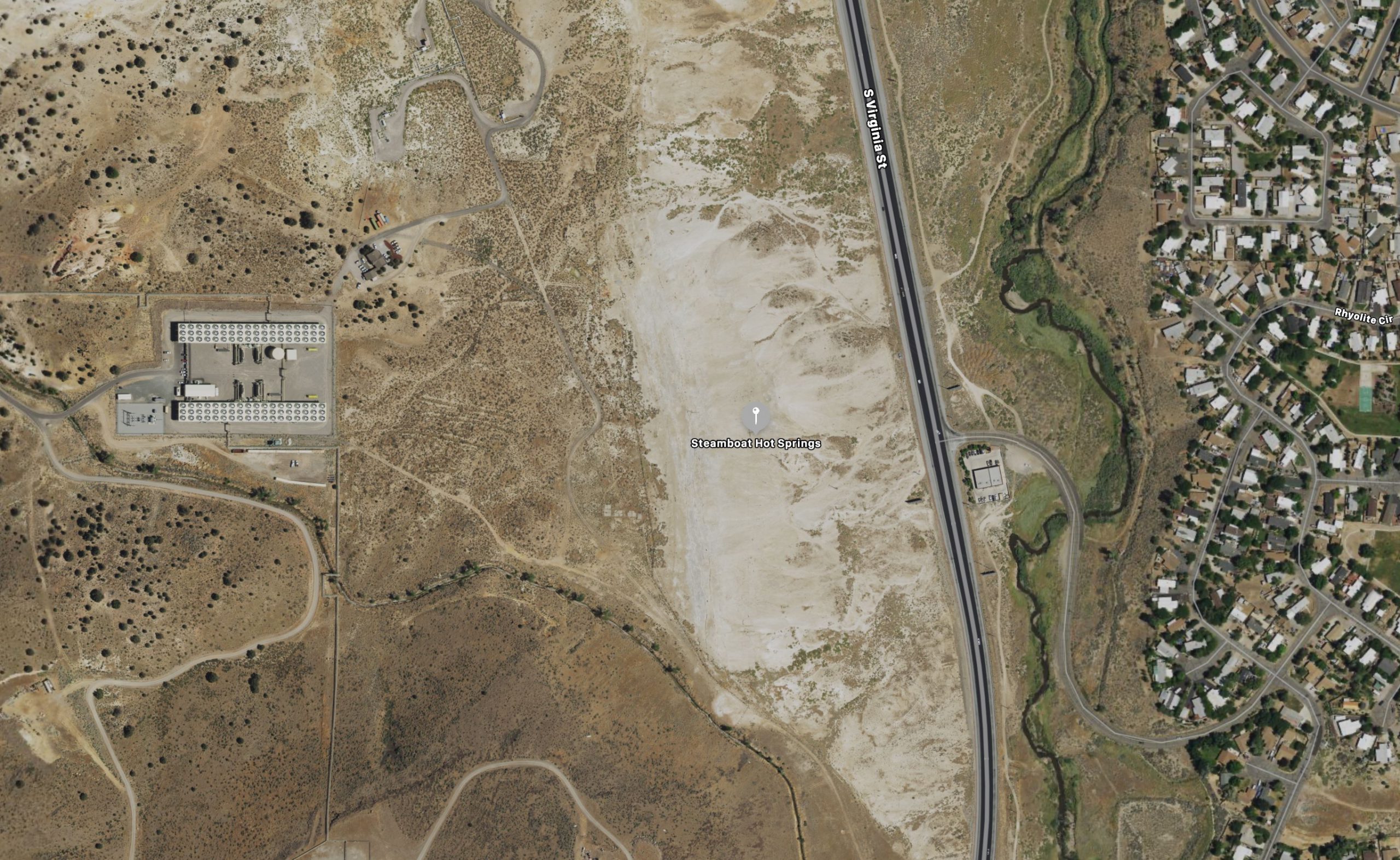
Geyser Hill, Upper Geyser BasinFountain Paint Pots, Lower Geyser BasinMidway Geyser BasinBack Basin, Norris Geyser BasinShoshone Geyser BasinWest Thumb Geyser BasinHaukadulur, IcelandHveravellir, IcelandOrakeikorako, New ZealandWhakarewarewa/Te Puia, New ZealandWaimangu, New ZealandWaiotapu, New ZealandMickey H.S., OregonSteamboat Springs, Nevada
Over the years I've noticed a few films that have geyser appearances. If you ever want to see what Hot Creek looked like during the 1960s, be sure to watch the John Wayne film, "North to Alaska". There are a number of erupting features right next to the cabin which is supposed to be near Nome. There's "The Mountain Men", featuring Charlton Heston which contains scenes of him climbing on Castle Geyser. The "Planet Vulcan" of the first Star Trek film including views of the terraces at Mammoth. Then there was Beavis and Butt-Head's roadtrip that took them to Old Faithful, but the giggling idiots were more interested in the automatic flush urinals. (Does the new Cathedral have these? Not that I'd know...)
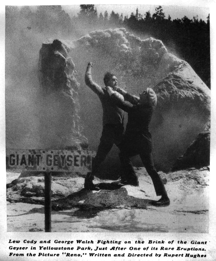
Grover Schrayer passed along a discover he made recently-- a still photo from a silent movie in which geyser play a role: "I found this photo in the April 6 1935 issue of the Saturday Evening Post. I know nothing much about the movie, except that it was released in 1923, and it was a silent film
of course." There's a bit more in the caption to the photo:
Lew Cody and George Walsh Fighting on the Brink of the Giant Geyser in Yellowstone Park, Just After One of its Rare Eruptions. From the Picture "Reno," Written and Directed by Rupert Hughes.
We were both impressed by how dry the platform was for just after an eruption. Does the film include footage of an actual eruption? Or did they substitute stock footage of Old Faithful or some fountain? Stock footage of Ol' Filthy from back then would still be a nice find. But does the film even exist any more? Most of the films made back then have deteriorated to where they are no longer viewable. What has survived got copied over to better stock, and since there wasn't much commercial interest in silent films, a lot of them never got that treatment.