When I first started watching geysers in the early 1980's, all that was recorded for Grand in the green logbooks was the start time and the number of bursts. As I started to watch Grand more closely, I thought that there were several other items of interest that could be easily recorded, and that didn't require precise timing.
If you record start times to the second, and you make a point of getting both Grand and Turban, you will then have a good idea of the interval of time between the two geyser starts. Noting such starts to only the minute is just an exercise in generating noise, as you won't see enough eruptions for statistics to sort those starts into enough bins that any sort of analysis will be useful. (The same goes for recording Vent starts, other than to definitely say that Vent started. Since I know of only three eruptions of Grand in a close to half century where Vent did not start until near the end of Grand, it would be better to loudly note that Vent did something unusual, not that it behaved normally.)
But most people don't need to record times to the second. But knowing which geyser started the eruption could still be statistically interesting, so I came up with the "T" and "G" prefix. Technically, the time between the start of Turban and the start of Grand determines which to use. If the number is negative, then that is a Turban Start. If non-negative, it's a Grand Start. Since zero is a non-negative number, this means that Grand gets the ties.
Since I started video recording Grand starts, I've noticed that I'm not always accurate with the exact second that a geyser start. Sometimes off by a couple of seconds, which can add when events are spaced closely together. But getting which geyser actually initiated the eruption is reliable, so I'll leave it to someone else to go through all my posted videos and come up with more accurate start times. So G vs. T is still a good measure.
The other item of interest was how the eruption ended, and for that, we have Continue and Quit. What constitutes a Continue is pretty easy to define-- it's when Vent and Turban don't stop. (And I have never seen just one quit and the other continue, but I never expected to see a second Grand burst before Vent starting…)
As a gross measure, Quit is also obvious, but timing it can be tricky, as which geyser quits first can vary a fair amount. (I've got video records if anyone wants to look at them…) Usually it means that it is the time when I notice that Vent has died down and I don't see any activity from Turban.
If you want to wait around from six to 25 minutes, you can catch the Restart time after a Quit eruption. The restart time is the time of the second surge coming from the empty Turban crater. The first surge can be small enough to be missed, but starting with the second Turban activity is becomes obvious and nearly continuous.
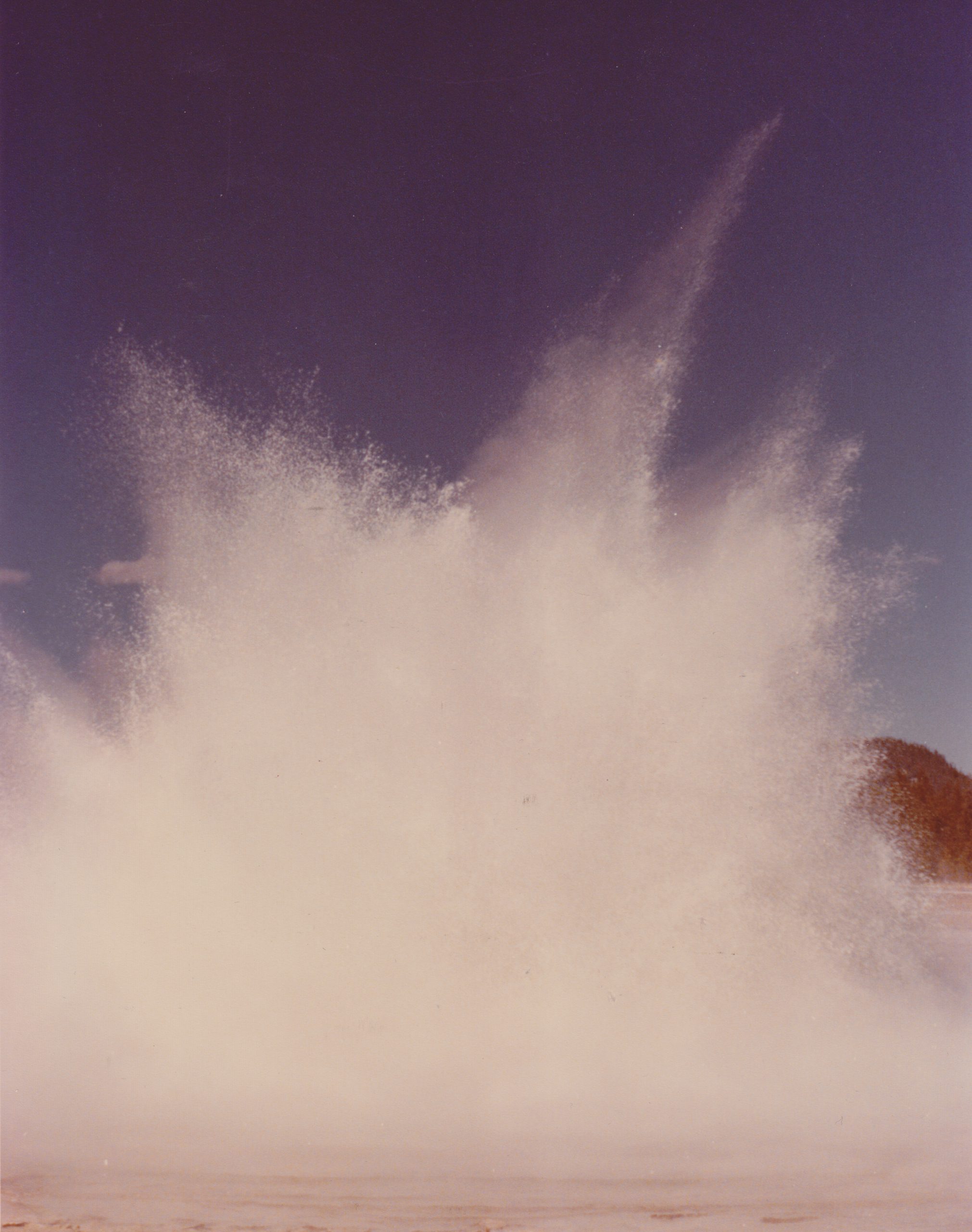
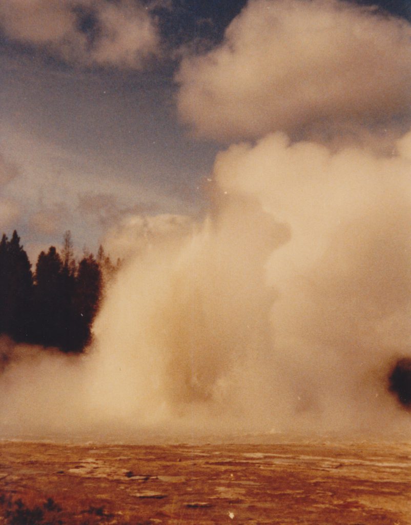
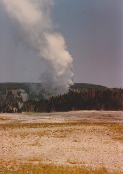
Back in the 1980s there was a lot more variation in Grand's burst activity, with multiple bursts expected. Sometime when we got only a Two Burst Eruption (calling it a "Double" means you are displaying your ignorance of the terminology), we noticed that that second burst lasted a long time. From the little bit of data I'd collected, I set an arbitrary limit of 75 seconds. Any burst lasting that long, or longer, was a "Long" burst. Since it was the start of using computers to record data, I decided to use the "*" character to denote that. Once again, it was one of those things that didn't need timing to the second to determine. (Maybe a 70 second burst got recorded as a long, or an 80 didn't get recorded, but that's not significant.)
Then of course we got a Long Burst on the third burst (if I remember correctly, it was also a Four Burst Eruption). So I used the "#" character to denote that. (If a long Fourth had ever happened some character would've had to volunteer to be used.) Back in May earlier this year several of us got to see a Grand eruption with both a Long Second and a Long Third burst.
Once Grand's pool drains it's still possible for there to be more bursts. These are Afterbursts, and can occur several minutes after the previous burst ends, as long as Vent & Turban continue. Normally it can take well over ten minutes for splashing from Grand's vent to start, but afterbursts start with splashing almost immediately. This splashing builds in intensity, and at some point becomes continuous with actual bursting and a full pool. The burst count of this activity is recorded separate from the main eruption burst total, using a "+" to denote the afterburst. Back in the early 1980s there were several Grand eruptions with a second afterburst observed.
Suzanne Strasser first noted the "Two Turban Delay" in the late 1970s. It was not unusual for Grand's pool to fill and then not have Turban erupt at its usual rhythm of 18-20 minutes. In 1983, we were getting these delays just about every Grand interval, and the delay wasn't for two Turban Eruption intervals but for five or more. So it seemed worthwhile to note when these happened, and how long the recovery took.
Since Grand had been observed to erupt as much as thirty minutes after the previous Turban eruption, came up with the idea of "Delay zero" being the Turban eruption following the Delay. If Grand erupted, that was a relief. If not, then the count began.
Every subsequent Turban eruption got the Delay number incremented by one, and it wasn't unknown for it to reach double digits (usually after midnight). But we also found that there could be multiple Turban Delay Intervals. Did that matter? Decided that it did, and to record that, we would restart the count. It seemed that the pattern of D3/D2 was fairly common, where if Grand tried to start on the third interval and failed, it would finally erupt two more Turban Eruption intervals later.
Once again came up with an arbitrary time interval definition. Turban intervals up to 23 minute long seemed to occur enough that they weren't noteworthy. But by 25 minutes, one could tell that Grand wasn't going to erupt and most delays were longer. And an arbitrary 25 minutes is easy to remember.
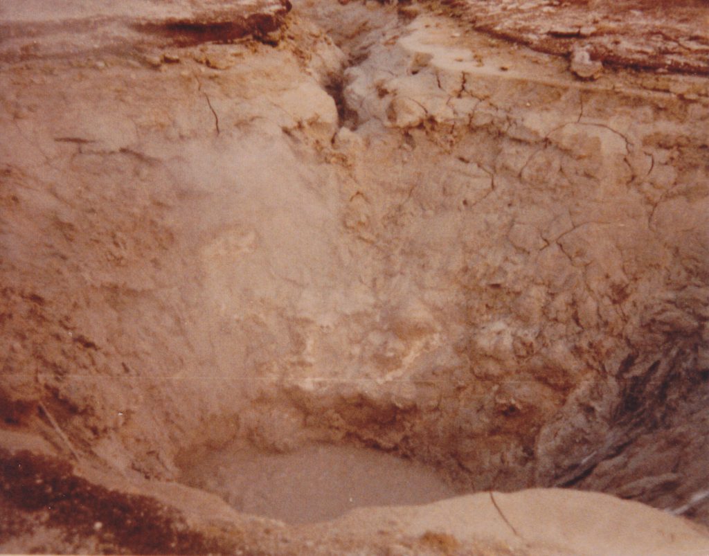
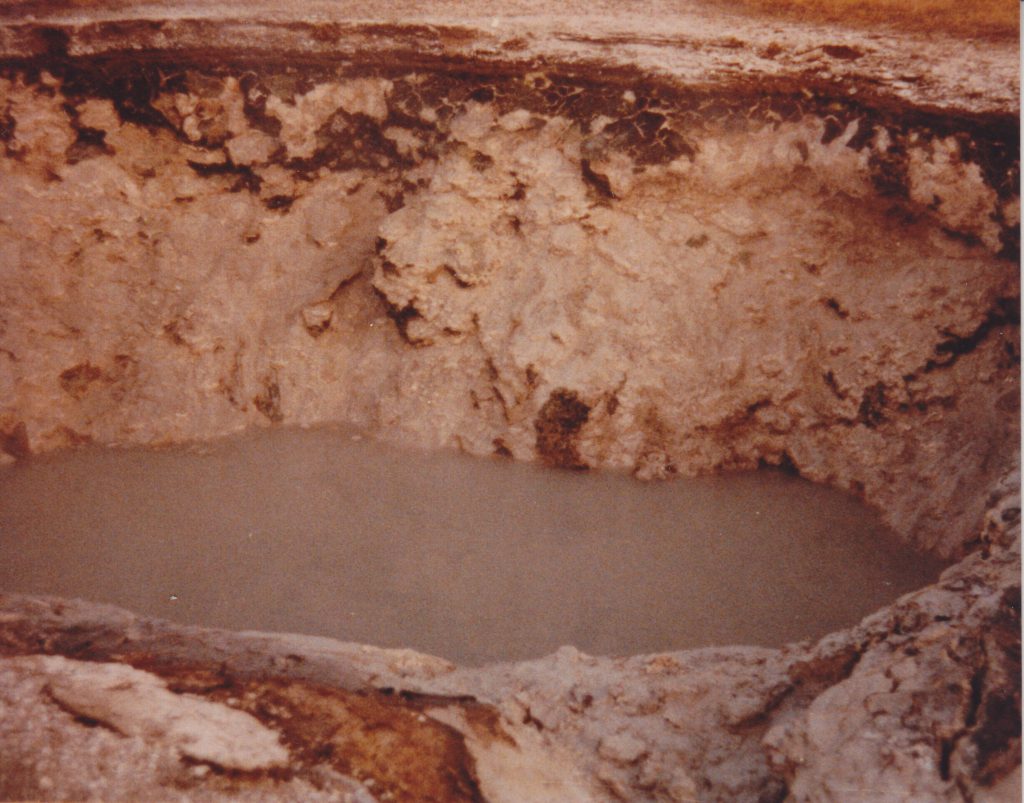
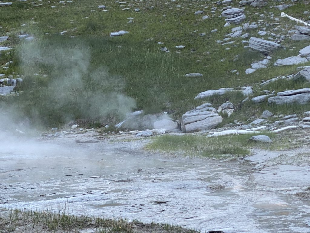
I noticed in the early 1980s that often Vent would overflow around the time that Turban started just before a Grand eruption. Because of its location, the start of overflow could be hard to see and was frequently overlooked. Then there were times that Vent would overflow, especially during a Turban delay interval, and Grand wouldn't erupt. So started noting that with a "V" delay code.
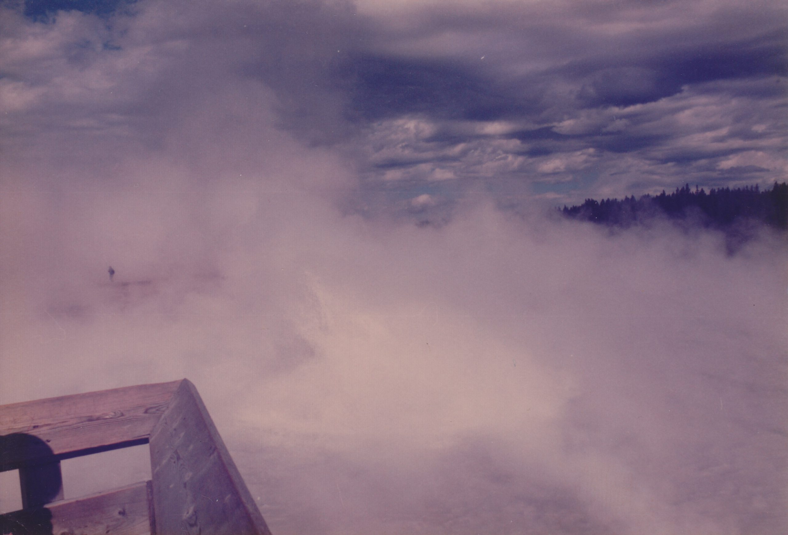
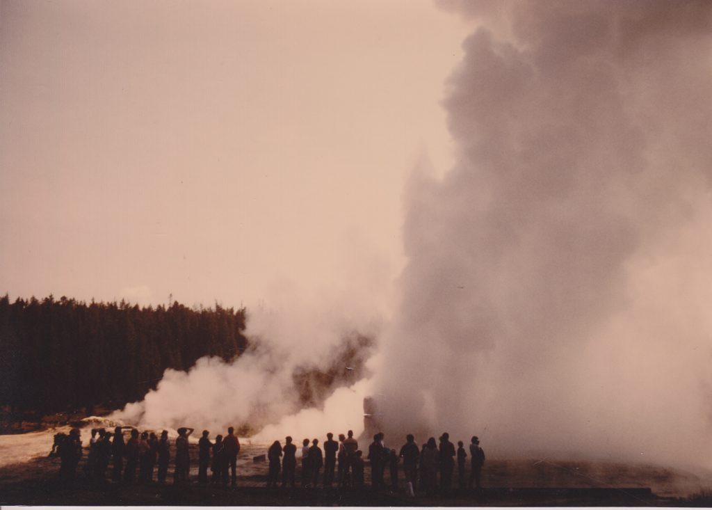
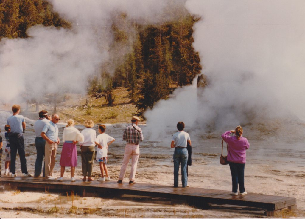
The term "boop" came from Bob Fittro, one of the gazers who was around during the late 1980's and early '90s. He was one of those people for whom "it's after 5 o'clock somewhere." So there's a small group of us sitting out on the old wooden boardwalk benches at Grand when he fumbles his drink and spills some. The immediate comment was, "my drink booped". It was around the time when the large boils on Grand that did not result in an eruption were becoming annoyingly noticeable. Almost immediately we started using that term, "boop" for one of those boils. It's quite possible that on the next Turban eruption that evening, that's what happened, hence the quick application of the term.
As with the Vent overflow, it was easy to note a Boop Delay and use a "B" as the delay code.
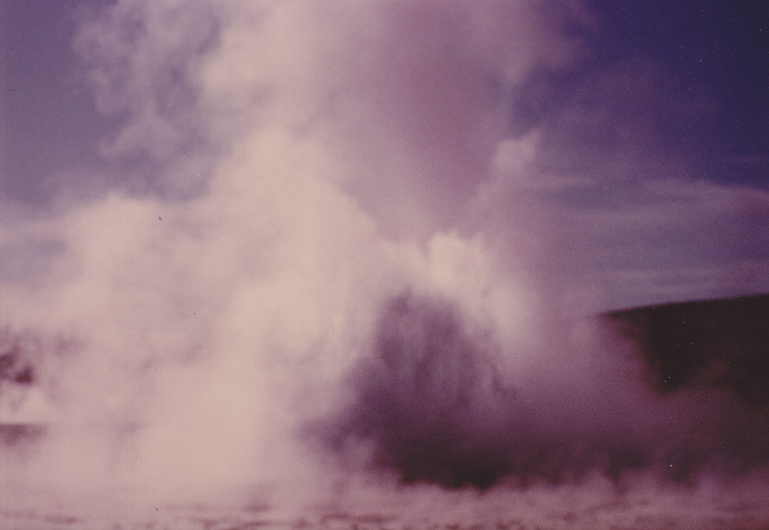
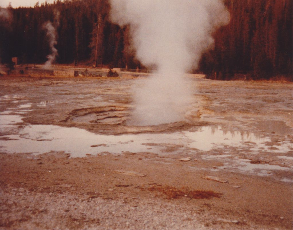
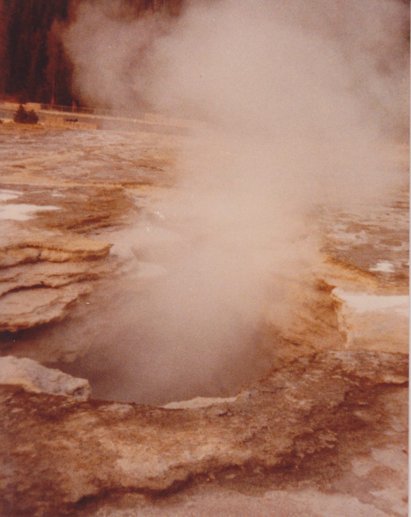
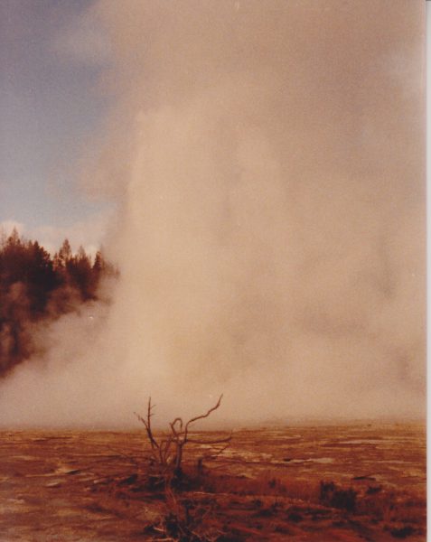
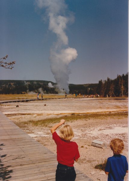
The Grand eruption itself doesn't start until Grand starts jetting. Some of those boop/boils can reach several meters high (I have a few on video) and come well before the actual start. It still amuses me when some newcomer, upon seeing such a boil, immediately announces over the radio that Grand has started. Fortunately for them, most of the time a subsequent boop will result in the eruption, so then don't need to retract their announcements. But as with "Waves on Grand", make that announcement at your own peril and be prepared to issue a correction.
A "Boop Delay" or "Vent Delay" doesn't need to last the full 25 minutes of a Turban Delay. The fact that Grand made an attempt (which are what the vent overflows and boops are) was good enough.
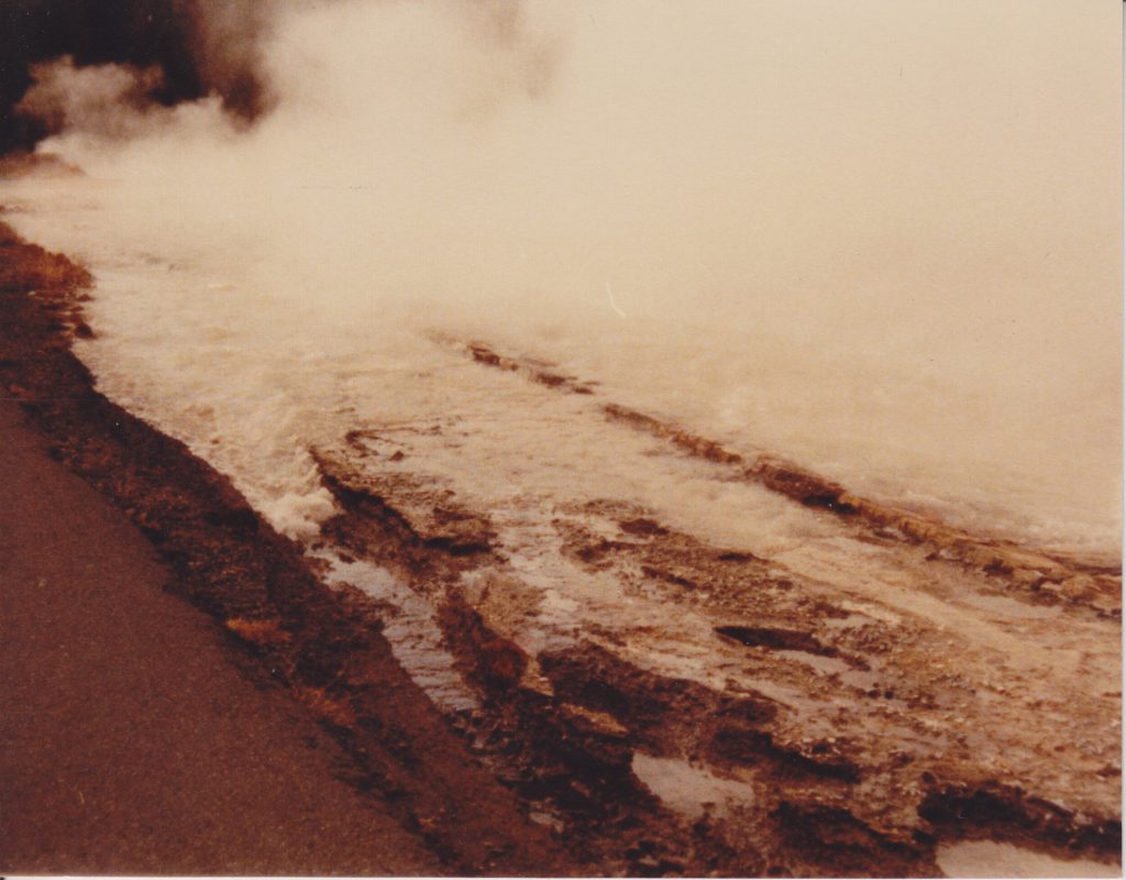
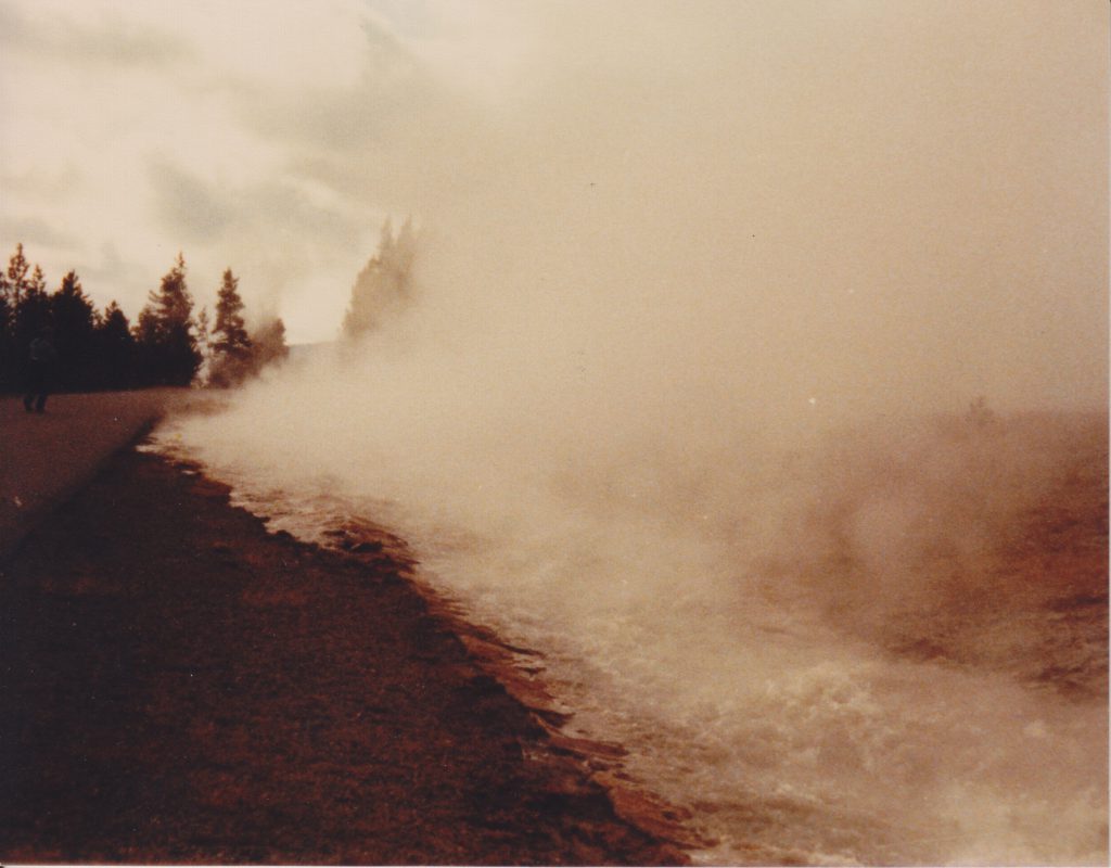
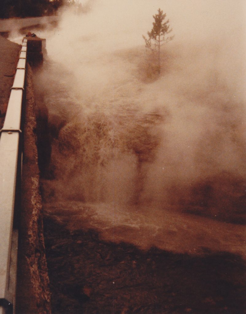
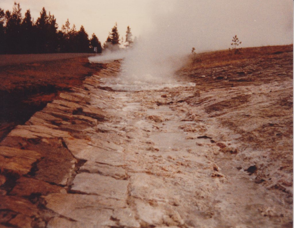
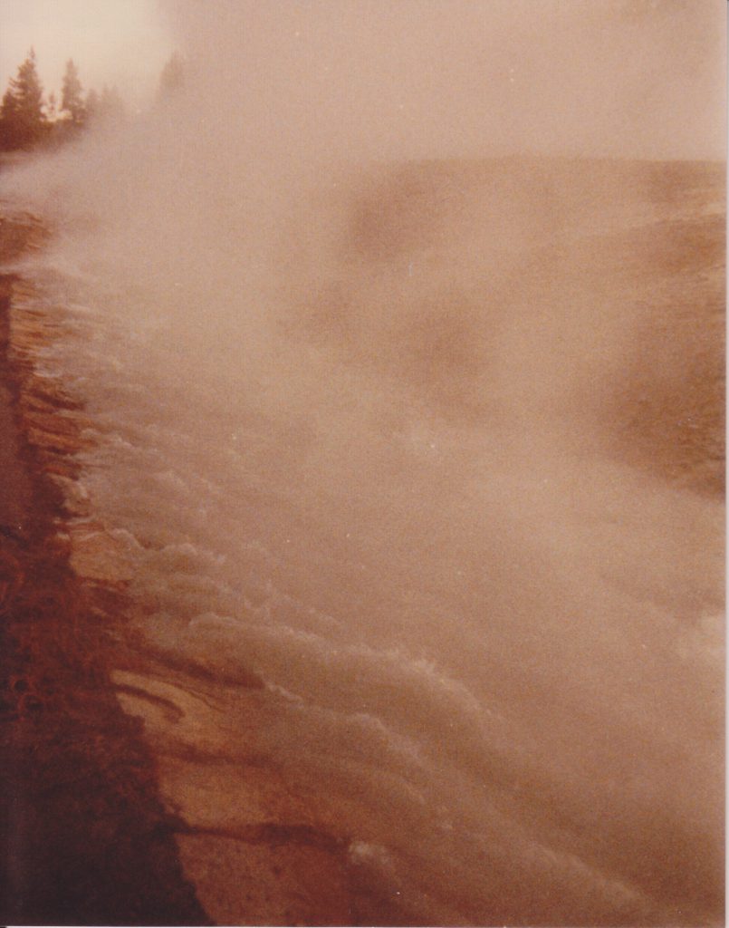
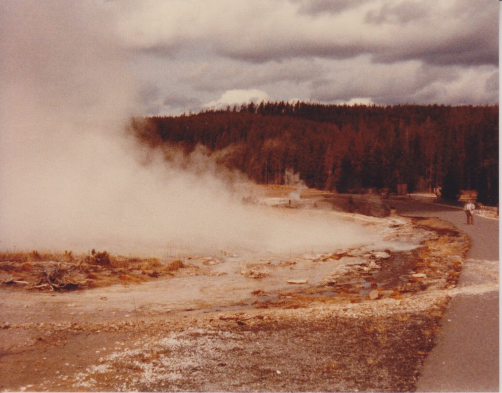
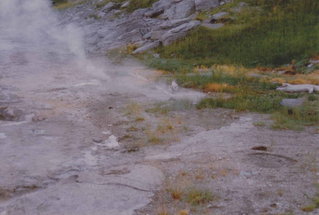
There are other times that could be recorded as part of the whole Grand eruption cycle. The start of overflow from Grand is one. It's best seen on a warm afternoon where the terraces dry out. As the pool rises, suddenly a patch of sinter on the front left side starts to change color as water starts to flow over it. Within a few minutes, water is visibly trickling out over a broad front, so it's not really necessary to get an exact timing. But when I've measured it over the years, the time has been fairly consistent, around 4h20 to 4h10, despite all the variations in Grand's eruption interval. It's only when Rift erupts that the first overflow time can be delayed, sometimes for several hours.
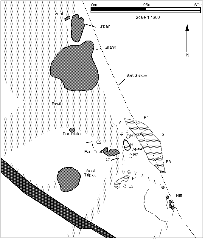
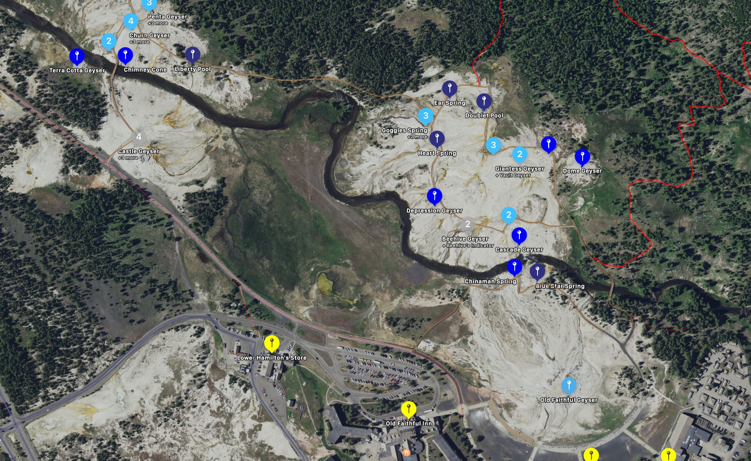
Noting the activity of all the other features might be useful. Until this year, the sequence of event leading to the start of Rift erupting was fairly well known and consistent, with West Triplet and Percolator playing their parts. This past year, however, no one ever saw the start of Rift. Other than the West Triplet runoff being dry, which would indicate no eruption there.