We managed to skip the tour and head straight out into the geyser area at Te Puia (Whakarewarewa). It was a fairly cold morning (this whole trip the weather has seemed more like late Spring instead of Summer). Arrived with Te Tohu in eruption, so we knew that we would soon see our first eruption of Pohutu.
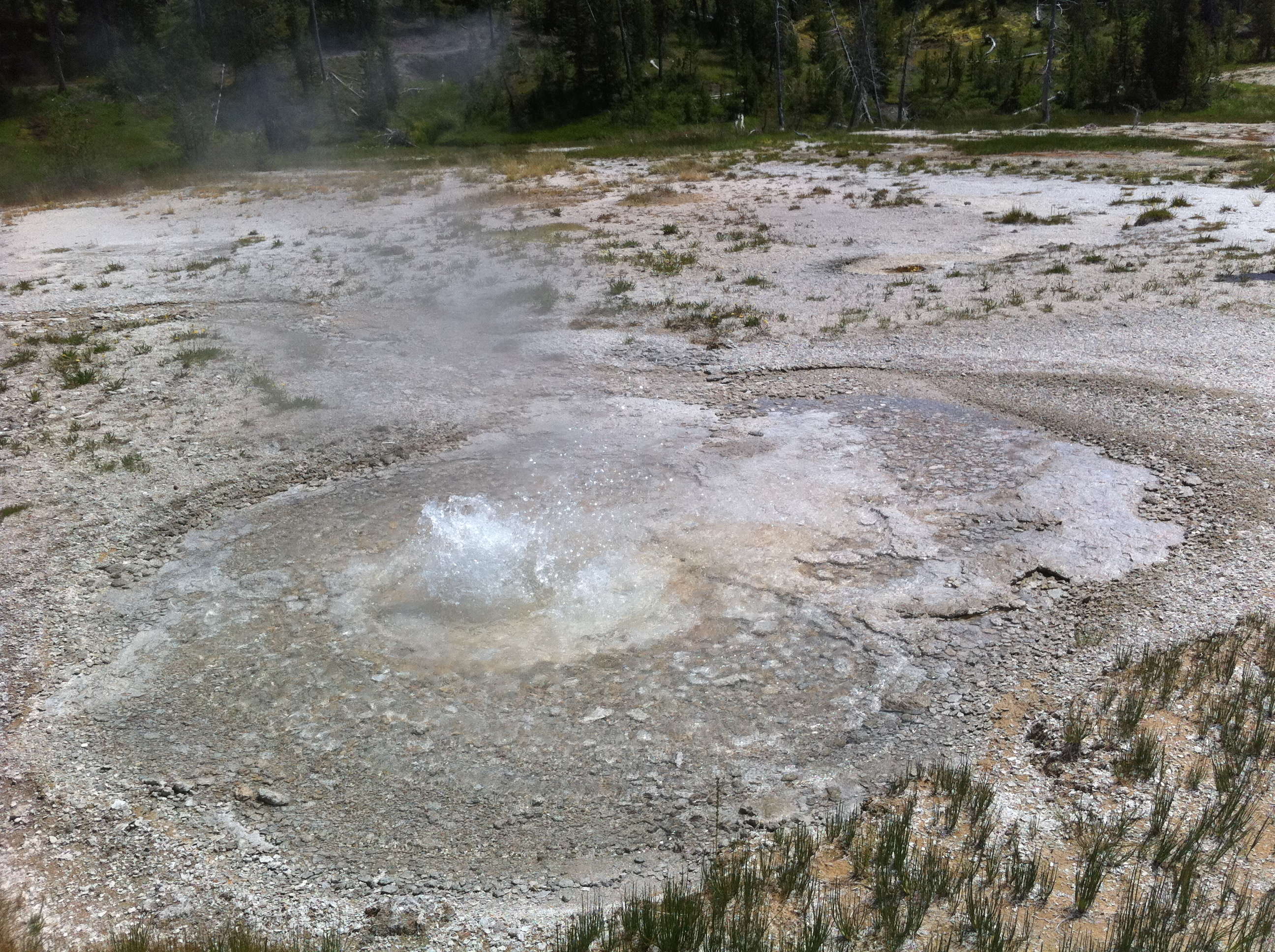
We also saw our first minor eruption by Kereru. We quickly established that they were coming every two to three minutes, and were stronger and taller than what we had seen in earlier trips. Despite the size, there was never any evidence that it was going to flood the platform the way it does with the start of a major eruption.
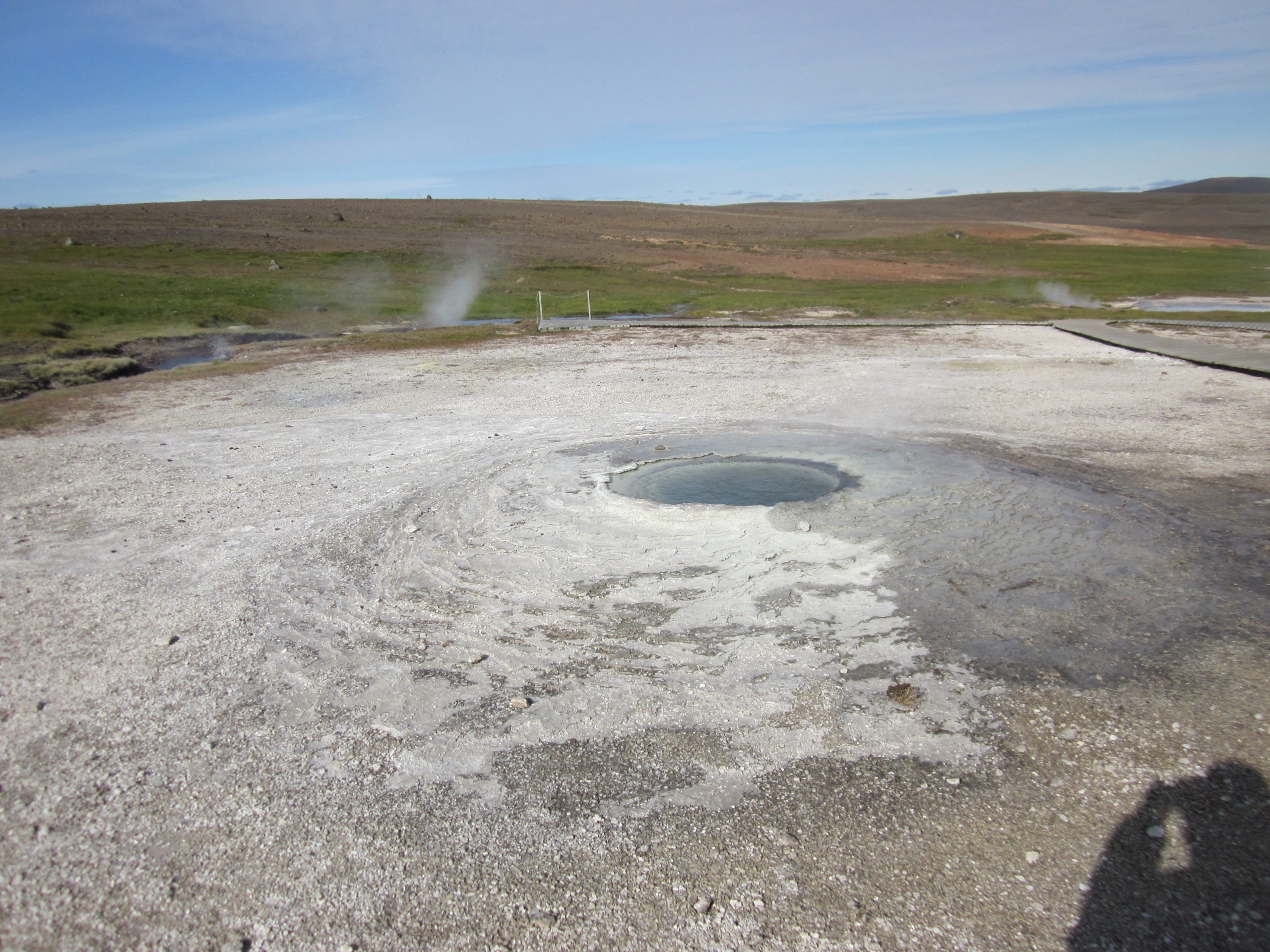
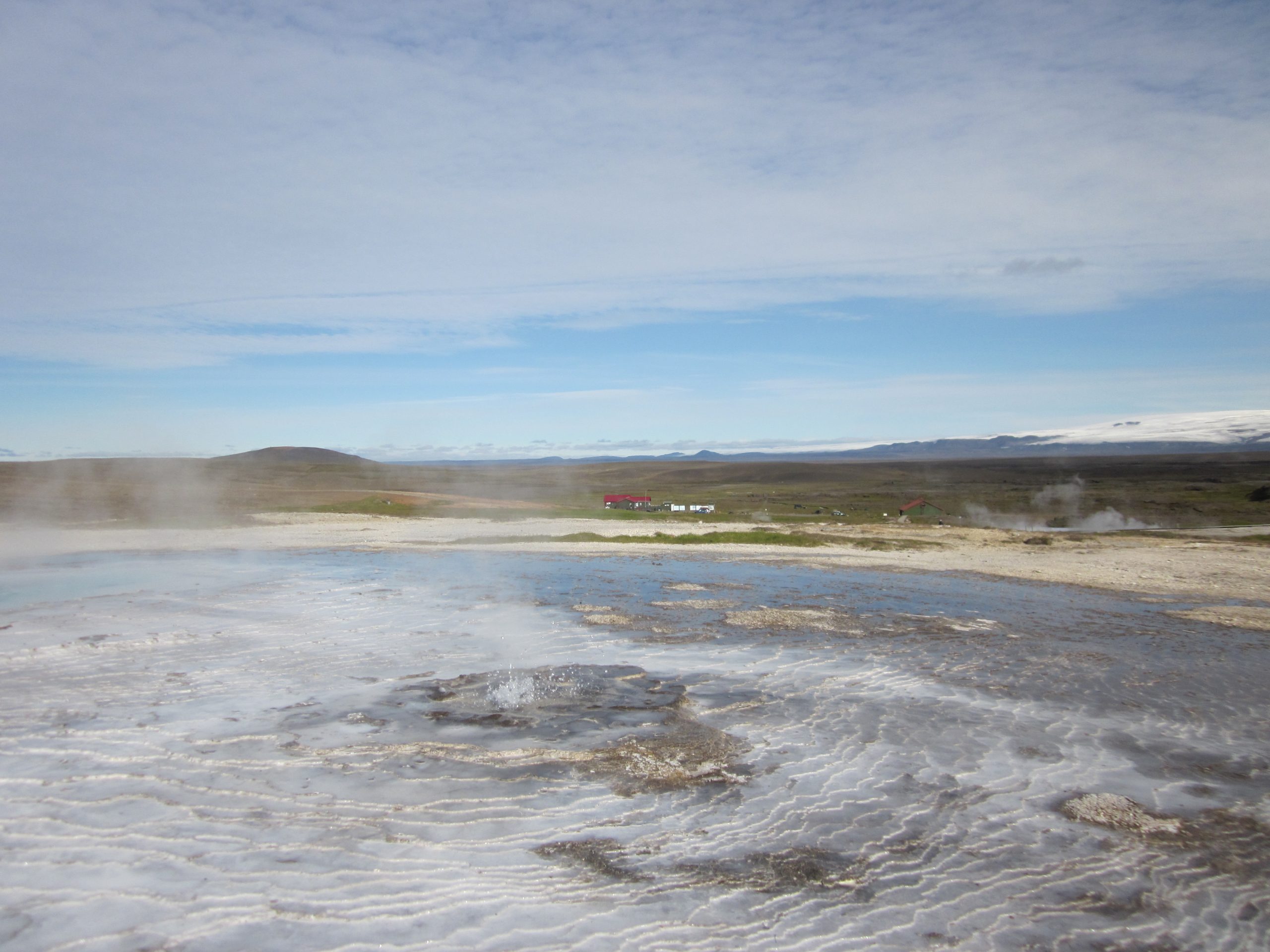
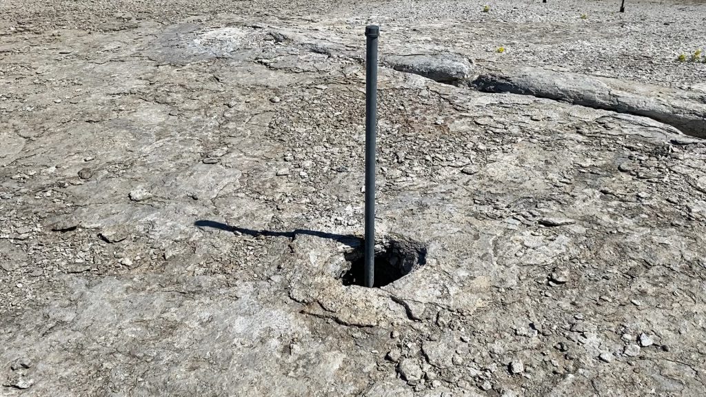
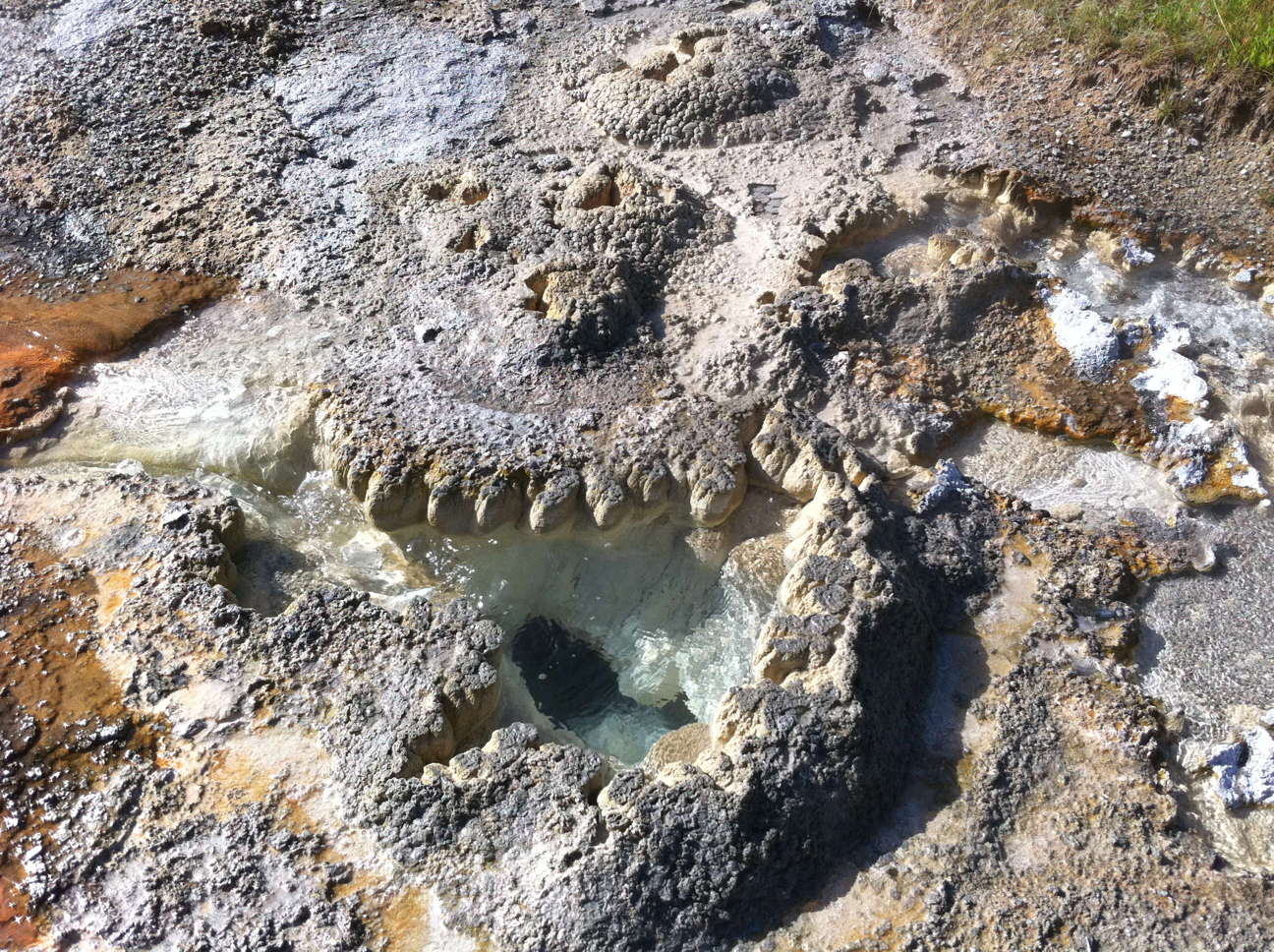
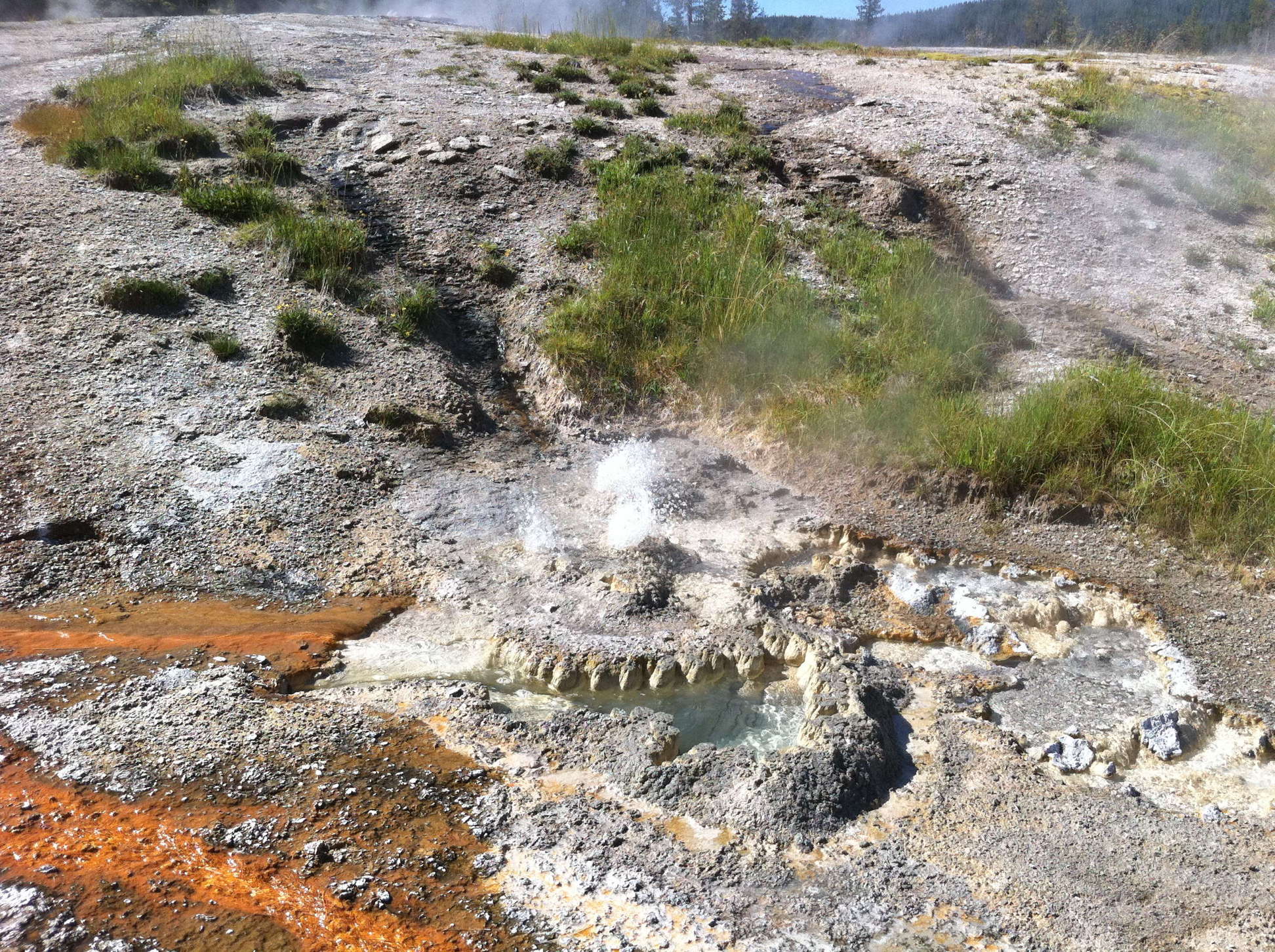
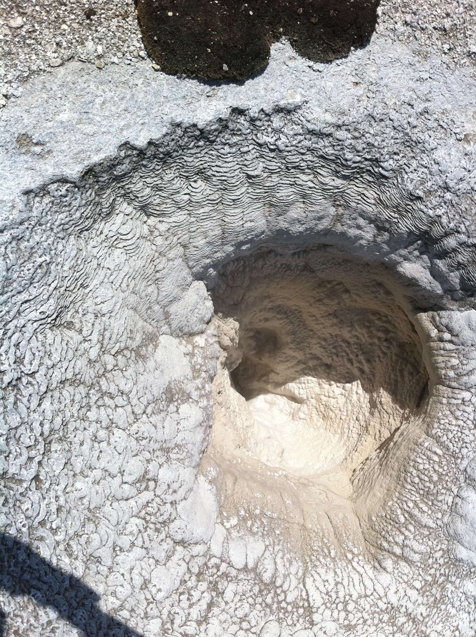
Beyond Pohutu we saw another geyser erupt. At first we thought it was Mahanga, but later determined that it was Waikorohihi, located right next to Mahanga. Mahanga was mostly quiet, but I did see a couple of eruptions up close, and once I knew the relationship between the locations of the two, I was able to identify another eruption from down on the bridge where we observed Kereru.
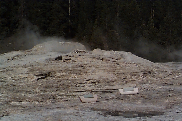
The lead time from Te Tohu to Pohutu was fairly consistent at a bit over ten minutes. The start of Pohutu can be a bit hard to determine, as it does a lot of slopping around after Te Tohu has been active for a few minutes. At some point the slopping becomes continuous, and then a few minutes later, there was a definite pickup in the strength of the activity. Te Tohu also becomes stronger at that point, so both geysers are starting to make roaring sounds. The heights varied, but I'm pretty sure there were a couple of Pohutu eruptions where the water column had jet spikes around 20 meters (taller than Lion).
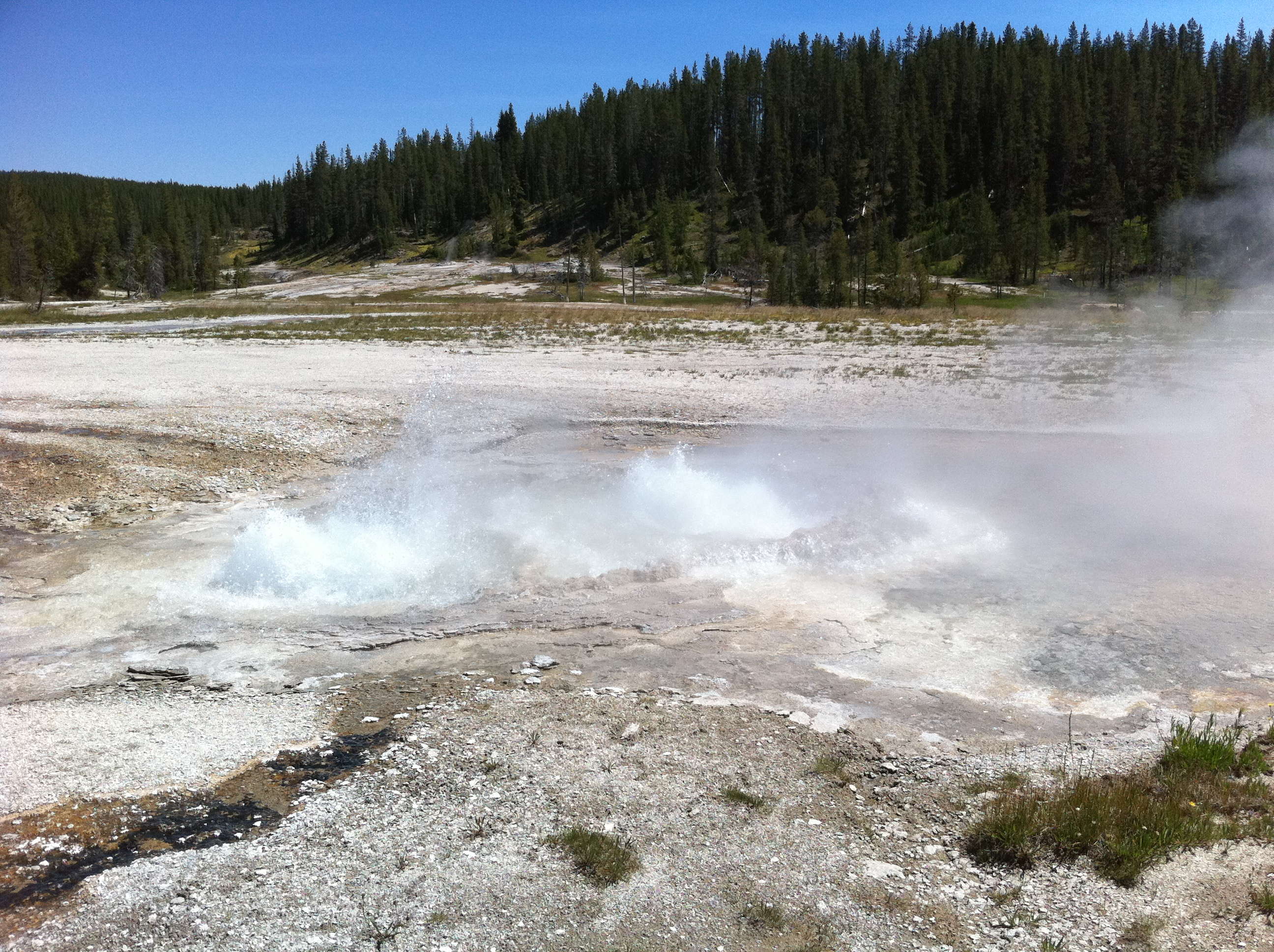
The minor activity from Kereru lasted about 3-1/2 hours, with the last one we observed coming at 12:55. For about an hour, the only activity were some barely visible single splashes. Over the next few hours, that activity continued, with a series of strong splashing every 45 to 60 minutes. These were the time when it looked like Kereru was going to have a major eruption.
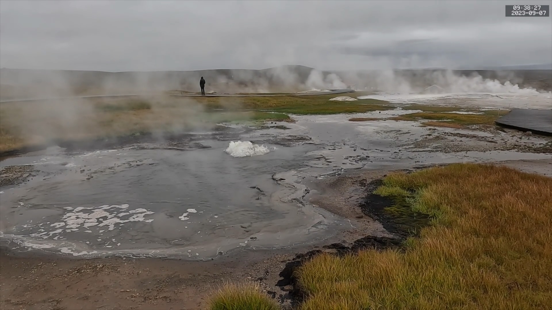
But it took another 3-1/2 hours before that major eruption finally occurred. Not only did it make us wait a long time, the major came after I exhausted the final battery on my camera. But that didn't matter because at the same time I had completely filled the memory card.
Several of those periods of surging came at times when tours would come through, and I expected to have that noise (along with the shuttle trolley) in the background when the eruption finally occurred. Instead, the major came at one of the few times when the wind had not only died down, but reversed direction, so instead of a clear view, we got to seem a mass of steam for much of the eruption.
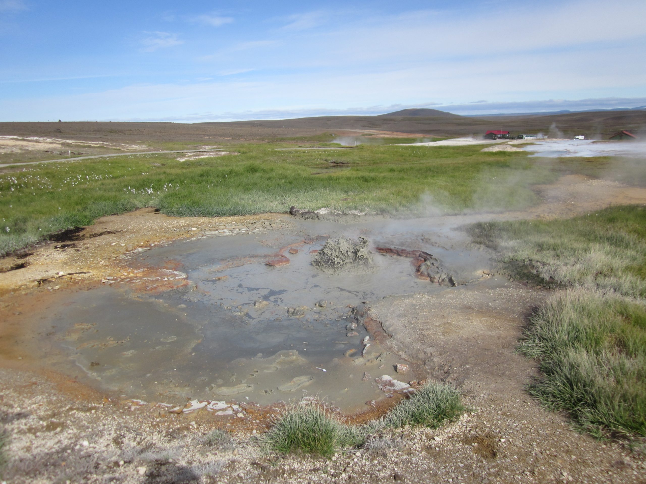
Originally we had intended to see an eruption of Kereru, then spend some time going to other parts of Te Puia. But the major eruption came so late that we had no time to do much else. The Kiwi House was already closed up for the day, so we did go over to the mud pots, where it turns out that there is a pretty good view of Kereru. For our final time in the area we watched a final eruption of Pohutu (and Waikorohihi) and timed Kereru minors. Should we visit again, that spot might be the place to watch the minors until the pause starts.
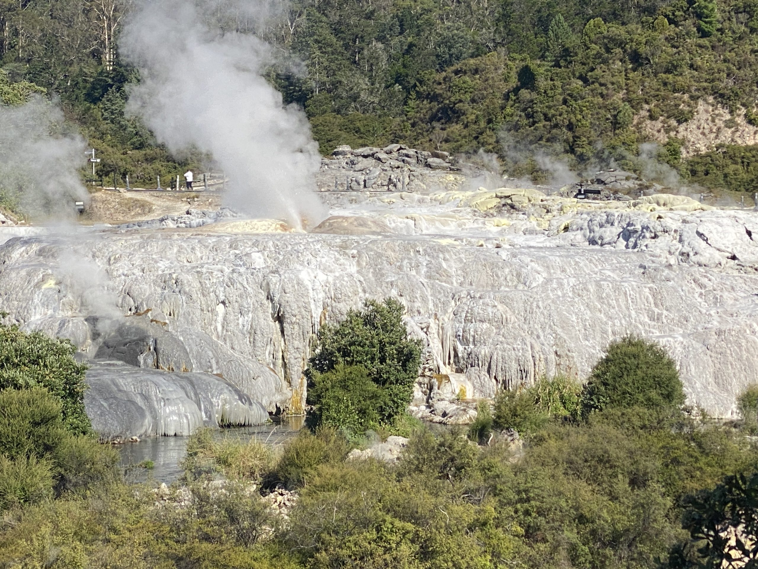
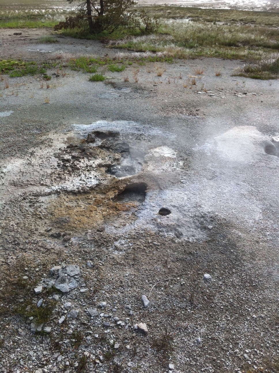
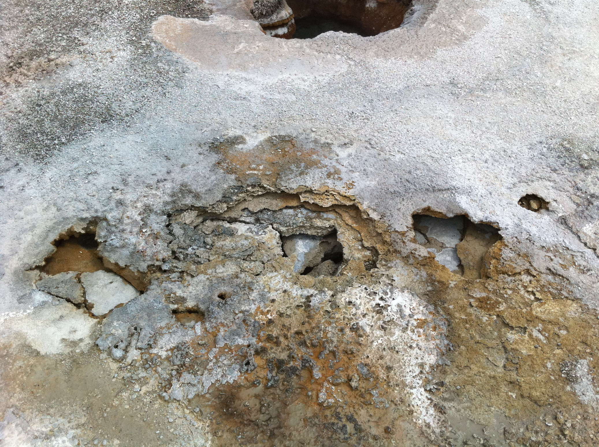
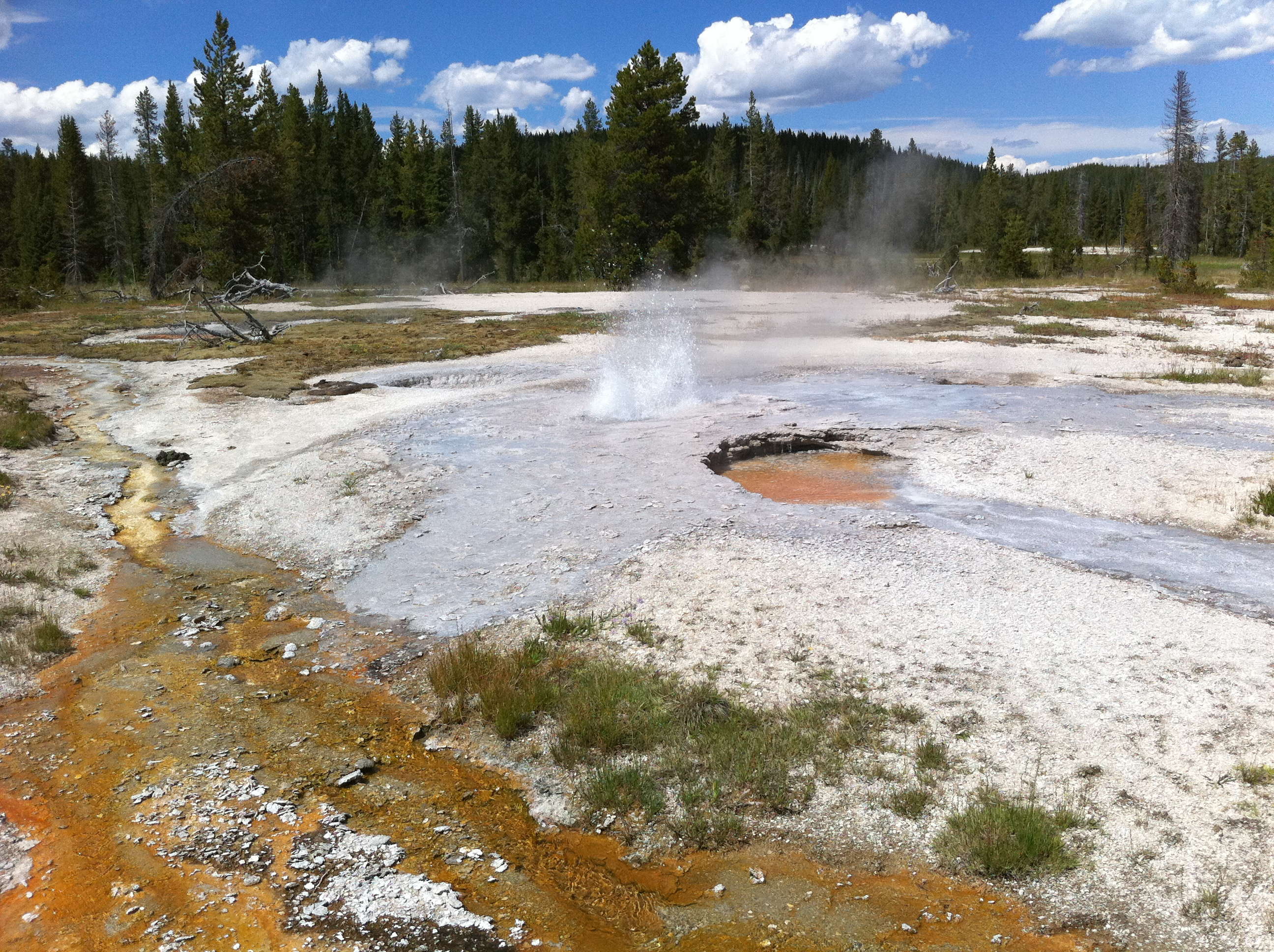
Waikorohihi was interesting. I did see and record some activity from up close, but most of the time we saw it as background to the Pohutu eruptions we saw from the bridge. The durations had a wide range. Some of the earlier ones, when we thought it was Mahanga, lasted only a minute or two. Then we saw some that lasted at least seven minutes. The final eruption we saw from near the mudpots was still in eruption as we left, with a duration well over half an hour.
The Pohutu durations were fairly consistent, from 22 to 33 minutes until the final eruption we saw, which lasted about 37m15s. The last six or seven minutes consisted of intermittent tall splashing and I thought the eruption had finished several times only for it to restart. The intervals ranged from just under an hour to almost 1-1/4 hours. I did manage to record several full (or nearly full) eruptions of Pohutu from various vantage points around it.