Here are a series of stereoviews taken of New Zealand geysers taken around the start of the 20th Century.
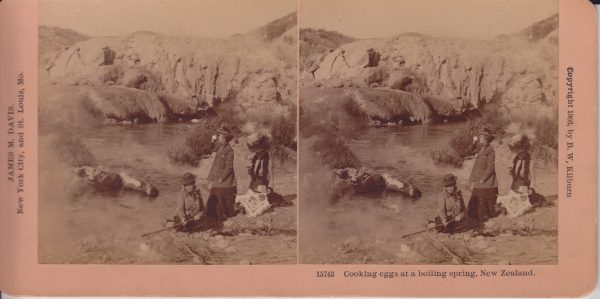
This is a view of Kereru Geyser and the Geyser Flat mound where Pohutu Geyser is located. Kereru is the low, darker mound along the stream bank. When we visited in 2019, the area where the cooking is occurring was an area with numerous frying pans, but no distinct erupting features that I could see.
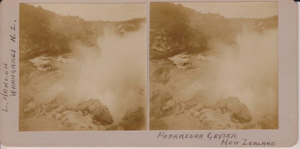
Now called Papakura Geyser, this feature was a large perpetual spouter upstream from Pohutu Geyser along Puarenga Stream at Whakarewarewa. The activity ended in 1979, and that cessation lead to the campaign to limit the use of geothermal bores within 1.5 kilometers of Pohutu. Papakura did erupt for a couple of days in 2015.
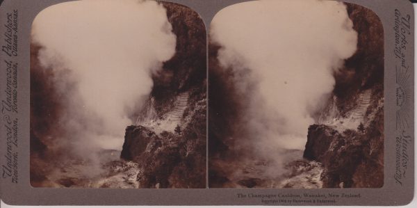
With the production wells for the Wairakei powerplants nearby, this feature is now a hole in the hillside filled with vegetation.
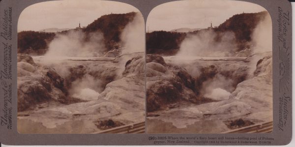
Underwood & Underwood #10316
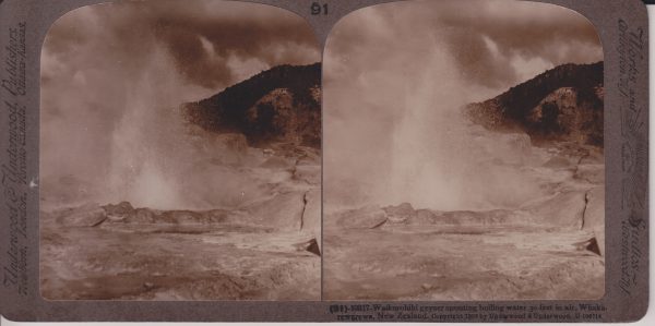
The large vent in the center seems to actually be the vent of Te Horu, which in years past would show sympathetic responses to Pohutu's activity. I believe Pohotu is actually the mound cut off by the right edge of the photo.
This feature is located near Pohutu, and has underground connections to it. It has been occasionally active the last few decades. When we visited in 2019, that was not one of those times, as it and nearby Mahanga were steaming and depositing sulfur around the vents.
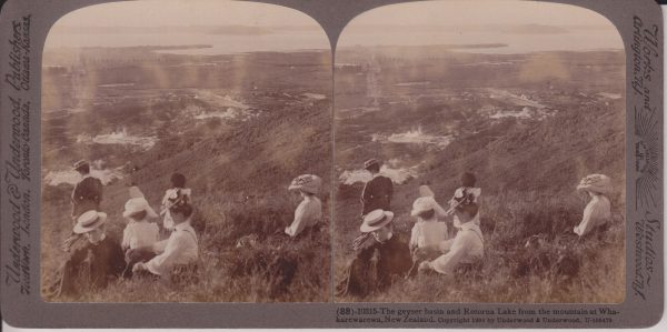
This is probably near the overlook we hiked to when visiting in 2019. On the left side Fenton Street is visible. Fenton was laid out to point directly toward Waikite Geyser, which is located in the bare area behind the standing woman. Pohutu Geyser and the Geyser Flat is the bare area above and to the right of that. Off in the distance, Sulphur Bay of Rotorua Lake is visible. The Whakarewarewa village is in the steaming area to the left of the center of the view. Note that today, the whole area beyond the thermal areas is the city of Rotorua. Much of the hillside to the right is now covered in trees.

