
Posted on
Tag: Pohutu Geyser
Posted on
Posted on
Observations for 2023 March 12
Visted the Rotorua lakeshore and the Government Gardens. Once again, most of the features were murky, acid-sulphate springs and formation. Whangapipiro Pool (aka Rachel Spring) was the one clear, alkaline boiling feature behind a rock wall across the street from the lawn bowling and croquet lawns.
On some maps I've seen a trail along the north side of Puarenga Stream north of Whakawerawera. Investigated it and found that other than one large boiling pool, it doesn't provide any better access or views to the features along the stream inside the village.
The afternoon was spent at the geyser overlook along the Pohaturoa Trail in the Whakawerawera Forest Preserve. From there, over a period of about three hours, saw multiple eruptions of all the features on Geyser Flat.
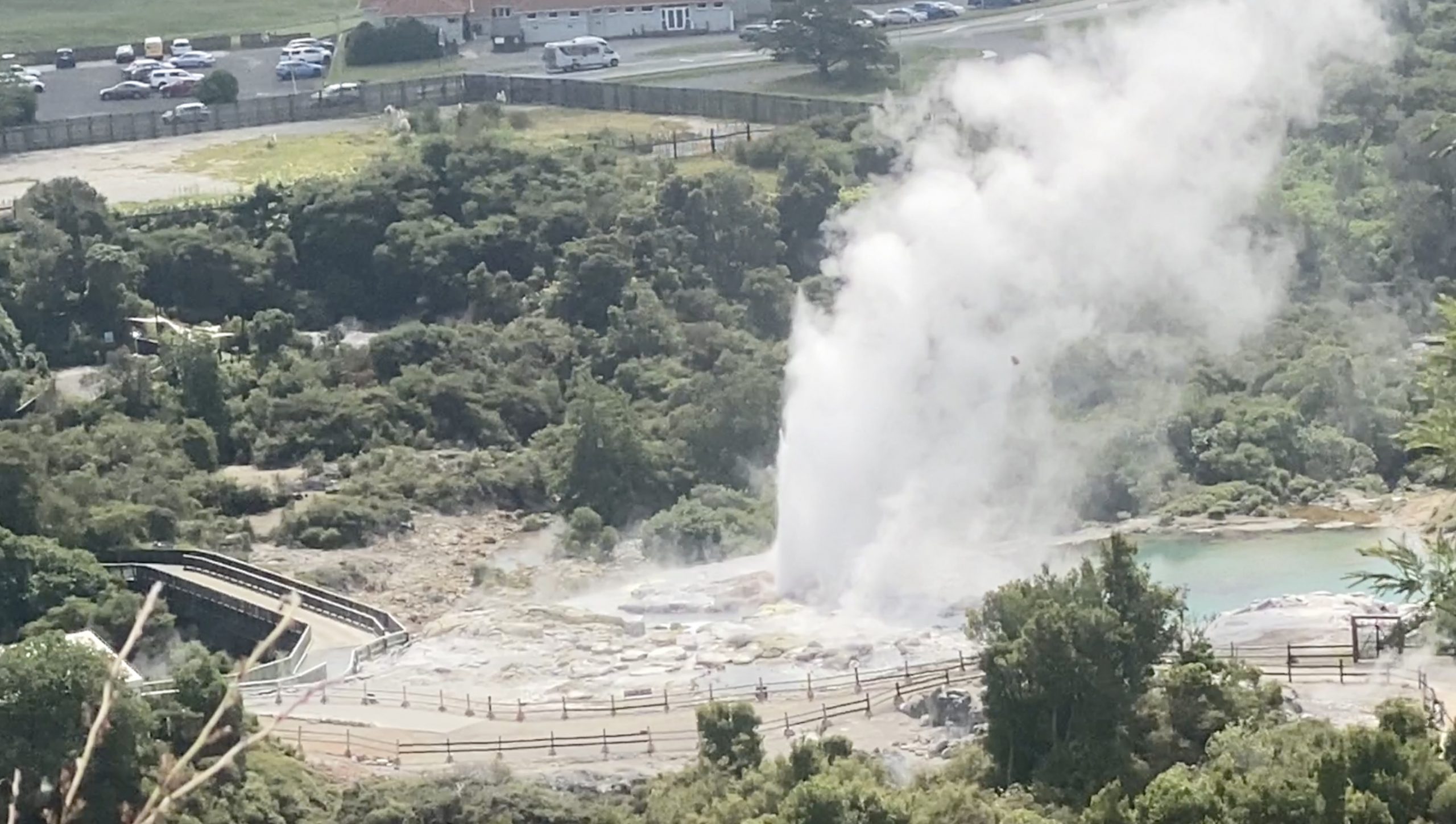
Pohutu seems to have had a short duration eruption, about 15 minutes long, followed by a short interval, about 36 minutes. That eruption was more normal for the last few days, lasting about 45 minutes with an interval of just under 1-1/2 hours. It's interesting that during the last few days, Pohutu was in eruption about half the time, no matter what the duration was.
Saw several series from Mahanga, and again they seemed to be different than previous days, in both length of series and in interval between series. One series was long, about 16 minutes, followed by 34 minutes of quiet. The next series was only a few weak splashes, and then inactivity for 15 minutes. That series duration was almost 20 minutes long, and Mahanga hadn't restarted by the time we left a half hour later.
Finally, we got to see two eruptions of Kereru. The first was a complete surprise, as usual. The second came about 100 minutes later, just as Pohutu was starting. So I should have gotten it on video, but unfortunately I was so zoomed in that the view was bouncing around and I was watching the geysers, not the little screen. So I didn't get much more than some nice still shots.
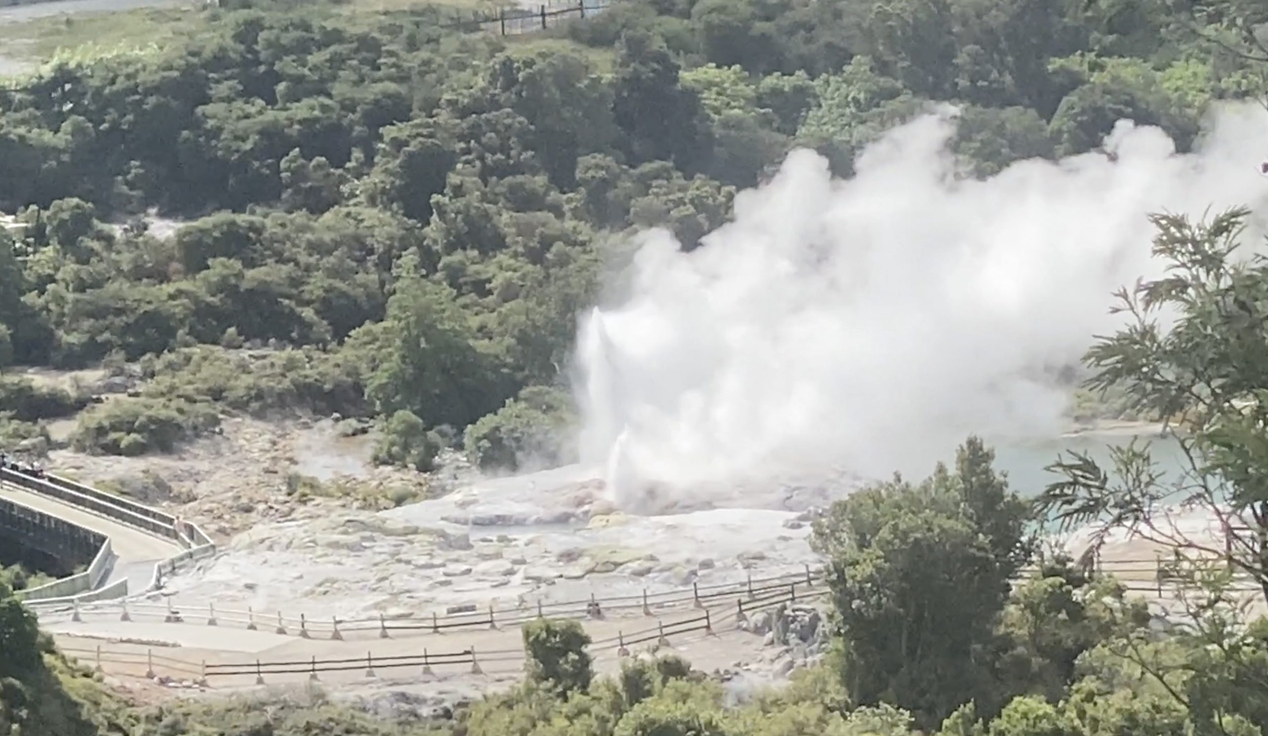
In any case, we have seen Kereru on four different days, and pairs of eruptions with intervals ranging from around 70 minutes to about two hours. I'd say that Kereru is quite active, or we got extremely lucky.
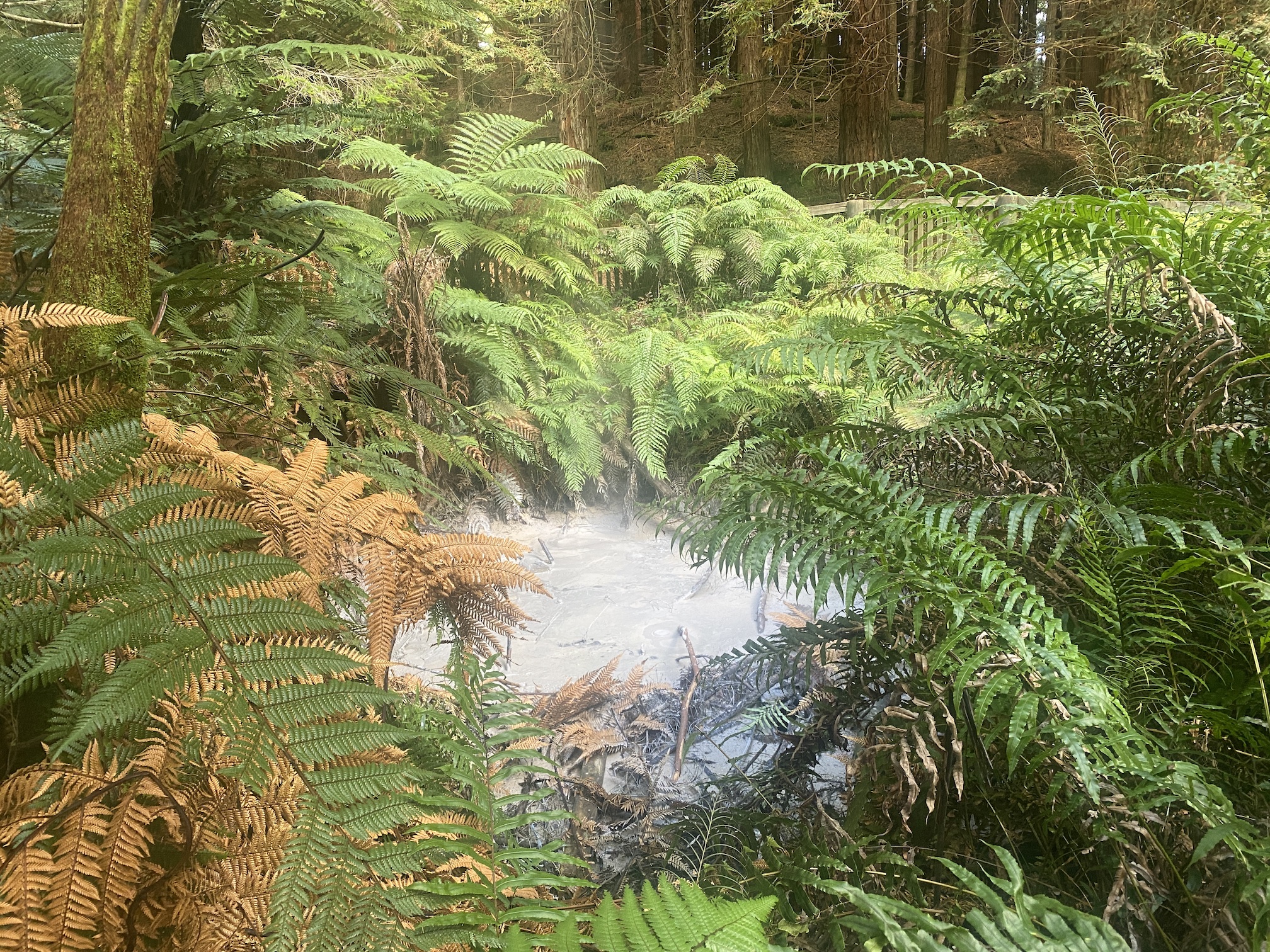
On the way back, we visited one last thermal feature. Deep in the forest of non-native California Redwoods is a small mudpot. It's probably one of the most unusual settings for a thermal feature that I've encountered.
Posted on
Observations for 2023 March 09
Today we returned to the Whakarewarewa thermal area, but on the Maori village side. We got a late start because we misunderstood the types of tours offered. You can't see Korotiotio and Parekohoru on the Geothermal Walks self-guided tour, but need to take the Village Legacy Tour. But that also includes access to the Pohutu viewpoint, where we spent much of our time.
The view of the Geyser Flat, while not close, is still pretty good. You can see enough of Kereru to get an idea of what it is doing, and Mahanga is visible at the same time. We arrived there while Pohutu was active. It was probably early in the eruption of Pohutu, because it continued to erupt for half an hour. We saw the start of a Mahanga series which lasted about 12 minutes.
After 45 minutes or so, Te Tohu started, and almost immediately, we also got an eruption of Kereru. As in the other times we've see it erupt, it seemed to have been quiet before the eruption. Afterwards, it was having strong minors for the next hour or so.
Two hours later, an eruption of Pohutu had come and gone. There were three series of Mahanga eruptions, lasting from 9 to 14 minutes. Pohutu had been erupting for about 12 minutes, and it was three minutes short of two hours when we got to see a second Kereru eruption.
At that point, we took our Geothermal Walk. The area covered is large, with numerous hot pools with occasional mudpots and areas of what appear to be perpetual spouters. The underbrush is thick is many places, hiding features so much that you can hear them, but not see them.
Since we still had an hour before closing, we went back to the overlook, but were blocked out by some tours. By the time we got to the platform, it looked like Kereru was finishing an eruption. Over the next hour, it had many strong minors. Some of these would put up jets of water well above the higher Geyser Flat platform. If that was an eruption, then the interval was about 1-1/2 hour, which fits our previous experiences.
During that time watching the minors, we saw Mahanga end a series, then have another that was still going 19 minutes later, when we finally had to leave the area. At that time Pohutu was still about ten minutes away from another eruption.
Posted on
New Zealand Stereoviews
Here are a series of stereoviews taken of New Zealand geysers taken around the start of the 20th Century.
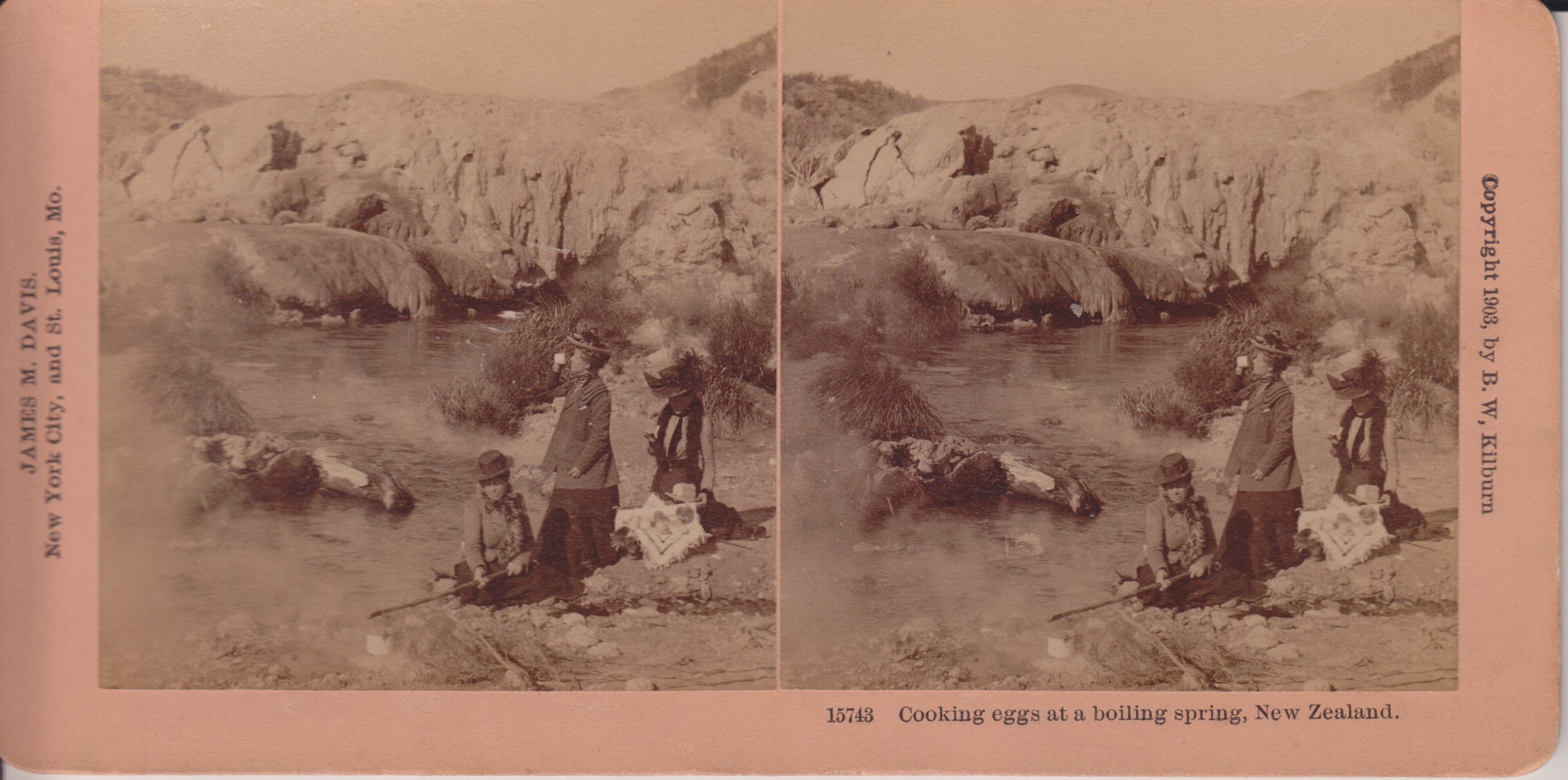
B.W.Kilburn #15743
This is a view of Kereru Geyser and the Geyser Flat mound where Pohutu Geyser is located. Kereru is the low, darker mound along the stream bank. When we visited in 2019, the area where the cooking is occurring was an area with numerous frying pans, but no distinct erupting features that I could see.
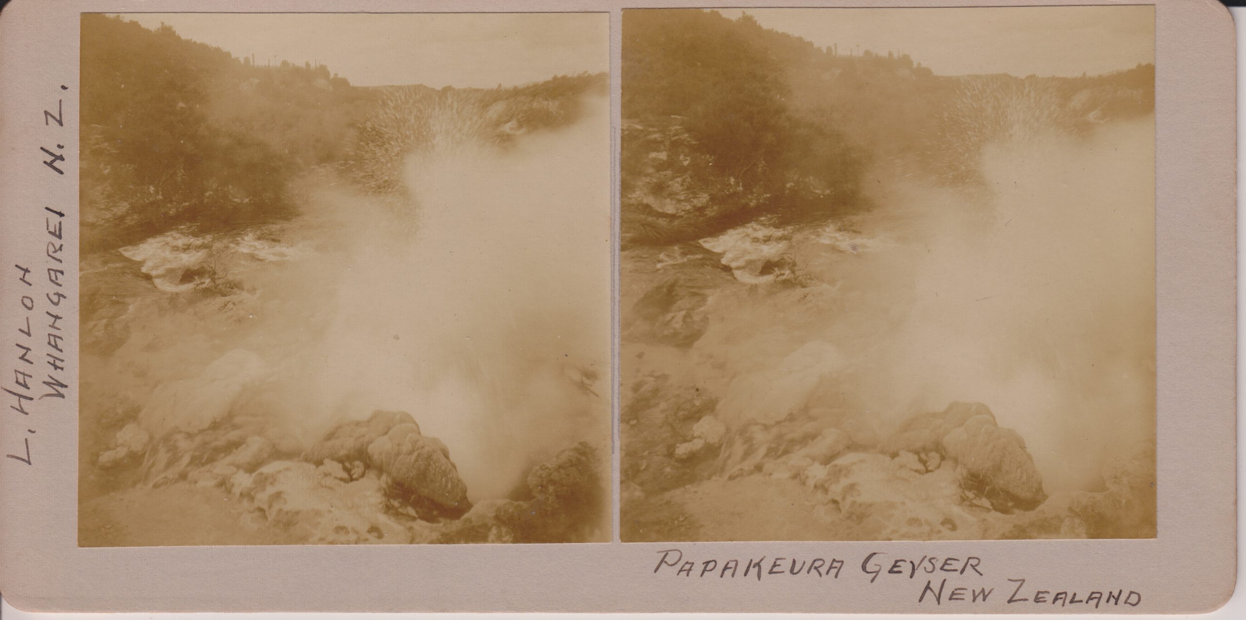
L.Hanlon, Whangarei
Now called Papakura Geyser, this feature was a large perpetual spouter upstream from Pohutu Geyser along Puarenga Stream at Whakarewarewa. The activity ended in 1979, and that cessation lead to the campaign to limit the use of geothermal bores within 1.5 kilometers of Pohutu. Papakura did erupt for a couple of days in 2015.
Underwood & Underwood
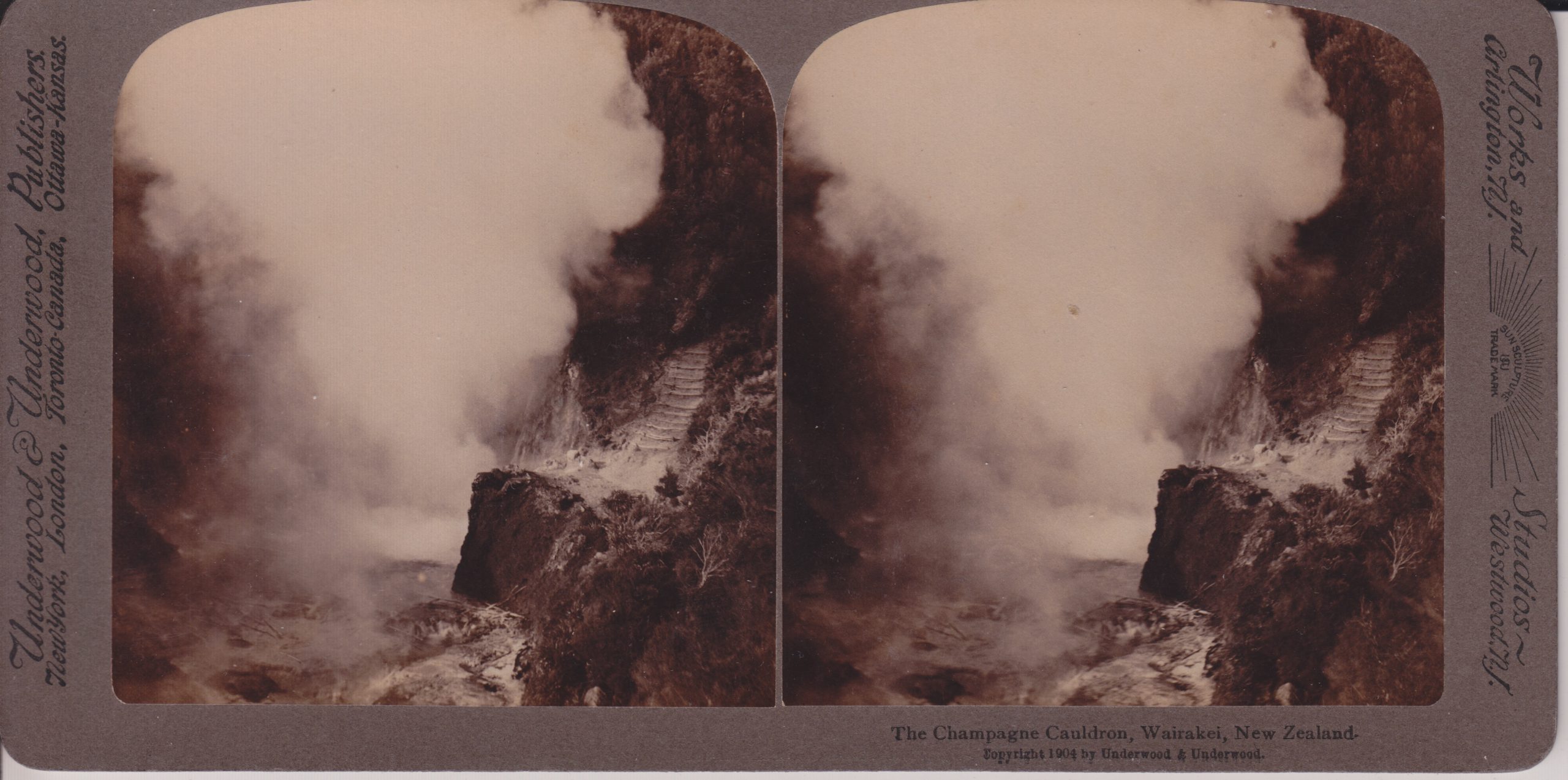
With the production wells for the Wairakei powerplants nearby, this feature is now a hole in the hillside filled with vegetation.
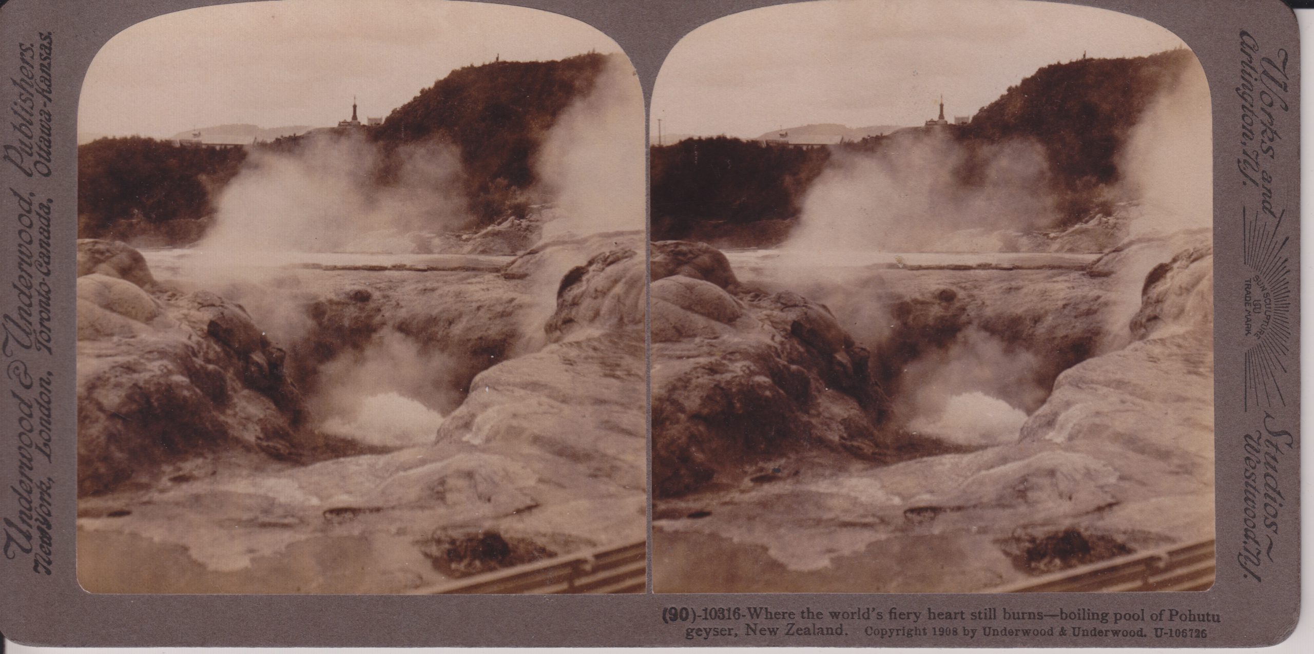
Underwood & Underwood #10316
The large vent in the center seems to actually be the vent of Te Horu, which in years past would show sympathetic responses to Pohutu's activity. I believe Pohotu is actually the mound cut off by the right edge of the photo.
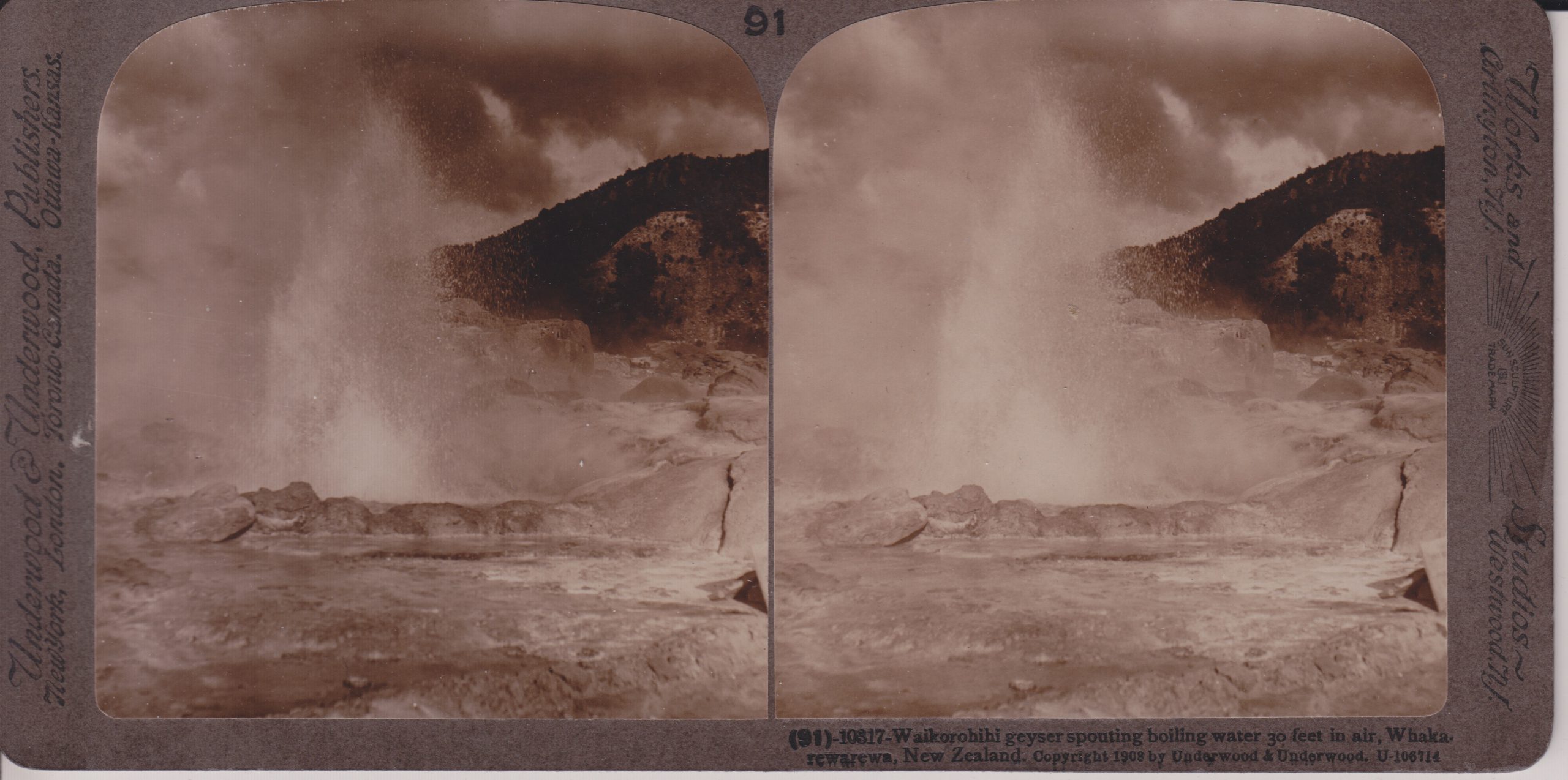
Underwood & Underwood #10317
This feature is located near Pohutu, and has underground connections to it. It has been occasionally active the last few decades. When we visited in 2019, that was not one of those times, as it and nearby Mahanga were steaming and depositing sulfur around the vents.
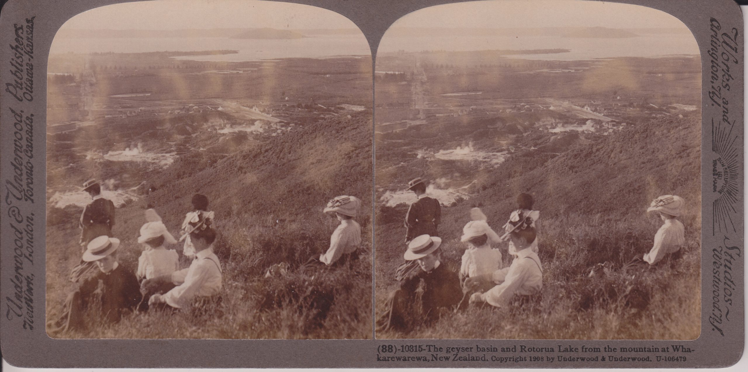
Underwood & Underwood #10315
This is probably near the overlook we hiked to when visiting in 2019. On the left side Fenton Street is visible. Fenton was laid out to point directly toward Waikite Geyser, which is located in the bare area behind the standing woman. Pohutu Geyser and the Geyser Flat is the bare area above and to the right of that. Off in the distance, Sulphur Bay of Rotorua Lake is visible. The Whakarewarewa village is in the steaming area to the left of the center of the view. Note that today, the whole area beyond the thermal areas is the city of Rotorua. Much of the hillside to the right is now covered in trees.
Posted on
Postcard views of New Zealand Geysers
Today was going to be the start of nine days of visiting the thermal areas in and around Rotorua. That didn't happen, but here are a few old postcard views showing things that, for the most part, we wouldn't have seen anyhow.
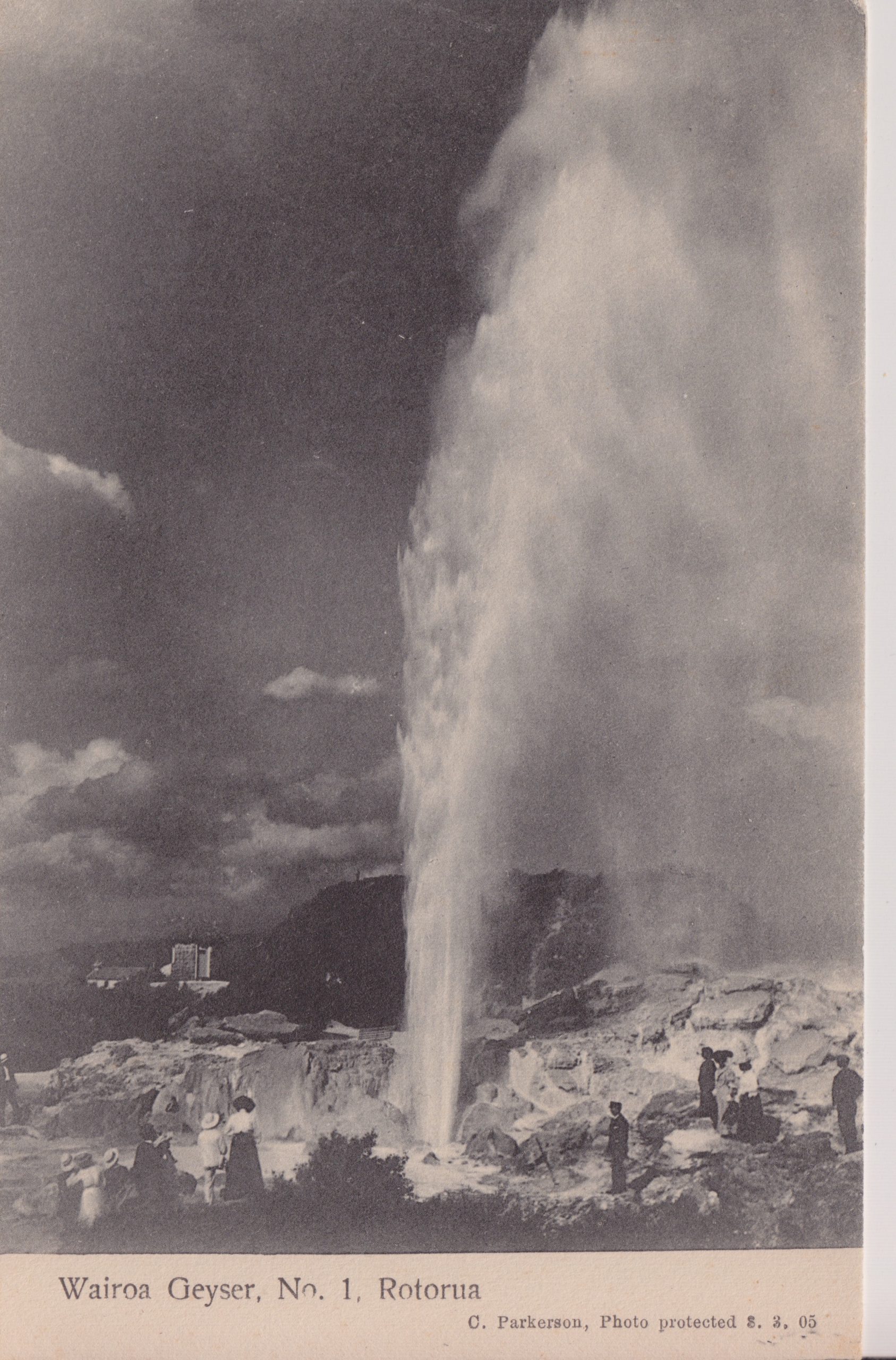
This feature, on the west bank of the Waikato River, now lives beneath the waters of Lake Ohakuri to the north of the ferry crossing over to the terraces. In the 1940s it erupted as frequently as every three hours to heights up to 24 meters (75ft).
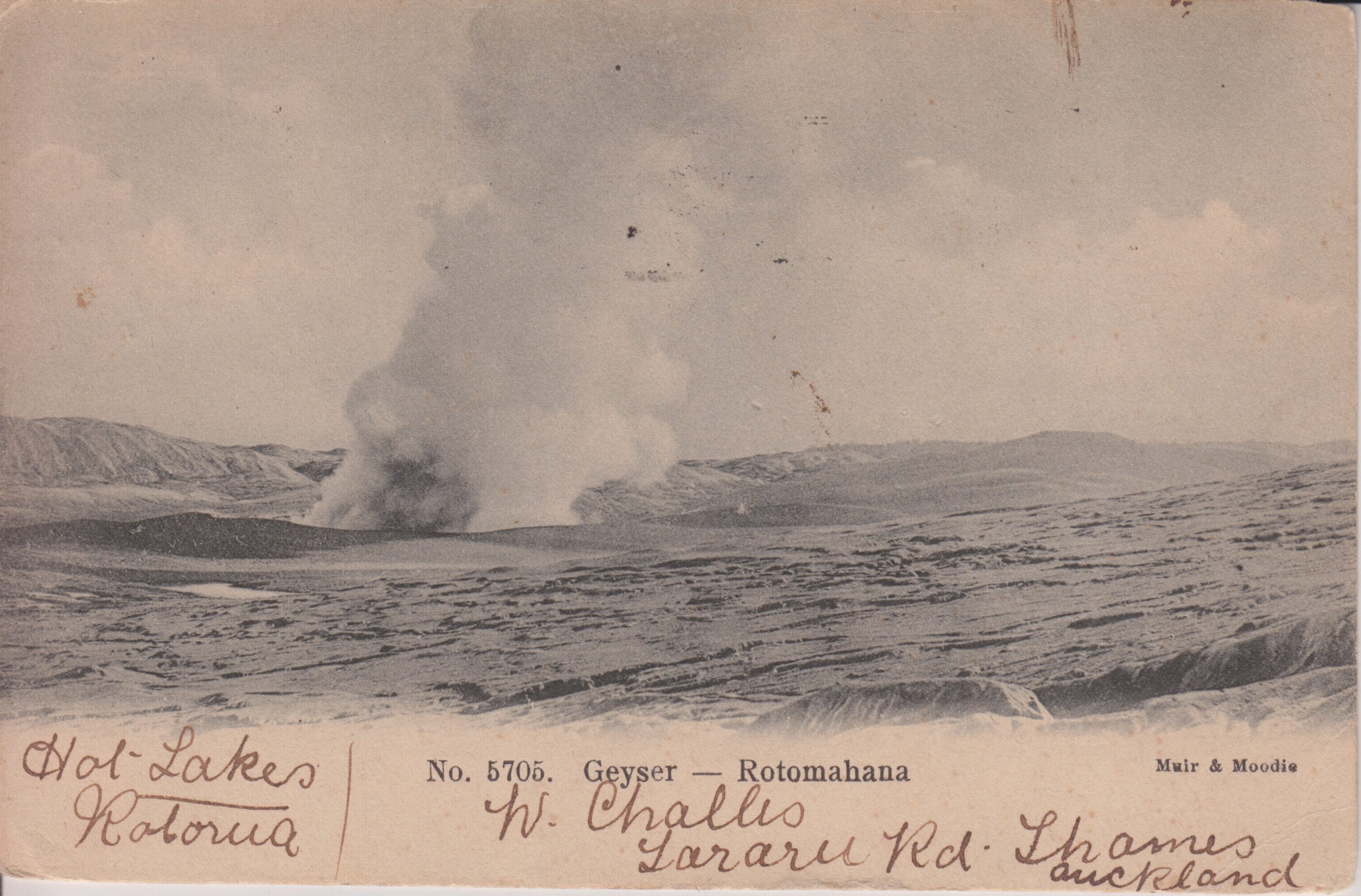
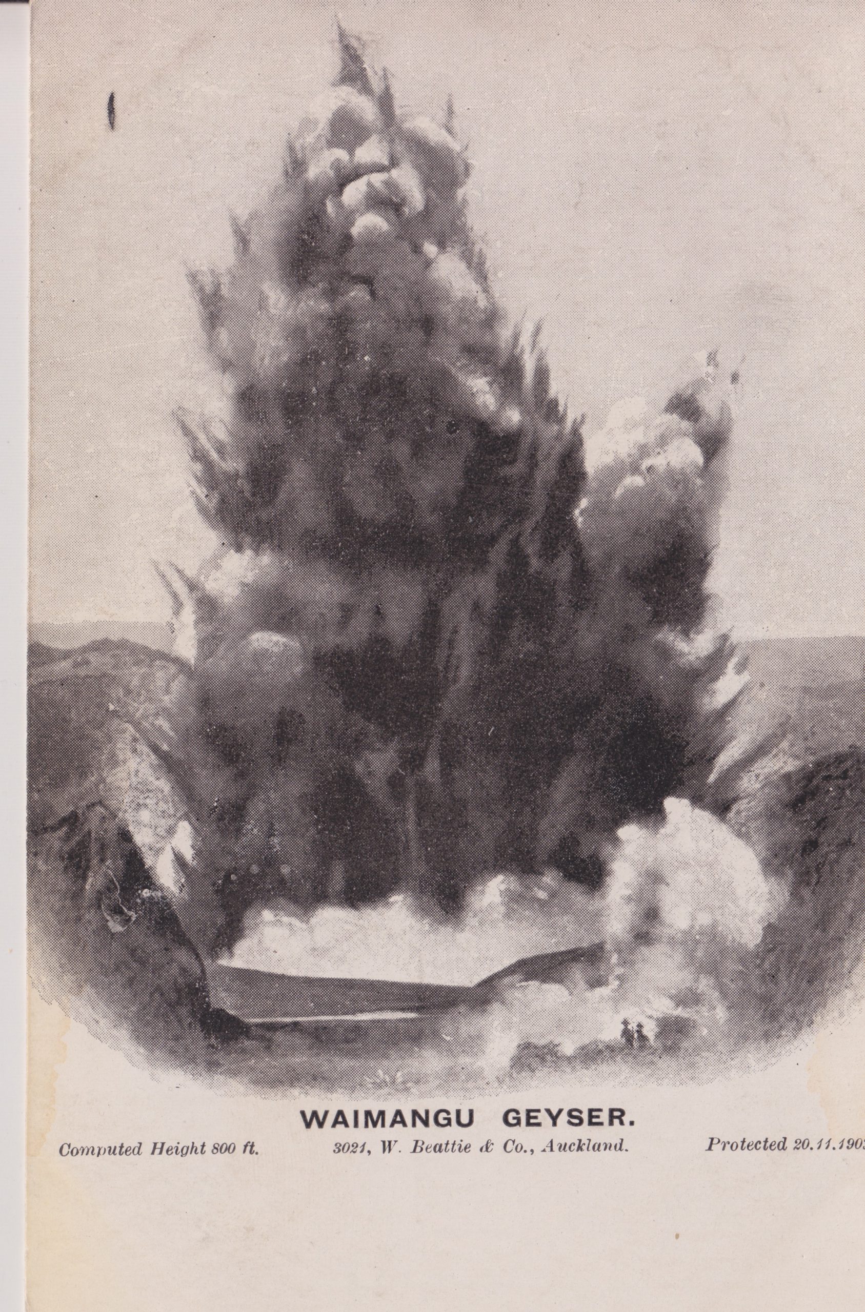
This card has a postmark from 1905, so it is quite possible that it is showing activity from Waimangu.
A view copyrighted 1902.
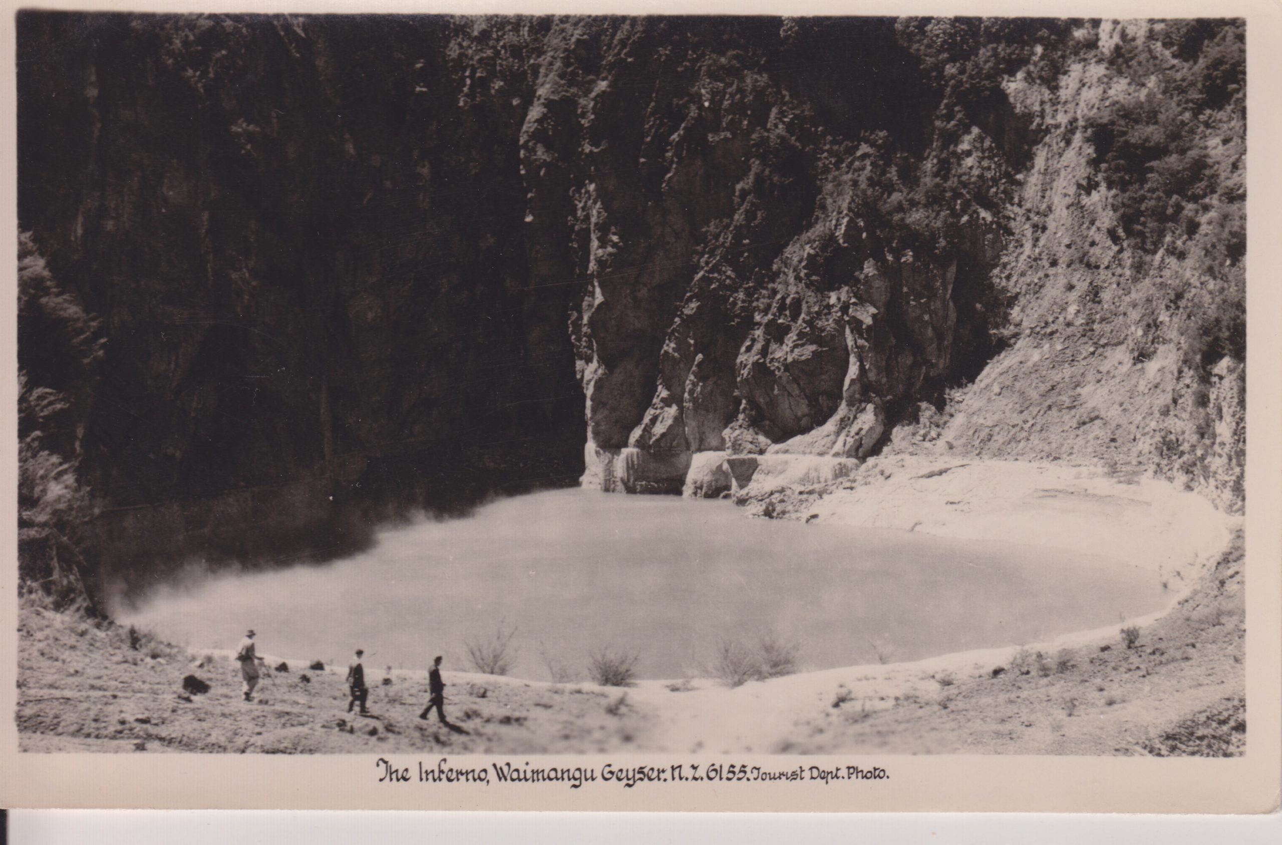
This feature is located about 50 meters to the northeast of where Waimangu was located. It currently has an approximate 38 day cycle of rising to overflow for a few days, then falling. It is also now surrounded by much thicker vegetation.
This geyser has not been active in decades, but has at least shown signs of recovery since the shutdown of hot water wells in the area.

One of the features to the right is most likely Pohutu. There are several other features nearby, including Te Horu and Mahanga.
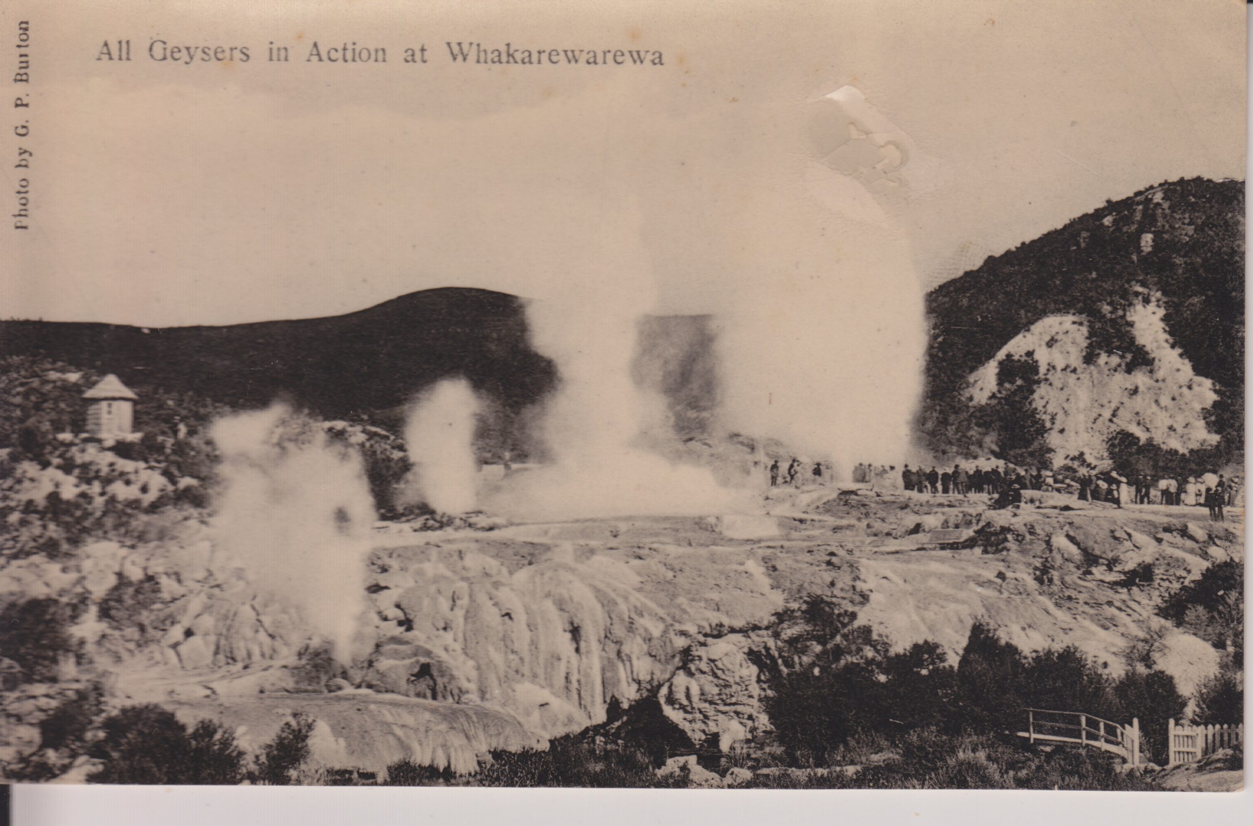
From left to right, it looks like these are Kereru, Mahanga, Pohutu and Wairoa. The view is from the opposite direction of the preceding views, and now what one would first see upon entering through the gate. As with Inferno Crater, there is now a lot more vegetation in the area on the left.
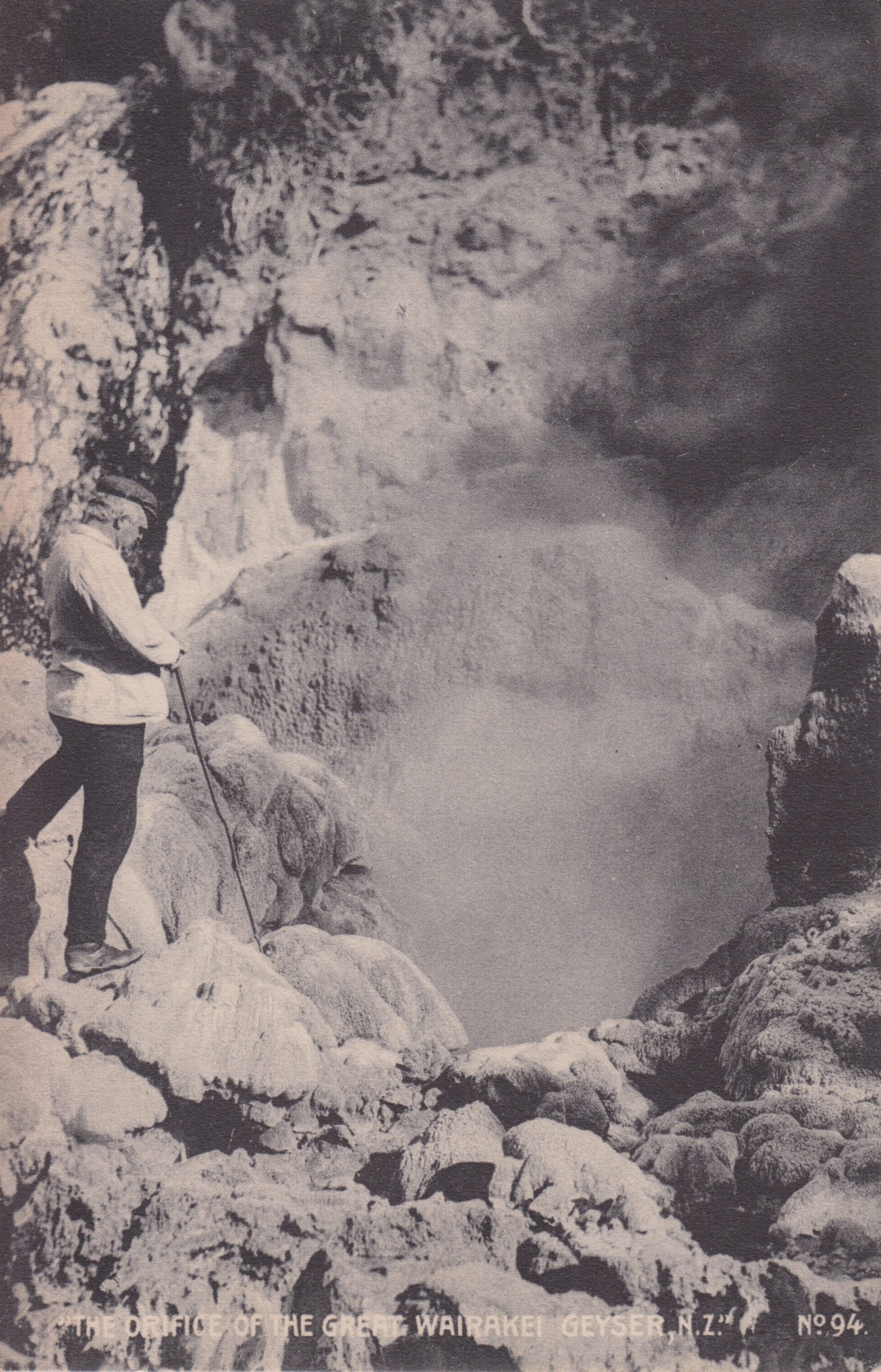
All of the dozens of geysers in the Geyser Valley at Wairakei were destroyed when the power plants started back in the 1950s and 1960s.
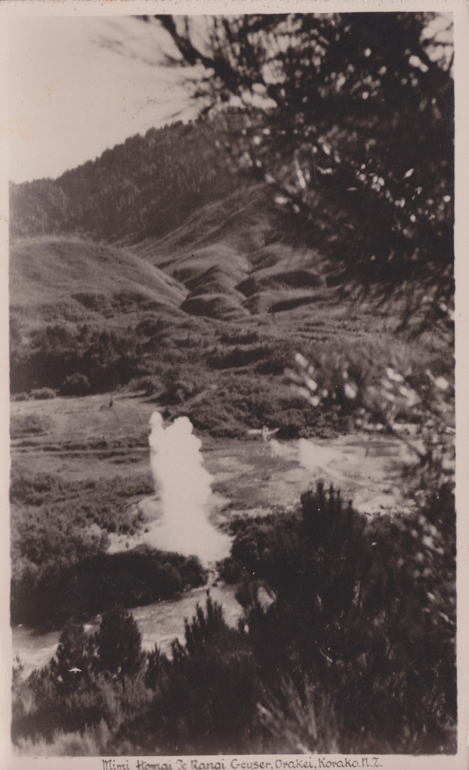
* The name translates to "The urine from [Chief] Homai-te-rangi" [Lloyd, Geology and Hot Springs of Orakeikorako, NZ Bulletin #85, pg.59]. We need more names like this in Yellowstone.